
12
documented records
≈ 54–110
approx. capacity (graves)
2,700 m²
cemetery area
Nov 5, 2026
last modified
About this cemetery
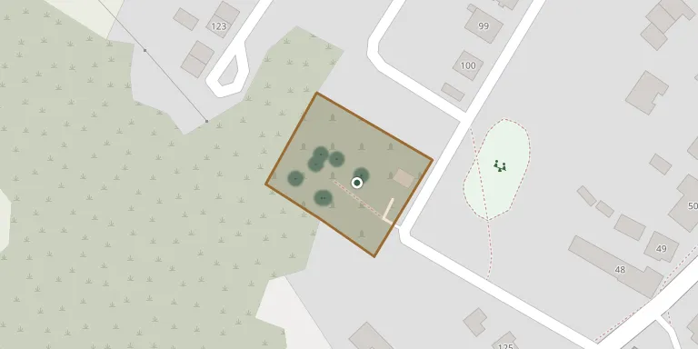
Dolná Trnávka Cemetery lies in Region of Banská Bystrica, Slovakia.
Cemetery location
GPS coordinates: 48.559969° N, 18.785267° E Directions in Google Maps (opens in a new tab)
Memorials
12 memorials, A–Z by surname.
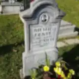 Michal Ďekyš 1910 – 1932
- Emilia Dekyšová 1913 – 1921
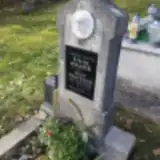 Anna Dekýšová 1887 – 1958
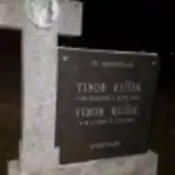 Tibor Kúšik 1945 – 1957
- Tibor Kúšik 1932 – 1945
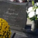 Ľudevít Magula 1924 – 2010
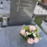 Hermína Slaninová 1921 – 1990
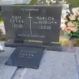 Bohumír Tesák 1950 – 2014
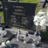 Jozef Tesák 1907 – 1994
- Jozef Tesák 1913 – 1973
- Margita Tesáková 1913 – 1989
- Mária Tesáková 1921 – 2000
Looking for someone who isn't listed? Request a photo.
Nearby cemeteries
The closest other burial grounds listed on EveryStone.
- Dolná Ždaňa Cemetery 2.3 km away · Dolná Ždaňa
- Hliník nad Hronom Cemetery 2.4 km away · Hliník nad Hronom · 9 records
- Horná Ždaňa 2.6 km away · Horná Ždaňa
- Lovča Cemetery 2.8 km away · District of Žiar nad Hronom
- Prestavlky Cemetery 3.8 km away · Prestavlky
- Bzenica Cemetery 4.8 km away · Bzenica
- Žiar nad Hronom Cemetery 5.3 km away · Žiar nad Hronom · 325 records
- Lovčica-Trubín 6.2 km away · Lovčica-Trubín
- Revištské Podzámčie Cemetery 6.3 km away · Revištské Podzámčie
- Kostol sv. Michala 6.3 km away · Vyhne
Contribute with the app
Our website works smoothly on both desktop and mobile devices. Prefer a native app? Check it out below.
- Capture clear headstone photos
- Save GPS grave locations automatically
- Transcribe inscriptions with our AI
- Suggest corrections to existing records
Common questions
How big is Dolná Trnávka Cemetery?
Dolná Trnávka Cemetery covers about 2,700 m² (0.7 acres), about the size of 10 tennis courts. It is the 87th smallest of the 557 cemeteries we list in Region of Banská Bystrica.
What is the oldest grave in this cemetery?
The oldest grave among the records we hold for Dolná Trnávka Cemetery is that of Emilia Dekyšová, who died in 1921 at the age of 8.