
8
documented records
≈ 170–350
approx. capacity (graves)
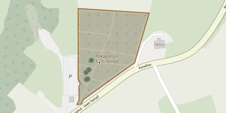
8,710 m²
cemetery area
Nov 5, 2026
last modified
About this cemetery
Sveti Tomaž lies in Sveti Tomaž Municipality, Slovenia.
Cemetery location
GPS coordinates: 46.486774° N, 16.081994° E Directions in Google Maps (opens in a new tab)
Memorials
8 memorials, A–Z by surname.
 Franc Antolič 1936 – 1995
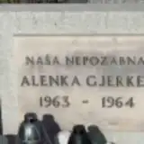 Alenka Gjerkeš 1963 – 1964
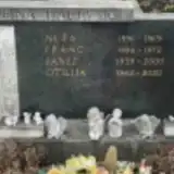 Franc Habjanic 1894 – 1972
- Janez Habjanic 1939 – 2000
- Neža Habjanic 1896 – 1969
- Otilija Habjanic 1942 – 2020
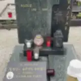 Apolonija Kosi 1891 – 1971
 Franc Rojht 1921 – 1944
Looking for someone who isn't listed? Request a photo.
Nearby cemeteries
The closest other burial grounds listed on EveryStone.
- Pokkopališče Mala Nedelja 4.7 km away · Mala Nedelja
- Polenci Cemetery 6.3 km away · Polenci
- Cezanjevci Cemetery 6.4 km away · Ljutomer
- Podgorci Cemetery 6.7 km away · Podgorci
- Velika Nedelja 7.5 km away · Ormož · 170 records
- Svetinje Cemetery 7.6 km away · Svetinje
- Jursinci Cemetery 8.4 km away · Maribor
- Ormož Cemetery 9.7 km away · Ormož · 67 records
- Ljutomer Cemetery 9.8 km away · Ljutomer · 4 records
- Križevci pri Ljutomeru 10 km away · Križevci Municipality
Contribute with the app
Our website works smoothly on both desktop and mobile devices. Prefer a native app? Check it out below.
- Capture clear headstone photos
- Save GPS grave locations automatically
- Transcribe inscriptions with our AI
- Suggest corrections to existing records
Common questions
How big is Sveti Tomaž?
Sveti Tomaž covers about 8,710 m² (2.2 acres), about the size of a soccer field.
What is the oldest grave in this cemetery?
The oldest grave among the records we hold for Sveti Tomaž is that of Franc Rojht, who died in 1944 at the age of 23.