
7
documented records
≈ 260–530
approx. capacity (graves)
0.013 km²
cemetery area
Nov 5, 2026
last modified
About this cemetery
The cemetery is in St. Niklaus, a village and municipality in the Mattertal, in the district of Visp in the canton of Valais.
Cemetery location
GPS coordinates: 34.423003° S, 57.429084° W Directions in Google Maps (opens in a new tab)
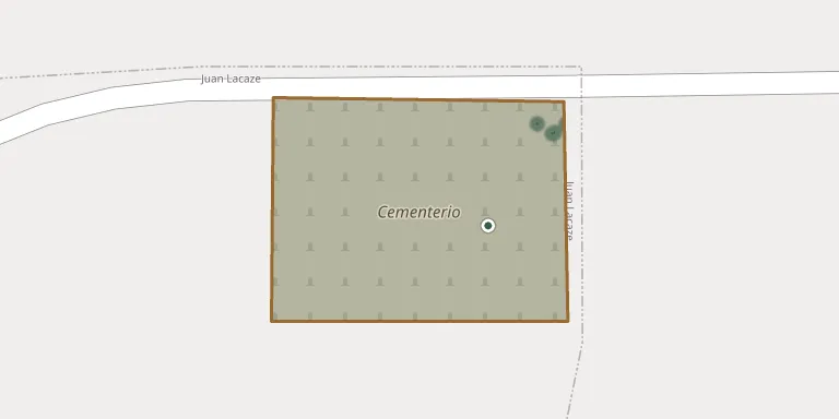
Memorials
7 memorials, A–Z by surname.
 Obdulia Adan 1923 – 1994
 Hugo Costa Ventarron 1947 – 2011
- Brioso Leguizamo ? – 2016
 Carlos Lustembert 1909 – 1990
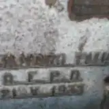 Aurelio Pauar 1905 – 1992
- Alejandro Pavar ? – 1933
- Martina Sosa Castro 2011 – 2011
Looking for someone who isn't listed? Request a photo.
Nearby cemeteries
The closest other burial grounds listed on EveryStone.
- Rosario Cemetery 13 km away · Rosario
- Colonia Valdense Waldensian Cemetery 16 km away · Colonia Valdense
- Nueva Helvecia Evangelical Cemetery 23 km away · Nueva Helvecia
- Nueva Helvecia Municipal Cemetery 23 km away · Nueva Helvecia
- Tarariras Cemetery 24 km away · Paso de Antolín
- Ecilda Paullier Municipal Cemetery 35 km away · Ecilda Paullier
- Municipal de Colonia del Sacramento 38 km away · Colonia del Sacramento
- Colonia Miguelete 53 km away · Sarandí
- Ismael Cortinas 61 km away · Trinidad
- Cardona Cemetery 61 km away · Castillos
Contribute with the app
Our website works smoothly on both desktop and mobile devices. Prefer a native app? Check it out below.
- Capture clear headstone photos
- Save GPS grave locations automatically
- Transcribe inscriptions with our AI
- Suggest corrections to existing records
Common questions
How big is St Niklaus, Valais?
St Niklaus, Valais covers about 13,000 m² (3.3 acres), about the size of 2 soccer fields. It is the 3rd largest of the 83 cemeteries we list in Valais.
What is the oldest grave in this cemetery?
The oldest grave among the records we hold for St Niklaus, Valais is that of Alejandro Pavar, who died on May 21, 1933.