
Cemetery #203740
Nagyrát Cemetery (Rát)
Local name: Кладовище Ратівці
Also known as Nagyráti temető (Rát) · Kladovyshche Rativtsi
18
documented records
≈ 150–300
approx. capacity (graves)
7,410 m²
cemetery area
Nov 5, 2026
last modified
About this cemetery
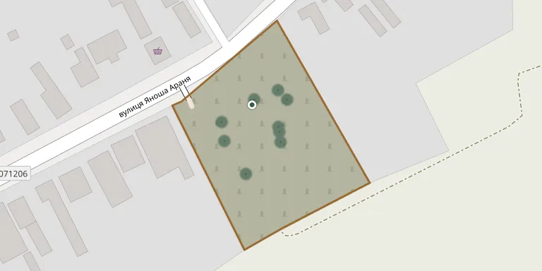
This is the cemetery of the village of Rativtsi in Uzhhorod Raion, Zakarpattia Oblast, known in Hungarian as Nagyrát.
Cemetery location
GPS coordinates: 48.513035° N, 22.252780° E Directions in Google Maps (opens in a new tab)
Memorials
18 memorials, A–Z by surname.
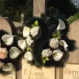 Erzsébet Csizmár 1875 – 1943
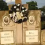 Zinaida Fedasko 1905 – 1964
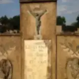 István Gudelics 1883 – 1980
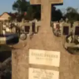 Ambrus Juhász 1911 – 1969
- Mária Juhász 1919 – 2000
 Sándor Kiss 1911 – 1941
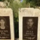 Rita Kocsis 1960 – 2010
 István Lakatos 1921 – 1997
- Margit Lizák 1905 – 1980
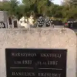 Anatolij Makszimov 1937 – 1997
- Elemér Puli 1958 – 1999
- Erzsébet Rada 1890 – 1965
- Julia Rada 1923 – 1983
- Lajos Rótyuk 1904 – 1950
 Györgyné Szimjon 1877 – 1939
- Julianna Szópó 1924 – 1987
- Péter Tóth 1910 – 1945
- Sándor Tóth 1924 – 1969
Looking for someone who isn't listed? Request a photo.
Nearby cemeteries
The closest other burial grounds listed on EveryStone.
- Szürte Cemetery 1.5 km away · Surty · 11 records
- Rativtsi Cemetery 1.8 km away · Rativtsi
- Tyihlash Village Cemetery 3.0 km away · Tyihlash
- Ruski Heivtsi Village Cemetery 3.1 km away · Tyihlash
- Haloch Old Cemetery 3.9 km away · Haloch
- Mali Heivtsi Village Cemetery 4.2 km away · Velyki Heivtsi
- Chaslivtsi Village Cemetery 5.0 km away · Chaslivtsi
- Haloch Village Cemetery 5.3 km away · Haloch
- Korytnyany Cemetery 5.4 km away · Korytnyany
- Palad-Komarivtsi Cemetery 5.5 km away · Palad-Komarivtsi
Contribute with the app
Our website works smoothly on both desktop and mobile devices. Prefer a native app? Check it out below.
- Capture clear headstone photos
- Save GPS grave locations automatically
- Transcribe inscriptions with our AI
- Suggest corrections to existing records
Common questions
How big is Nagyrát Cemetery (Rát)?
Nagyrát Cemetery (Rát) covers about 7,410 m² (1.8 acres), about the size of a soccer field. It is the 215th largest of the 480 cemeteries we list in Zakarpattia Oblast.
What is the oldest grave in this cemetery?
The oldest grave among the records we hold for Nagyrát Cemetery (Rát) is that of Györgyné Szimjon, who died in 1939 at the age of 62.