
Cemetery #204130
St Marys Cemetery, Andover
Also known as Saint Mary's Cemetery · Andover Cemetery
61
documented records
≈ 890–1,800
approx. capacity (graves)
0.044 km²
cemetery area
Nov 5, 2026
last modified
About this cemetery
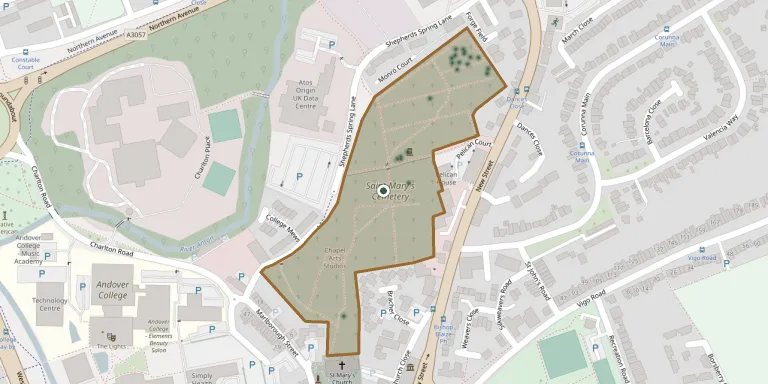
This is the churchyard of St Mary's in Andover, Hampshire, which stands immediately next to the town's Andover Cemetery. It is a closed burial ground and is now maintained by Test Valley Borough Council.
Cemetery location
GPS: GPS coordinates: 51.212110° N, 1.477782° W Directions in Google Maps (opens in a new tab)
Memorials
Showing the first 50 of 61, A–Z by surname. Search all records
 Robert Aldridge 1916 – 1944
 Alastair Allerton 1950 – 1983
- Frank Allerton 1925 – 1997
 Victor Austen 1918 – 1982
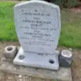 Ernest Bailey 1912 – 1979
- Florence Bailey 1916 – 2006
 Agnes Bennett 1859 – 1936
- George Bennett 1863 – 1930
 Elizabeth Brice ? – 1747
- John Brice ? – 1739
- John Brice ? – 1727
- Mary Brice ? – 1712
- Nathaniel Brice ? – 1724
- William Brice ? – 1753
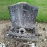 Rosemary Callaghan 1914 – 1979
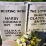 Harry Goddard 1879 – 1940
- Selina Goddard 1880 – 1956
 Edward Graham 1916 – 1941
 Charles Grist 1883 – 1954
- Ethel Grist ? – 1970
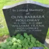 Olive Holloway 1909 – 1983
- William Holloway 1905 – 1999
 Cecil Horne 1907 – 1980
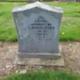 Albert Kemish ? – 1988
- James May 1814 – 1899
- Mary May ? – 1896
- William May ? – 1845
 Thomas McFtah 1864 – 1950
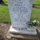 Gerda Melville 1925 – 2010
- Walter Melville 1920 – 1982
 Ann Noyes ? – 1826
- Elizabeth Noyes ? – 1835
- Frances Noyes ? – 1847
 George Noyes 1695 – 1752
- Mary Noyes 1769 – 1855
- Mary Noyes ? – 1820
- Thomas Nuttall 1885 – 1960
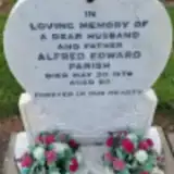 Alfred Parish 1919 – 1979
 William Pheby 1905 – 1982
 Eric Pizzey 1917 – 1940
- Edward Pugh ? – 1818
- John Pugh ? – 1770
- Mary Pugh ? – 1762
- Gladys Smith 1914 – 2004
- Wyndham Stevens ? – 1992
 Albert Strange 1897 – 1954
- John Strange ? – 1942
 James Tait 1888 – 1940
- Christopher Tandy 1905 – 1980
 Edna Tolman 1912 – 1981
Looking for someone who isn't listed? Request a photo.
Nearby cemeteries
The closest other burial grounds listed on EveryStone.
- St Mary Churchyard 250 m away · Andover · 7 records
- St Micheals and All Angels Church, Knights Enham 2.1 km away · Charlton
- All Saints Churchyard 2.6 km away · Upper Clatford · 91 records
- Charlton Cemetery 2.9 km away · Charlton · 17 records
- Christ Church Churchyard 3.3 km away · Smannell · 15 records
- St. Peter's Churchyard 3.5 km away · Goodworth Clatford · 21 records
- Penton Mewsey, Holy Trinity Churchyard 3.8 km away · Penton Mewsey
- St Mary Churchyard 4.2 km away · Abbotts Ann
- Christ Church 4.8 km away · Andover
- St. Michael and All Angels Churchyard 4.8 km away · Weyhill
Contribute with the app
Our website works smoothly on both desktop and mobile devices. Prefer a native app? Check it out below.
- Capture clear headstone photos
- Save GPS grave locations automatically
- Transcribe inscriptions with our AI
- Suggest corrections to existing records
Common questions
How big is St Marys Cemetery, Andover?
St Marys Cemetery, Andover covers about 44,000 m² (11 acres), about the size of 6 soccer fields. It is the 19th largest of the 466 cemeteries we list in Hampshire.
What is the oldest grave in this cemetery?
The oldest grave among the records we hold for St Marys Cemetery, Andover is that of Mary Brice, who died on May 11, 1712.