
Cemetery #204203
Barton-le-Clay Cemetery
Also known as Barton Cemetery
34
documented records
≈ 190–370
approx. capacity (graves)
9,350 m²
cemetery area
Nov 5, 2026
last modified
About this cemetery
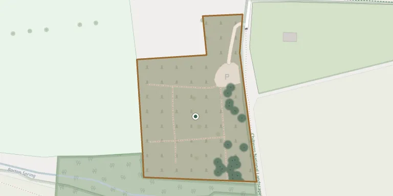
The burial ground on Church Road in Barton-le-Clay, Bedfordshire, is run by Barton-le-Clay Parish Council. The council has a legal duty to keep the cemetery safe and carries out memorial stability testing.
Cemetery location
GPS coordinates: 51.959866° N, 0.422545° W Directions in Google Maps (opens in a new tab)
Memorials
34 memorials, A–Z by surname.
 Frank Bearman 1916 – 1980
- Ruth Bearman 1916 – 2004
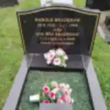 Ada Bradshaw 1923 – 2020
 Eva Bradshaw 1910 – 2007
- Harold Bradshaw 1922 – 1998
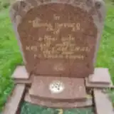 Tu Chau 1927 – 2001
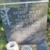 Doris Fawcett 1914 – 1975
- George Fawcett ? – 1981
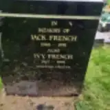 Ivy French 1907 – 1995
- Jack French 1906 – 1991
 Herbert Gardner 1887 – 1966
- Jane Gardner 1895 – 1979
 Hugh Griffiths 1921 – 2003
- Jean Griffiths 1934 – 1992
 Robert Harris 1940 – 2005
 Jack Hendry 1929 – 1979
 James Jackson 1947 – 2005
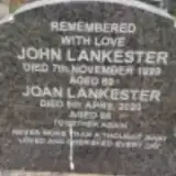 Joan Lankester 1934 – 2020
- John Lankester ? – 1999
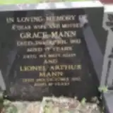 Grace Mann 1918 – 1993
- Lionel Mann ? – 2002
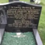 Betty Mitchell 1926 – 2010
- Ronald Mitchell ? – 1988
 Rustom Murzban 1925 – 1970
 Michael O Donnell 1901 – 1966
- Michael O'Donnell ? – 1960
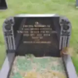 Walter Payne 1922 – 1984
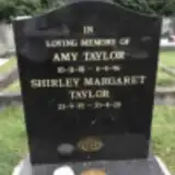 Amy Taylor 1901 – 1996
- Shirley Taylor 1935 – 2020
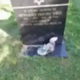 Bernard Vine 1923 – 1995
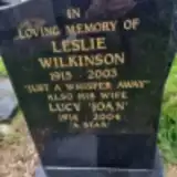 Leslie Wilkinson 1915 – 2003
- Lucy Wilkinson 1914 – 2004
 Arthur Woodfield ? – 1961
- Florence Woodfield 1903 – 1987
Looking for someone who isn't listed? Request a photo.
Nearby cemeteries
The closest other burial grounds listed on EveryStone.
- St. Faith's Churchyard 1.9 km away · Hexton
- St Margaret Churchyard 3.2 km away · Higham Gobion
- Pulloxhill (St. James) Churchyard 4.3 km away · Pulloxhill
- Harlington Cemetery 4.6 km away · Harlington
- St Mary the Virgin Church Cemetery 4.6 km away · Harlington
- St. Mary the Virgin Churchyard 5.0 km away · Sundon
- Lilley Cemetery 5.1 km away · Lilley
- Harlington Cemetery 5.3 km away · Harlington
- Silsoe (St. James) Churchyard 5.4 km away · Silsoe
- The Vale Burial Extension 5.8 km away · Luton
Contribute with the app
Our website works smoothly on both desktop and mobile devices. Prefer a native app? Check it out below.
- Capture clear headstone photos
- Save GPS grave locations automatically
- Transcribe inscriptions with our AI
- Suggest corrections to existing records
Common questions
How big is Barton-le-Clay Cemetery?
Barton-le-Clay Cemetery covers about 9,350 m² (2.3 acres), about the size of a soccer field. It is the 65th largest of the 216 cemeteries we list in Hertfordshire.
What is the oldest grave in this cemetery?
The oldest grave among the records we hold for Barton-le-Clay Cemetery is that of Michael O'Donnell, who died on October 26, 1960.