
Cemetery #20432
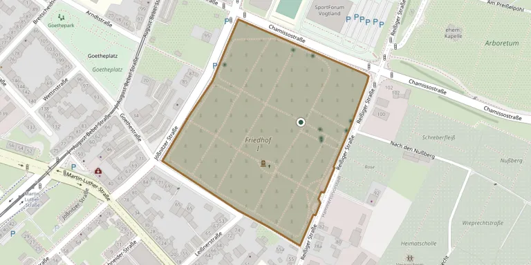
Plauen Cemetery (1)
Local name: Friedhof Plauen (1)
Also known as Friedhof Plauen I · Friedhof I, Plauen
45
documented records
≈ 1,300–2,700
approx. capacity (graves)
0.067 km²
cemetery area
Nov 4, 2026
last modified
About this cemetery
Friedhof I in Plauen is one of the church cemeteries of the city, located in the Reißiger Vorstadt. It was consecrated in 1866, covers 6.78 hectares and has a bell tower. It is administered centrally with the other cemeteries of the Kirchgemeindebund Plauen.
Cemetery location
GPS coordinates: 50.506081° N, 12.146030° E Directions in Google Maps (opens in a new tab)
Memorials
45 memorials, A–Z by surname.
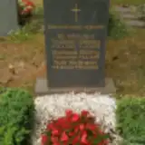 Gertraud Dölling 1899 – 1988
- Theodor Dölling 1898 – 1979
 Werner Eicker 1914 – 1970
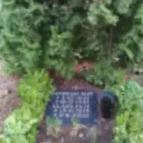 Klara Elze 1917 – 2000
- Reinhold Elze 1922 – 1987
- Elisabeth Ficker 1915 – 2004
 Fritz Fleischer 1887 – 1887
- Jacob Fleischer 1812 – 1895
- Johannes Fleischer 1859 – 1904
 Mana Fromme 1941 – 2012
- Werner Götz 1943 – 2013
- Elsabe Hartwig 1889 – 1978
- Franz Hartwig 1878 – 1915
- Helene Hartwig 1893 – 1978
- Paul Hartwig 1875 – 1966
 Johanna Himmer 1902 – 1991
- Ruth Hofmann 1922 – 1999
 Johanna Jacob 1891 – 1984
 Marie-Luise Koch 1910 – 1983
- Marie Kolbe 1867 – 1935
 Christa Kriester 1930 – 1989
- Werner Kuhn 1923 – 1979
- Rosa Lorenz 1904 – 2002
 Herta Niesel 1915 – 2013
 Horst Oertel 1914 – 2005
- Martha Oertel 1914 – 1992
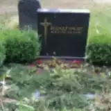 Rudolf Paust 1910 – 1990
- Herbert Peter 1905 – 1977
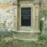 Friedericke Popp 1849 – 1917
- Karl Popp 1844 – 1891
 Louise Pressler 1846 – 1925
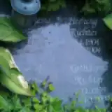 Hedwig Richter 1904 – 2004
- Katharina Richter 1939 – 2004
- Friedrich Schulz 1864 – 1919
- Helene Schulz 1871 – 1925
 Elli Tietze 1920 – 2012
- Albert Wolf 1905 – 1989
- Emilie Wolf 1835 – 1901
- Hanna Wolf 1913 – 1980
- Julius Wolf 1829 – 1887
- Julius Wolf 1865 – 1951
- Ferd. Wolff 1904 – 1940
- Karl Wolff 1845 – 1892
- Marie Wolff 1849 – 1935
- Otto Wolff 1872 – 1935
Looking for someone who isn't listed? Request a photo.
Nearby cemeteries
The closest other burial grounds listed on EveryStone.
- Plauen Main Cemetery 2.5 km away · Plauen
- Oberjößnitz Jewish Cemetery 3.7 km away · Oberjößnitz
- Neundorf Cemetery 4.3 km away · Oberneundorf
- Kauschwitz Cemetery 4.3 km away · Kauschwitz
- Jößnitz Cemetery 4.6 km away · Jößnitz
- Oberlosa Cemetery 5.1 km away · Oberlosa
- Straßberg Cemetery 5.3 km away · Straßberg
- Altensalz Cemetery 5.4 km away · Altensalz
- Jocketa Cemetery Grounds (Heritage Ensemble) 6.0 km away · Pöhl
- Steinsdorf Cemetery 6.3 km away · Steinsdorf
Contribute with the app
Our website works smoothly on both desktop and mobile devices. Prefer a native app? Check it out below.
- Capture clear headstone photos
- Save GPS grave locations automatically
- Transcribe inscriptions with our AI
- Suggest corrections to existing records
Common questions
How big is Plauen Cemetery (1)?
Plauen Cemetery (1) covers about 67,000 m² (16 acres), about the size of 9 soccer fields. It is the 38th largest of the 1,500 cemeteries we list in Saxony.
What is the oldest grave in this cemetery?
The oldest grave among the records we hold for Plauen Cemetery (1) is that of Fritz Fleischer, who died on July 29, 1887 at the age of 0.