
Cemetery #204356
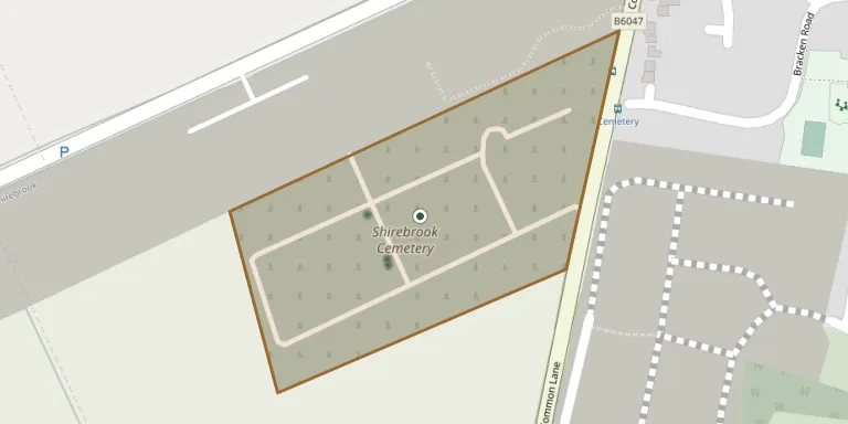
Shirebrook Cemetery
4
documented records
≈ 860–1,700
approx. capacity (graves)
0.043 km²
cemetery area
Nov 5, 2026
last modified
About this cemetery
Shirebrook Cemetery was founded in 1899 on a plot of about 10.5 acres, together with a chapel, to serve the population that had grown rapidly with the colliery. It is now run by Shirebrook Town Council.
Cemetery location
GPS coordinates: 53.197297° N, 1.234813° W Directions in Google Maps (opens in a new tab)
Memorials
4 memorials, A–Z by surname.
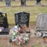 Barbara Edmunds 1939 – 1999
- Leonard Edmunds 1936 – 2014
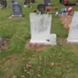 Michael France 1859 – 1882
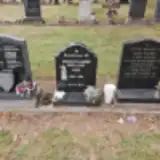 Ronald Holland 1939 – 1994
Looking for someone who isn't listed? Request a photo.
Nearby cemeteries
The closest other burial grounds listed on EveryStone.
- St Michaels Church, Pleasley 2.5 km away · Pleasley
- Holy Cross Church, Upper Langwith 2.5 km away · Upper Langwith · 9 records
- Saint Leonard Churchyard 2.5 km away · Scarcliffe
- Pleasley Hill Cemetery 3.3 km away · Pleasley
- St Luke Church, Whaley Thorns 4.6 km away · Langwith
- St Edmund King and Martyr, Mansfield Woodhouse 4.7 km away · Mansfield Woodhouse
- Bolsover New Cemetery 4.7 km away · Bolsover
- St John the Baptist Churchyard 4.8 km away · Ault Hucknall · 3 records
- Ault Hucknall Cemetery 4.8 km away · Ault Hucknall
- Welbeck Rd Churchyard 4.8 km away · Mansfield Woodhouse
Contribute with the app
Our website works smoothly on both desktop and mobile devices. Prefer a native app? Check it out below.
- Capture clear headstone photos
- Save GPS grave locations automatically
- Transcribe inscriptions with our AI
- Suggest corrections to existing records
Common questions
How big is Shirebrook Cemetery?
Shirebrook Cemetery covers about 43,000 m² (11 acres), about the size of 6 soccer fields. It is the 16th largest of the 249 cemeteries we list in Nottinghamshire.
What is the oldest grave in this cemetery?
The oldest grave among the records we hold for Shirebrook Cemetery is that of Michael David France, who died on August 2, 1882 at the age of 22.