
Cemetery #2115
East Selkirk Cemetery
Also known as St. Stanislaus Roman Catholic Cemetery, East Selkirk, Manitoba
1
documented record
≈ 320–630
approx. capacity (graves)
0.016 km²
cemetery area
Oct 18, 2026
last modified
About this cemetery
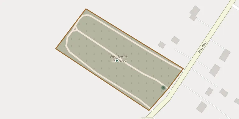
East Selkirk Cemetery lies on Ferry Road (Highway 212), northeast of Highway 204 in East Selkirk, in the Rural Municipality of St. Clements, Manitoba. The site contains three cemeteries, including St. Mary's Ukrainian Catholic Cemetery, and is associated with the Blessed Virgin Mary Church. The Commonwealth War Graves Commission lists it as East Selkirk Ruthenian Cemetery. More about the cemetery can be found through mhs.mb.ca.
Cemetery location
GPS coordinates: 50.139265° N, 96.852669° W Directions in Google Maps (opens in a new tab)
Memorials
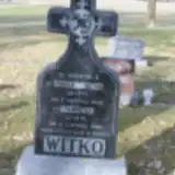
1 memorial, A–Z by surname.
Looking for someone who isn't listed? Request a photo.
Nearby cemeteries
The closest other burial grounds listed on EveryStone.
- Notre Dame Roman Catholic Cemetery 3.7 km away · St. Andrews
- Holy Eucharist Ukrainian Catholic Cemetery 4.2 km away · Selkirk
- Little Britain United Church Cemetery 7.5 km away · St. Andrews
- Saint Matthew Anglican Cemetery 11 km away · St. Andrews
- Cloverdale (St. Matthew'S) Cemetery 11 km away · Cloverdale
- Saint Andrew's on the Red Anglican Cemetery 12 km away · St. Andrews
- Village of Garson Cemetery 13 km away · Brokenhead
- Sacred Heart Roman Catholic Cemetery 13 km away · Saint Andrews
- Blessed Virgin Mary Ukrainian Catholic Cemetery 13 km away · St. Andrews
- St. Nicholas Russian Orthodox Cemetery 13 km away · Narol
Contribute with the app
Our website works smoothly on both desktop and mobile devices. Prefer a native app? Check it out below.
- Capture clear headstone photos
- Save GPS grave locations automatically
- Transcribe inscriptions with our AI
- Suggest corrections to existing records
Common questions
How big is East Selkirk Cemetery?
East Selkirk Cemetery covers about 16,000 m² (3.9 acres), about the size of 2 soccer fields. It is the 120th largest of the 548 cemeteries we list in Manitoba.
What is the oldest grave in this cemetery?
The oldest grave among the records we hold for East Selkirk Cemetery is that of Agnieszka Witko, who died on August 4, 1942 at the age of 70.