
Cemetery #21295
Lubiń Parish Cemetery
Local name: Lubiń cmentarz parafialny
Also known as Cmentarz parafii pw. Narodzenia NMP w Lubiniu
161
documented records
≈ 330–660
approx. capacity (graves)
0.016 km²
cemetery area
Nov 5, 2026
last modified
About this cemetery
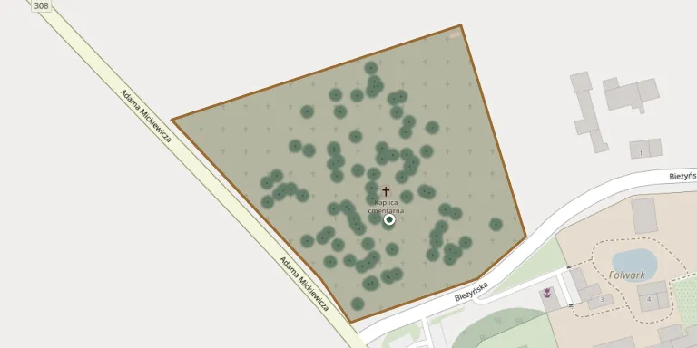
The parish cemetery in Lubiń lies right next to the Benedictine monastery complex and belongs to the parish of the Nativity of the Blessed Virgin Mary. The parish offers an online map of the cemetery for finding graves.
Cemetery location
GPS: GPS coordinates: 51.967300° N, 16.898800° E Directions in Google Maps (opens in a new tab)
Memorials
Showing the first 50 of 161, A–Z by surname. Search all records
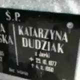 Katarzyna Dudziak 1877 – 1960
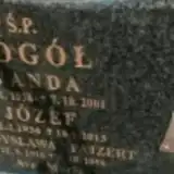 Józef Gogół 1934 – 2013
- Wanda Gogół 1938 – 2001
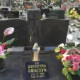 Krystyna Graczyk 1941 – 2017
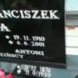 Antonina Jagodzińska 1887 – 1937
- Antoni Jagodziński 1874 – 1939
- Franciszek Jagodziński 1910 – 2001
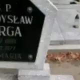 Władysław Jurga 1898 – 1977
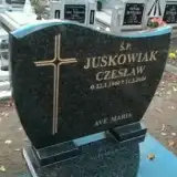 Czesław Juskowiak 1944 – 2004
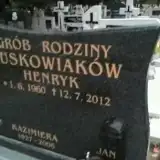 Henryk Juskowiak 1960 – 2012
- Kazimiera Juskowiak 1927 – 2006
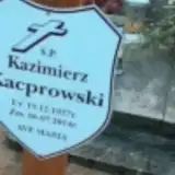 Kazimierz Kacprowski 1937 – 2014
 Marcjanna Kaczmarek 1881 – 1960
 Marianna Kaczmarek 1913 – 1984
- Stanisław Kaczmarek 1880 – 1963
 Stanisława Kaczmarek 1909 – 1997
- Stefan Kaczmarek 1904 – 1983
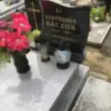 Stanisława Kaczor 1909 – 1991
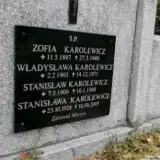 Stanisław Karolewicz 1900 – 1988
- Stanisława Karolewicz 1928 – 2005
- Władysława Karolewicz 1903 – 1971
- Zofia Karolewicz 1897 – 1940
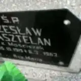 Józefa Kasztelan 1921 – 1995
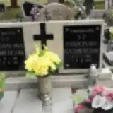 Franciszek Kaźmierczak 1907 – 1979
- Władysława Kaźmierczak 1910 – 1993
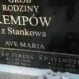 Anna Kempa 1908 – 1991
- Sylwester Kempów 1909 – 1985
- Teresa Kempów 1936 – 2012
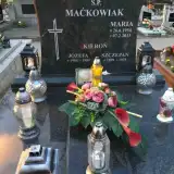 Józefa Kieroń 1904 – 1989
- Szczepan Kieroń 1899 – 1975
 Anna Klaczyńska 1920 – 2005
- Maria Klaczyńska 1917 – 2008
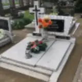 Stanisław Klak 1911 – 1987
- Marta Klaków 1922 – 1981
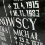 Franciszka Klinowska 1880 – 1958
- Jan Klinowski 1915 – 1983
- Michał Klinowski 1876 – 1957
 Jan Kluperyński 1931 – 1992
 Franciszka Kolańczyk 1861 – 1940
- Michał Kolańczyk 1862 – 1945
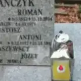 Roman Kolańczyk 1952 – 2014
- Franciszek Komolka 1912 – 1999
- Władysława Komolka 1914 – 1982
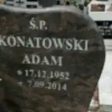 Adam Konatowski 1952 – 2014
 Stefania Konieczna 1929 – 1934
 Olech Konieczny 1935 – 2010
 Cecylia Kordek 1924 – 2015
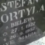 Stefan Kortyla 1927 – 1952
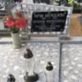 Antonina Kostrzewska 1921 – 2007
- Antoni Kostrzewski 1920 – 1989
Looking for someone who isn't listed? Request a photo.
Nearby cemeteries
The closest other burial grounds listed on EveryStone.
- Bielewo Parish Cemetery 2.0 km away · Bielewo · 20 records
- Krzywiń St. Nicholas Parish Cemetery 5.1 km away · Krzywiń · 149 records
- Jerka St. Casimir Parish Cemetery 5.2 km away · Jerka · 70 records
- Łuszkowo Cemetery 5.4 km away · Łuszkowo · 29 records
- Dalewo St. Adalbert Parish Cemetery 6.8 km away · Dalewo · 51 records
- Mórka Blessed Virgin Mary Parish Cemetery 6.8 km away · Mórka · 53 records
- Siemowo Parish Cemetery 7.3 km away · Siemowo · 46 records
- Stary Gostyń St. Martin Roman Catholic Parish Cemetery 7.8 km away · Stary Gostyń · 66 records
- Czerwona Wieś Cemetery 7.9 km away · Czerwona Wieś · 66 records
- Rąbiń Parish Cemetery 8.2 km away · Rąbiń · 29 records
Contribute with the app
Our website works smoothly on both desktop and mobile devices. Prefer a native app? Check it out below.
- Capture clear headstone photos
- Save GPS grave locations automatically
- Transcribe inscriptions with our AI
- Suggest corrections to existing records
Common questions
How big is Lubiń Parish Cemetery?
Lubiń Parish Cemetery covers about 16,000 m² (4.1 acres), about the size of 2 soccer fields. It is the 173rd largest of the 1,233 cemeteries we list in Greater Poland Voivodeship.
What is the oldest grave in this cemetery?
The oldest grave among the records we hold for Lubiń Parish Cemetery is that of Stanislawa Pawlik, who died in 1928 at the age of 14.