
63
documented records
≈ 84–170
approx. capacity (graves)
4,190 m²
cemetery area
Nov 5, 2026
last modified
About this cemetery
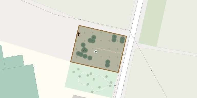
According to the village's local history, a new cemetery in Klenovice na Hané was founded in 1947 on a plot beside the road towards Ivaň.
Cemetery location
GPS coordinates: 49.407001° N, 17.209499° E Directions in Google Maps (opens in a new tab)
Memorials
Showing the first 50 of 63, A–Z by surname. Search all records
 František Arnošt 1906 – 1989
- Karel Arnošt 1963 – 2010
- Hedvika Arnoštová 1911 – 1990
 Jan Beneš 1909 – 1961
- Božena Benešová 1909 – 1989
 Zdenka Dvořáková 1912 – 1942
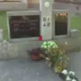 Ludmila Flaviznová 1888 – 1957
 Antonín Gefing 1862 – 1941
- Cyril Gefing 1903 – 1974
- Cecilie Gefingová 1872 – 1947
- Marie Gefingová 1902 – 1995
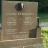 František Hrabálek 1931 – 1986
- František Hrabálek 1890 – 1952
- Františka Hrabálková 1905 – 1985
- Vlasta Hrabálková 1928 – 1983
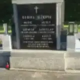 Adolf Ježek 1911 – 1959
- Adolf Ježek 1882 – 1947
- Jaroslav Ježek 1913 – 1991
- Jarmila Ježková 1924 – 2002
- Ludmila Ježková 1914 – 1986
- Marie Ježková 1887 – 1948
- František Masařík 1900 – 1949
- Vladimír Masařík 1929 – 1993
- Emilie Masaříková 1894 – 1970
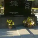 Františka Merdová 1899 – 1930
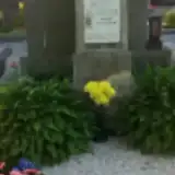 Břetislav Novák ? – 1988
- František Novák 1943 – 2004
- Marie Nováková 1909 – 1983
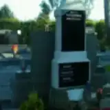 Adolfie Novotná 1874 – 1943
- Josef Novotný 1872 – 1933
- Karel Novotný 1909 – 1983
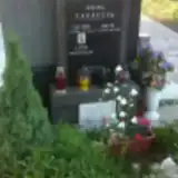 Antonín Parák 1906 – 1946
- Evžen Parák 1938 – 2010
 Josef Parák 1914 – 1972
- Ludmila Paráková 1922 – 2012
- Marta Paráková 1911 – 1985
 Františka Pavelková 1880 – 1949
- Jaroslav Pleva 1918 – 1944
- Josef Pleva 1872 – 1924
- Josef Pospíšil 1896 – 1962
- Marie Pospíšilová 1898 – 1988
 Josef Prechechtel 1892 – 1937
- Netodej Prechechtel 1864 – 1929
- Anežka Prechechtelová 1898 – 1978
- Marie Prechechtelová 1868 – 1951
- Josefka Procházková 1889 – 1955
- Bedřich Punčochář 1894 – 1945
- Rudolf Punčochář 1891 – 1955
- Růžena Punčochářová 1891 – 1961
- František Říha 1872 – 1943
Looking for someone who isn't listed? Request a photo.
Nearby cemeteries
The closest other burial grounds listed on EveryStone.
- Obědkovice Cemetery 1.4 km away · Obědkovice
- Čelčice Cemetery 1.5 km away · Čelčice · 83 records
- Tvorovice Cemetery 2.9 km away · Tvorovice
- Skalka Cemetery near Prostějov 3.0 km away · Skalka · 10 records
- Pivín Cemetery 3.4 km away · Pivín · 81 records
- Čehovice Cemetery 3.9 km away · Čehovice · 68 records
- Ivaň Cemetery 4.0 km away · Ivaň
- Polkovice Cemetery 4.3 km away · Polkovice · 93 records
- Oplocany Cemetery 4.4 km away · Oplocany
- Vřesovice Cemetery 4.9 km away · Vřesovice · 76 records
Contribute with the app
Our website works smoothly on both desktop and mobile devices. Prefer a native app? Check it out below.
- Capture clear headstone photos
- Save GPS grave locations automatically
- Transcribe inscriptions with our AI
- Suggest corrections to existing records
Common questions
How big is Klenovice na Hané Cemetery?
Klenovice na Hané Cemetery covers about 4,190 m² (1 acre), about half the size of a soccer field. It is the 135th largest of the 413 cemeteries we list in Olomouc Region.
What is the oldest grave in this cemetery?
The oldest grave among the records we hold for Klenovice na Hané Cemetery is that of Aloisie Vránová, who died in 1913 at the age of 37.