
Cemetery #2221
Prypiat Municipal Cemetery (Chornobyl Exclusion Zone)
Local name: Міське кладовище Прип'яті (Чорнобильська зона відчуження)
Also known as Miske kladovyshche Prypiati (Chornobylska zona vidchuzhennia)
1
documented record
≈ 140–270
approx. capacity (graves)
6,840 m²
cemetery area
Oct 8, 2026
last modified
About this cemetery
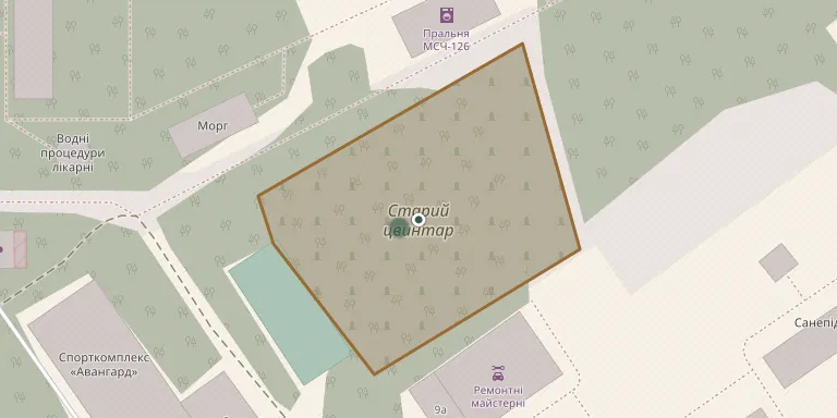
Prypiat Municipal Cemetery (Chornobyl Exclusion Zone) lies in Pripyat, Kyiv Oblast, Ukraine.
Cemetery location
GPS coordinates: 51.405180° N, 30.068062° E Directions in Google Maps (opens in a new tab)
Memorials
1 memorial, A–Z by surname.
Looking for someone who isn't listed? Request a photo.
Nearby cemeteries
The closest other burial grounds listed on EveryStone.
- Pidlisne Village Cemetery 1.5 km away · Prypiat
- Novoshepelytske Cemetery 4.4 km away · Novi Shepelychi
- Chystohalivske East Cemetery 5.7 km away · Chystohalivka
- Nahirtsi Village Cemetery 5.9 km away · Nahirtsi
- Kopachivske Cemetery 6.2 km away · Kopachi
- Chystohalivske West Cemetery 6.3 km away · Chystohalivka
- Krasnianske Cemetery 6.6 km away · Krasne
- Benivske Cemetery 7.9 km away · Benivka
- Zymovyshchenske Cemetery 8.3 km away · Zymovyshche
- Staroshepelytske Cemetery 8.7 km away · Stari Shepelychi
Contribute with the app
Our website works smoothly on both desktop and mobile devices. Prefer a native app? Check it out below.
- Capture clear headstone photos
- Save GPS grave locations automatically
- Transcribe inscriptions with our AI
- Suggest corrections to existing records
Common questions
How big is Prypiat Municipal Cemetery (Chornobyl Exclusion Zone)?
Prypiat Municipal Cemetery (Chornobyl Exclusion Zone) covers about 6,840 m² (1.7 acres), about the size of a soccer field. It is the 89th smallest of the 592 cemeteries we list in Kyiv Oblast.
What is the oldest grave in this cemetery?
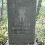
The oldest grave among the records we hold for Prypiat Municipal Cemetery (Chornobyl Exclusion Zone) is that of Nikolay Yurevich Anzyuleev, who died on July 21, 1981 at the age of 19.