
Cemetery #22286
St. Michael's Churchyard
Also known as Playden (Saint Michael) Churchyard · St Michaels Church, Playden
16
documented records
≈ 120–240
approx. capacity (graves)
5,920 m²
cemetery area
Nov 5, 2026
last modified
About this cemetery
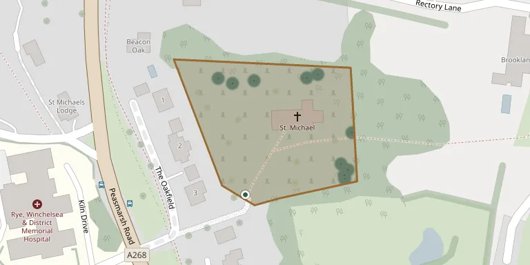
This is the churchyard of St Michael's Church, Playden, near Rye in East Sussex. The Grade I listed church is mentioned in the Domesday Survey and sits near the summit of a plateau. The present building dates from about 1190, the end of the Norman period, and its spire is a landmark across the Romney Marshes.
Cemetery location
GPS coordinates: 50.962120° N, 0.732700° E Directions in Google Maps (opens in a new tab)
Memorials
16 memorials, A–Z by surname.
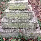 Mary Brodrick 1867 – 1926
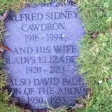 Alfred Cawdron 1916 – 1994
- David Cawdron 1950 – 1953
- Gladys Cawdron 1920 – 2013
 Louisa Cooper ? – 1940
- Thomas Cooper 1850 – 1899
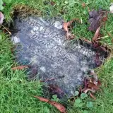 Elizabeth Mathew 1939 – 1991
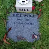 Bill Paige 1937 – 2011
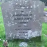 Gladys Penny 1912 – 2003
- Arthur Plummer 1912 – 1985
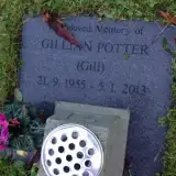 Gillian Potter 1955 – 2013
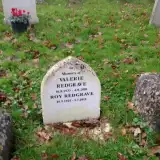 Roy Redgrave 1925 – 2011
- Valerie Redgrave 1933 – 2010
 Ethel Shaw 1873 – 1943
- Harold Shaw 1881 – 1960
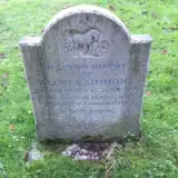 Gloria Summons 1926 – 2001
Looking for someone who isn't listed? Request a photo.
Nearby cemeteries
The closest other burial grounds listed on EveryStone.
- Rye Cemetery 490 m away · Rye · 66 records
- St Mary the Virgin Churchyard 1.3 km away · Rye
- East Guldeford (Saint Mary) Churchyard 1.7 km away · East Guldeford
- Iden (All Saints) Churchyard 2.2 km away · Iden · 4 records
- Holy Spirit Churchyard 3.1 km away · Rye Harbour
- Saint Peter & Saint Paul Church Churchyard 3.3 km away · Peasmarsh · 1 record
- Winchelsea (Saint Thomas) Churchyard 4.5 km away · Winchelsea · 7 records
- St John the Baptist Church, Wittersham 5.8 km away · Wittersham · 2 records
- Wittersham Cemetery 5.9 km away · Wittersham
- St. Mary The Virgin Churchyard 6.1 km away · Ashford · 20 records
Contribute with the app
Our website works smoothly on both desktop and mobile devices. Prefer a native app? Check it out below.
- Capture clear headstone photos
- Save GPS grave locations automatically
- Transcribe inscriptions with our AI
- Suggest corrections to existing records
Common questions
How big is St. Michael's Churchyard?
St. Michael's Churchyard covers about 5,920 m² (1.5 acres), about the size of a soccer field. It is the 46th largest of the 121 cemeteries we list in East Sussex.
What is the oldest grave in this cemetery?
The oldest grave among the records we hold for St. Michael's Churchyard is that of Thomas Cooper, who died on July 29, 1899 at the age of 49.