
Cemetery #22290
Belper Cemetery
88
documented records
≈ 1,500–3,000
approx. capacity (graves)
0.076 km²
cemetery area
Nov 5, 2026
last modified
About this cemetery
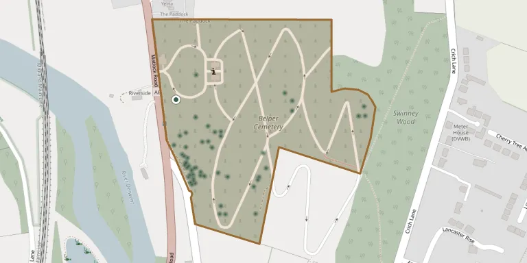
Belper Cemetery was opened in 1859 by the Belper Burial Board, formed in 1857, and occupies about 6 hectares. It lies within the Derwent Valley Mills World Heritage Site. Belper Urban District Council acquired it in 1895, and it was extended later in the 19th century. Burial ground was originally designated as first, second and third class.
Cemetery location
GPS coordinates: 53.037060° N, 1.479393° W Directions in Google Maps (opens in a new tab)
Memorials
Showing the first 50 of 88, A–Z by surname. Search all records
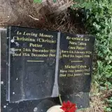 Michael Cohen 1923 – 2000
- Nora Cohen 1924 – 1998
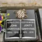 John Griffiths 1945 – 2015
- Jonty Griffiths 1975 – 2016
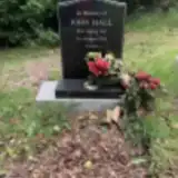 John Hall 1947 – 2014
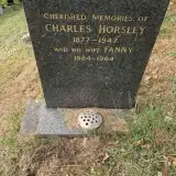 Charles Horsley 1877 – 1947
- Fanny Horsley 1884 – 1964
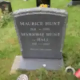 Marjorie Hunt 1918 – 2002
- Maurice Hunt 1919 – 1995
 Glenda Marshall 1949 – 2009
 Lydia Milward 1875 – 1964
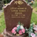 Linda Owens 1953 – 2016
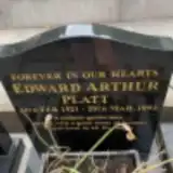 Edward Platt 1921 – 1992
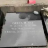 Greta Platt 1931 – 2010
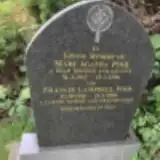 Francis Pool 1916 – 1996
- Mary Pool 1917 – 1996
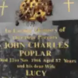 John Poplar ? – 1966
- Lucy Poplar 1920 – 2009
 Dora Porter 1894 – 1971
- William Porter ? – 1951
- Christina Potter 1921 – 1940
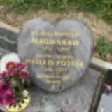 Phyllis Potter 1936 – 2017
 Abigail Poulton 1961 – 2010
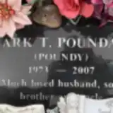 Mark Poundall 1973 – 2007
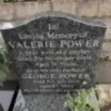 George Power 1928 – 2015
- Valerie Power 1932 – 2006
 Edith Pudney 1892 – 1989
 James Pym 1834 – 1906
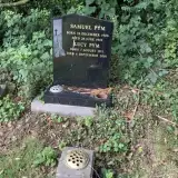 Lucy Pym 1911 – 2001
- Samuel Pym 1906 – 1979
 Sarah Pym 1914 – 1914
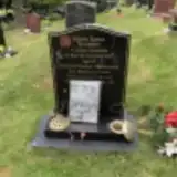 Steven Quarmby 1946 – 2013
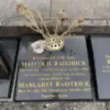 Malcolm Raistrick 1940 – 2011
- Margaret Raistrick 1942 – 2015
 Annie Ratcliffe 1876 – 1963
- Charles Ratcliffe 1868 – 1944
 Ivor Ratcliffe 1921 – 2003
 Peter Ratcliffe 1941 – 2018
 John Raynes 1930 – 2017
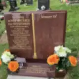 Janet Record 1947 – 2018
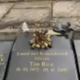 Tim Rice 1977 – 2005
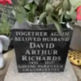 David Richards 1932 – 1990
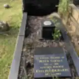 Eveline Richards 1912 – 2004
 Greta Richardson 1945 – 2017
 Elizabeth Riley 1835 – 1920
- Joseph Riley ? – 1900
 Patricia Roadhouse 1942 – 2015
 Beatrice Robinson 1917 – 2010
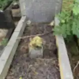 William Robinson 1912 – 1944
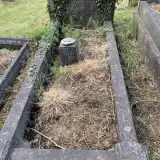 Aileen Roome 1916 – 1952
Looking for someone who isn't listed? Request a photo.
Nearby cemeteries
The closest other burial grounds listed on EveryStone.
- St. Peter's Churchyard 1.3 km away · Belper · 4 records
- Belper Cemetery 1.5 km away · Belper
- St. Luke's Churchyard 2.5 km away · Heage · 4 records
- St. John the Evangelist Churchyard 3.6 km away · Hazelwood
- Holbrook Saint Michael 4.6 km away · Holbrook
- Duffield Cemetery 5.0 km away · Duffield · 2 records
- Alderwasley Cemetery 5.1 km away · Alderwasley
- Ripley Cemetery 5.1 km away · Ripley · 42 records
- St. Margaret's Chapel 5.1 km away · Alderwasley
- Horsley (Saint Clement) Churchyard 5.2 km away · Horsley · 4 records
Contribute with the app
Our website works smoothly on both desktop and mobile devices. Prefer a native app? Check it out below.
- Capture clear headstone photos
- Save GPS grave locations automatically
- Transcribe inscriptions with our AI
- Suggest corrections to existing records
Common questions
How big is Belper Cemetery?
Belper Cemetery covers about 76,000 m² (19 acres), about the size of 11 soccer fields. It is the 4th largest of the 319 cemeteries we list in Derbyshire.
What is the oldest grave in this cemetery?
The oldest grave among the records we hold for Belper Cemetery is that of Joseph Riley, who died on May 5, 1900.