
25
documented records
≈ 110–230
approx. capacity (graves)
5,750 m²
cemetery area
Nov 5, 2026
last modified
About this cemetery
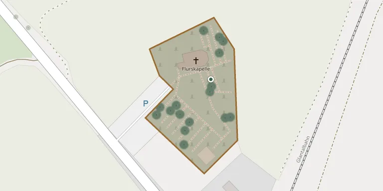
The Flurskapelle of St Florus stands in open fields outside Ulmet, in the middle of a cemetery surrounded by old oaks. The Romanesque chapel, with its tower dated 1091, is one of the oldest churches in the central Glan valley. The cemetery is probably as old as the church, and both were affected during a battle.
Cemetery location
GPS coordinates: 49.591225° N, 7.452758° E Directions in Google Maps (opens in a new tab)
Memorials
25 memorials, A–Z by surname.
 Reinhold Arndt 1921 – 2008
 Eckard Busse 1927 – 1977
- Inge Busse 1932 – 2000
 Inge Cartarius 1945 – 2016
 Lieselotte Deumm 1926 – 2007
- Karl Drumm 1924 – 2002
 Frieda Graf 1913 – 2002
 Heinz Graf 1932 – 2002
- Walter Graf 1918 – 1991
 Eugen Hofmann 1933 – 2006
 Adam Jackel 1899 – 1978
- Dora Jagel 1922 – 2010
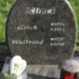 Erich Klinck 1934 – 2011
- Waltraud Klinck 1937 – 2018
 Elfriede Krauth 1957 – 2017
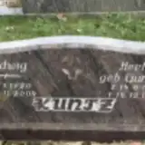 Ludwig Kuntz 1920 – 2004
- Herta Kunz 1912 – 1989
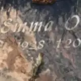 Emma Ott 1928 – 2017
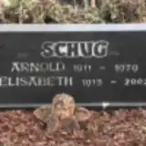 Arnold Schug 1911 – 1979
- Elisabeth Schug 1915 – 2002
- Amalia Stahl 1923 – 2013
 Martin Wittal 1935 – 2019
 Herbert Zimmer 1937 – 2006
 Elisabethe Zimmermann 1920 – 2012
- Günter Zimmermann ? – 2000
Looking for someone who isn't listed? Request a photo.
Nearby cemeteries
The closest other burial grounds listed on EveryStone.
- Erdesbach Cemetery 1.5 km away · Ulmet · 17 records
- Niederalben Cemetery 2.2 km away · Niederalben
- Bedesbach Cemetery 2.6 km away · Bedesbach
- Bedesbach Cemetery 2.7 km away · Bedesbach
- Ehrenhain Erzweiler Cemetery 2.7 km away · Baumholder
- Eschenau Cemetery 3.0 km away · Eschenau
- Mayweilerhof Cemetery 3.7 km away · Oberalben
- Oberalben Cemetery 3.8 km away · Oberalben
- Welchweiler Cemetery 3.9 km away · Welchweiler
- Altenglan Cemetery 4.2 km away · Altenglan
Contribute with the app
Our website works smoothly on both desktop and mobile devices. Prefer a native app? Check it out below.
- Capture clear headstone photos
- Save GPS grave locations automatically
- Transcribe inscriptions with our AI
- Suggest corrections to existing records
Common questions
How big is Ulmet Flurskapelle?
Ulmet Flurskapelle covers about 5,750 m² (1.4 acres), about the size of a soccer field. It is the 838th largest of the 3,001 cemeteries we list in Rhineland-Palatinate.
What is the oldest grave in this cemetery?
The oldest grave among the records we hold for Ulmet Flurskapelle is that of Eckard Busse, who died in 1977 at the age of 50.