
Cemetery #226693
Confederate Cemetery, Marietta
Also known as Marietta Confederate Cemetery
0
documented records
≈ 480–970
approx. capacity (graves)
0.024 km²
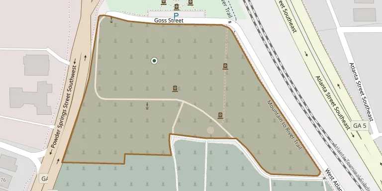
cemetery area · 5.98 acres
Oct 18, 2026
last modified
About this cemetery
Marietta Confederate Cemetery in Marietta, Georgia, began in 1863 beside the older Marietta City Cemetery, on land once owned by the First Baptist Church of Marietta. It is the final resting place of more than 3,000 soldiers. A 6-pound field cannon once presented to the Georgia Military Institute is among its features, and a foundation works to preserve it.
Cemetery location
GPS: GPS coordinates: 33.946426° N, 84.549633° W Directions in Google Maps (opens in a new tab)
Memorials
No records yet
Photograph a headstone and add it to the archive.
Looking for someone who isn't listed? Request a photo.
Nearby cemeteries
The closest other burial grounds listed on EveryStone.
- Marietta City Cemetery 240 m away · Marietta
- Cole Family Cemetery 800 m away · Marietta
- Marietta National Cemetery 970 m away · Marietta
- Saint James Episcopal Church Cemetery 1.1 km away · Marietta
- Mountain View Park Cemetery 1.7 km away · Marietta
- Crest Hill Cemetery 1.8 km away · Marietta
- Custer Street Cemetery 2.4 km away · Marietta
- Barber Cemetery 3.0 km away · Fair Oaks
- Hangmans Hill Cemetery 3.0 km away · Marietta
- Maloney Springs Cemetery 3.1 km away · Fair Oaks
Contribute with the app
Our website works smoothly on both desktop and mobile devices. Prefer a native app? Check it out below.
- Capture clear headstone photos
- Save GPS grave locations automatically
- Transcribe inscriptions with our AI
- Suggest corrections to existing records
Common questions
How big is Confederate Cemetery, Marietta?
Confederate Cemetery, Marietta covers about 24,000 m² (6 acres), about the size of 5 American football fields. It is the 569th largest of the 10,467 cemeteries we list in Georgia.