
Cemetery #22742
Mill Road Cemetery
Local name: Cimetière de Mill Road
Also known as Mill Road Cemetery, Thiepval
1
documented record
≈ 68–140
approx. capacity (graves)
3,420 m²
cemetery area
Oct 18, 2026
last modified
About this cemetery
Mill Road Cemetery is a Commonwealth war cemetery of the First World War about one kilometre north-west of Thiepval, on the north side of the D73 road to Hamel. It lies on the site of former German trenches, and its 260 original graves are marked by headstones laid flat on the ground. The 36th Division was caught here in crossfire from British artillery and German machine guns. Visitors can read more on ww1cemeteries.com.
Cemetery location
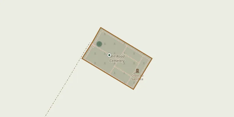
GPS coordinates: 50.061062° N, 2.683537° E Directions in Google Maps (opens in a new tab)
Memorials
1 memorial, A–Z by surname.

Looking for someone who isn't listed? Request a photo.
Nearby cemeteries
The closest other burial grounds listed on EveryStone.
- Connaught Cemetery, Thiepval 330 m away · Thiepval
- Thiepval Communal Cemetery 560 m away · Thiepval
- Saint-Pierre Divion Cemetery 810 m away · Thiepval
- Thiepval Memorial of the Missing of the Somme 1.2 km away · Authuille
- Ancre British Cemetery, Beaumont-Hamel 1.4 km away · Beaumont-Hamel · 1 record
- Grandcourt Road Cemetery 1.5 km away · Grandcourt
- Hamel Military Cemetery, Beaumont-Hamel 1.6 km away · Beaumont-Hamel
- Le Hamel Hamlet Cemetery, Mesnil-Martinsart 1.8 km away · Mesnil-Martinsart
- Stump Road Cemetery 2.0 km away · Grandcourt
- Beaucourt-sur-l'Ancre Communal Cemetery 2.3 km away · Beaucourt-sur-l'Ancre
Contribute with the app
Our website works smoothly on both desktop and mobile devices. Prefer a native app? Check it out below.
- Capture clear headstone photos
- Save GPS grave locations automatically
- Transcribe inscriptions with our AI
- Suggest corrections to existing records
Common questions
How big is Mill Road Cemetery?
Mill Road Cemetery covers about 3,420 m² (0.8 acres), about half the size of a soccer field. It is the 1,894th largest of the 4,957 cemeteries we list in Hauts-de-France.
What is the oldest grave in this cemetery?
The oldest grave among the records we hold for Mill Road Cemetery is that of Charles Moir, who died on October 23, 1916 at the age of 29.