
65
documented records
≈ 150–300
approx. capacity (graves)
7,550 m²
cemetery area
Nov 5, 2026
last modified
About this cemetery
The Cimetière de Saintes is the municipal cemetery of Saintes, a former separate municipality now part of Tubize. It was moved outside the village in the 19th century, and construction of the present cemetery began in 1889. It includes an honour lawn for the dead of 1914-1918.
Cemetery location
GPS coordinates: 50.706211° N, 4.162755° E Directions in Google Maps (opens in a new tab)
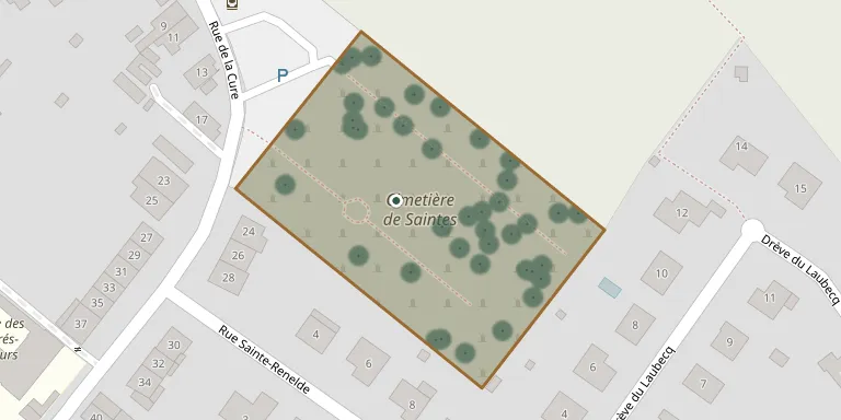
Memorials
Showing the first 50 of 65, A–Z by surname. Search all records
 Jean-Pierre Abraham 1950 – 1993
- Joannes Abraham 1928 – 2006
 Edmond Agneessens 1882 – 1979
 Gilbert Agneessens 1931 – 1981
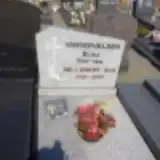 Jean Bellemans 1926 – 2006
- Maria Bogaert 1928 – 2013
 Joséphine Bondieu 1883 – 1942
 Octavie Brison 1901 – 1955
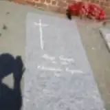 Georges Buys 1923 – 1995
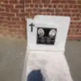 Maurice Callaert 1912 – 1973
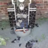 Leonie Carlier 1908 – 1955
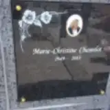 Marie-Christine Chamelot 1949 – 2013
 Pierre Clavie 1915 – 1995
 André Cochez 1929 – 2003
 Leon Colmant 1896 – 1955
 Helene Coppens 1903 – 1984
 Emile Coustry 1884 – 1958
- Lucienne Dannau 1912 – 1997
 Sylvie Dantrou 1927 – 1996
 Alfons De Coster 1899 – 1955
 Nestor De Doncker 1912 – 1988
- Florimond Delwart 1894 – 1956
 Marie Deneys 1891 – 1961
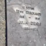 Julia Denys 1888 – 1976
 Virginie De Saint Moulin 1920 – 1999
- Henri Deschamps 1886 – 1949
- Marie Devalckeneer 1897 – 1988
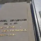 Marcel Devleminck 1921 – 1971
- Marie-José Devleminck 1927 – 2010
 Jean Geldermans 1925 – 2004
- Edgard Laus 1901 – 1981
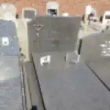 Gabrielle Laus 1897 – 1985
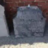 Velere Lebaco 1899 – 1917
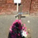 Jules Lepas 1930 – 1998
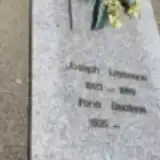 Joseph Leyssens 1923 – 1989
- Jean Lories 1896 – 1987
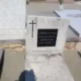 Adolie Marliere 1879 – 1963
- Léon Meeuws 1926 – 1965
- Maria Musch 1910 – 1997
 Eugenie Nano 1900 – 1970
- Joseph Padiat 1898 – 1963
- Marie-Louise Paduwat 1930 – 2001
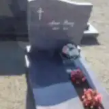 Ana Perez 1931 – 2011
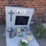 Jean Plasman 1932 – 1985
- Florence Pletingx 1884 – 1959
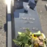 Daniel Richir 1943 – 1992
- Louis Smeets 1885 – 1963
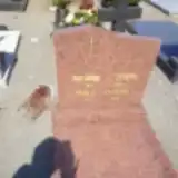 Paula Stevens 1913 – 1984
- Henriette Thibaut 1936 – 1983
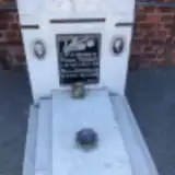 Pierre Thibaut 1903 – 1961
Looking for someone who isn't listed? Request a photo.
Nearby cemeteries
The closest other burial grounds listed on EveryStone.
- Église Saints Pierre et Martin, Bierghes 1.4 km away · Tubize · 15 records
- Wisbecq Cemetery 3.1 km away · Rebecq · 10 records
- Quenast Cemetery 3.2 km away · Quenast
- Tubize Atina Cemetery 3.5 km away · Naarmonts
- Bogaarden Cemetery 3.8 km away · Pepingen · 22 records
- Sint-Augustinus Churchyard, Beert 3.8 km away · Pepingen · 8 records
- Tubize Cemetery 3.9 km away · Nivelles
- Beert Cemetery 4.1 km away · Beert
- Lembeek Cemetery 4.4 km away · Lembeek
- Onze Lieve Vrouwkerk, Bellingen 4.5 km away · Pepingen · 27 records
Contribute with the app
Our website works smoothly on both desktop and mobile devices. Prefer a native app? Check it out below.
- Capture clear headstone photos
- Save GPS grave locations automatically
- Transcribe inscriptions with our AI
- Suggest corrections to existing records
Common questions
How big is Saintes Cemetery?
Saintes Cemetery covers about 7,550 m² (1.9 acres), about the size of a soccer field. It is the 35th largest of the 175 cemeteries we list in Walloon Brabant.
What is the oldest grave in this cemetery?
The oldest grave among the records we hold for Saintes Cemetery is that of Velere Lebaco, who died in 1917 at the age of 18.