
Cemetery #23482
Roduka Cemetery
Local name: Rodukos kapinės
3
documented records
≈ 17–35
approx. capacity (graves)
870 m²
cemetery area
Nov 5, 2026
last modified
About this cemetery
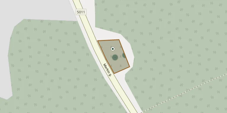
Roduka cemetery serves the village of Roduka, in the western part of Varėna district, in the Dainava forest about 8 km south-east of Merkinė.
Cemetery location
GPS coordinates: 54.113716° N, 24.247589° E Directions in Google Maps (opens in a new tab)
Memorials
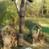
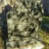
3 memorials, A–Z by surname.
Looking for someone who isn't listed? Request a photo.
Nearby cemeteries
The closest other burial grounds listed on EveryStone.
- Trasninkas Cemetery 1.5 km away · Trasninkas · 9 records
- Lankininkų Cemetery 2.4 km away · Varėnos rajono savivaldybė · 5 records
- Dubininkas Village Cemetery 2.8 km away · Dubininkas
- Noruliai Cemetery 2.9 km away · Noruliai
- Puvočiai Village Cemetery 3.3 km away · Puvočiai
- Puvočių Cemetery 3.6 km away · Varėnos rajono savivaldybė · 5 records
- Bingeliai Cemetery 4.2 km away · Varėnos rajono savivaldybė · 5 records
- Merkinė Old Jewish Cemetery 6.3 km away · Merkinė
- First World War Soldiers' Cemetery 6.8 km away · Varėna District Municipality
- Mardasavas Village Cemetery 7.0 km away · Mardasavas
Contribute with the app
Our website works smoothly on both desktop and mobile devices. Prefer a native app? Check it out below.
- Capture clear headstone photos
- Save GPS grave locations automatically
- Transcribe inscriptions with our AI
- Suggest corrections to existing records
Common questions
How big is Roduka Cemetery?
Roduka Cemetery covers about 870 m² (0.2 acres), about the size of 3 tennis courts. It is the 13th smallest of the 280 cemeteries we list in Alytus County.
What is the oldest grave in this cemetery?
The oldest grave among the records we hold for Roduka Cemetery is that of Bronė Tveígyté, who died in 1949 at the age of 14.