
Cemetery #235914
Potter's Field
0
documented records
≈ 220–440
approx. capacity (graves)
0.011 km²
cemetery area · 2.69 acres
Oct 18, 2026
last modified
About this cemetery
Potter's Field in North Omaha, Nebraska, was established as a county cemetery by Douglas County in 1887. It served as the burial site for the city's poor, prisoners and unidentified people. Over the next seventy years almost 4,000 burials were made, but there were few markers. Today a meditation garden has plaques listing the names of some of those buried there.
Cemetery location
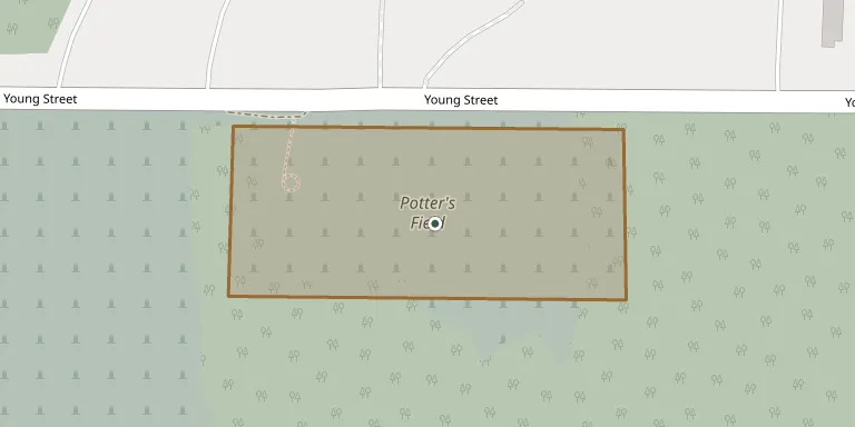
GPS coordinates: 41.331713° N, 95.989552° W Directions in Google Maps (opens in a new tab)
Memorials
No records yet
Photograph a headstone and add it to the archive.
Looking for someone who isn't listed? Request a photo.
Nearby cemeteries
The closest other burial grounds listed on EveryStone.
- Forest Lawn Memorial Park 590 m away · Omaha
- Pleasant Hill Cemetery 1.8 km away · Omaha
- Mormon Pioneer Cemetery, Omaha 2.0 km away · Omaha
- Springwell Cemetery 2.9 km away · Omaha
- Golden Hill Jewish Cemetery 3.2 km away · Omaha
- Golden Hill Cemetery 3.2 km away · Omaha
- Mount Sinai Cemetery 4.1 km away · Omaha
- Servants of Mary Cemetery 4.5 km away · Omaha
- Mount Hope Cemetery 4.6 km away · Omaha
- Prospect Hill Cemetery 6.4 km away · Omaha
Contribute with the app
Our website works smoothly on both desktop and mobile devices. Prefer a native app? Check it out below.
- Capture clear headstone photos
- Save GPS grave locations automatically
- Transcribe inscriptions with our AI
- Suggest corrections to existing records
Common questions
How big is Potter's Field?
Potter's Field covers about 11,000 m² (2.7 acres), about the size of 2 American football fields. It is the 702nd largest of the 1,553 cemeteries we list in Nebraska.