
74
documented records
≈ 1,200–2,500
approx. capacity (graves)
0.062 km²
cemetery area
Nov 5, 2026
last modified
About this cemetery
The Donatsfriedhof in Freiberg, Saxony, was laid out in the early 16th century outside the town wall as a plague cemetery and has been used only occasionally since 1987. It is oval, measuring 125 by 150 metres, with a large gatehouse at the western entrance. It belonged to the church of St. Donati, first mentioned in 1225, and is part of the Erzgebirge/Krušnohoří mining region heritage. Visitors can ring +49 3731 35310 or check freiberg.de.
Cemetery location
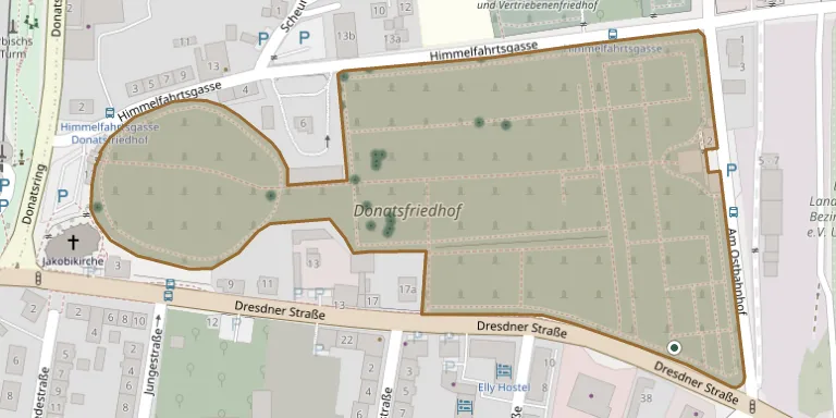
GPS coordinates: 50.916721° N, 13.356440° E Directions in Google Maps (opens in a new tab)
Memorials
Showing the first 50 of 74, A–Z by surname. Search all records
 Fritz Artus 1909 – 1945
 Gabriele Behrens 1953 – 2019
 Anton Bohmann 1897 – 1977
- Marga Bohmann 1893 – 1975
 Carl Bresch 1882 – 1964
- Karoline Bresch 1855 – 1936
- Richard Bresch ? – 1925
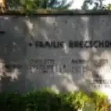 Charlotte Bretschneider 1908 – 1994
- Hilde Bretschneider 1940 – 2019
- Horst Bretschneider 1905 – 1968
- Mark Bretschneider 1967 – 1972
- Syrena Bretschneider 1967 – 2011
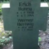 Erich Buhrig 1908 – 1944
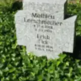 Erich Flick 1904 – 1945
 Marie Fritzsche 1842 – 1867
- Amalie Gerlach 1801 – 1832
- Eduard Gerlach 1798 – 1831
- Friederike Gerlach 1803 – 1846
- Friedrich Gerlach 1793 – 1847
- Guido Gerlach 1860 – 1880
- Heinrich Gerlach 1828 – 1899
- Johann Gerlach 1756 – 1820
- Johanna Gerlach 1752 – 1828
- Marie Gerlach 1835 – 1911
 Otto Grube 1913 – 1944
- Brigitte Gumpert 1931 – 1988
- Fritz Gumpert 1893 – 1975
- Johanna Gumpert 1901 – 2001
- Rainer Gumpert 1927 – 2002
 Maria Heinig 1896 – 1933
- Werner Hertwig 1921 – 1944
- Siegfried Hesse 1911 – 1945
- Charlotte Hubricht 1880 – 1918
- Curt Hubricht 1879 – 1965
- Emmy Hubricht 1905 – 1974
- Heinrich Hubricht 1904 – 1958
 Karl Jahn 1864 – 1881
- Robert Jahn 1837 – 1872
- Willy Jahn 1890 – 1891
- Werner Kaden 1920 – 1944
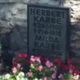 Herbert Karbe 1905 – 1978
- Milda Karbe 1906 – 1985
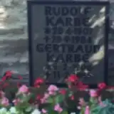 Rudolf Karbe 1907 – 1984
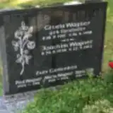 Doris Kirk 1941 – 1959
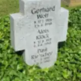 Alois Klöck 1921 – 1945
- Karl Köhler 1815 – 1852
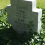 Karl Kühnstedt 1908 – 1945
- Mathieu Lerschmacher 1908 – 1945
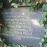 Helene Michel 1885 – 1945
- Kurt Michel 1892 – 1918
Looking for someone who isn't listed? Request a photo.
Nearby cemeteries
The closest other burial grounds listed on EveryStone.
- Freiberg Expellees' Cemetery 270 m away · Freiberg
- Freiberg Soviet Cemetery of Honour 270 m away · Freiberg
- Freiberg Central Cemetery 790 m away · Freiberg
- Gruener Cemetery 980 m away · Freiberg
- Hilbersdorf Cemetery 2.6 km away · Hilbersdorf
- Zug Cemetery 3.7 km away · Oberzug
- Kleinwaltersdorf Cemetery 4.0 km away · Kleinwaltersdorf
- Conradsdorf Cemetery 4.2 km away · Conradsdorf
- Kleinschirma Cemetery 5.0 km away · Kleinschirma
- Niederbobritzsch Cemetery 5.9 km away · Bobritzsch-Hilbersdorf
Contribute with the app
Our website works smoothly on both desktop and mobile devices. Prefer a native app? Check it out below.
- Capture clear headstone photos
- Save GPS grave locations automatically
- Transcribe inscriptions with our AI
- Suggest corrections to existing records
Common questions
How big is St. Donat Cemetery, Freiberg?
St. Donat Cemetery, Freiberg covers about 62,000 m² (15 acres), about the size of 9 soccer fields. It is the 44th largest of the 1,500 cemeteries we list in Saxony.
What is the oldest grave in this cemetery?
The oldest grave among the records we hold for St. Donat Cemetery, Freiberg is that of Johann Christoph Friedrich Gerlach, who died on September 24, 1820 at the age of 63.