
Cemetery #24190
Tank Cemetery, Guemappe
Also known as Tank Cemetery (CWGC) · Tank Cemetery
0
documented records
≈ 17–33
approx. capacity (graves)
830 m²
cemetery area
Oct 18, 2026
last modified
About this cemetery
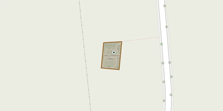
Tank Cemetery is a British military cemetery in Guémappe, about 700 metres north-west of the village near the road from Monchy to Wancourt, at the place called Au Riot. It covers 936 square metres and holds 219 burials and commemorations of the First World War, 25 of them unidentified. Further details are available from ww1cemeteries.com.
Cemetery location
GPS coordinates: 50.256794° N, 2.879759° E Directions in Google Maps (opens in a new tab)
Memorials
No records yet
Photograph a headstone and add it to the archive.
Looking for someone who isn't listed? Request a photo.
Nearby cemeteries
The closest other burial grounds listed on EveryStone.
- Guemappe British Cemetery 550 m away · Guémappe
- Windmill British Cemetery 720 m away · Monchy-le-Preux
- Guémappe Cemetery 980 m away · Guémappe
- Wancourt British Cemetery 1.3 km away · Wancourt
- Monchy-le-Preux Cemetery 1.4 km away · Monchy-le-Preux
- Hibers Trench British Cemetery 1.8 km away · Wancourt
- Monchy British Cemetery 1.8 km away · Monchy-le-Preux
- Wancourt Communal Cemetery 1.8 km away · Wancourt
- Héninel Cemetery 2.1 km away · Héninel · 8 records
- Heninel Communal Cemetery Extension 2.1 km away · Héninel
Contribute with the app
Our website works smoothly on both desktop and mobile devices. Prefer a native app? Check it out below.
- Capture clear headstone photos
- Save GPS grave locations automatically
- Transcribe inscriptions with our AI
- Suggest corrections to existing records
Common questions
How big is Tank Cemetery, Guemappe?
Tank Cemetery, Guemappe covers about 830 m² (0.2 acres), about the size of 3 tennis courts. It is the 505th smallest of the 4,957 cemeteries we list in Hauts-de-France.