
62
documented records
≈ 62–93
approx. capacity (graves)
1,860 m²
cemetery area
Nov 5, 2026
last modified
About this cemetery
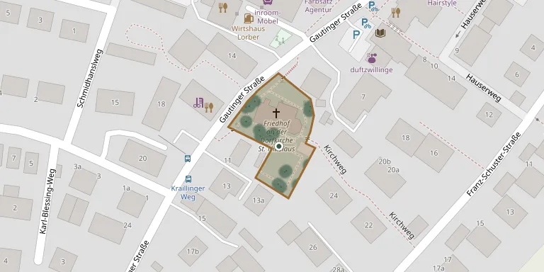
This small cemetery is laid out around the Catholic church of St. Nikolaus in Neuried, on Gautinger Straße, which dates from the 12th century. The old village church is a landmark of the village.
Cemetery location
GPS coordinates: 48.091824° N, 11.464087° E Directions in Google Maps (opens in a new tab)
Memorials
Showing the first 50 of 62, A–Z by surname. Search all records
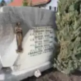 Charlotte Andreas 1929 – 2014
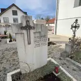 Hans Bauer 1938 – 2016
- Karl Bauer 1898 – 1976
- Ursula Bauer 1907 – 1996
- Barbara Doll 1867 – 1953
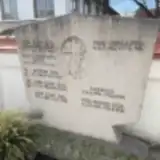 Bettina Doll 1968 – 2015
- Gabriele Doll 1954 – 1955
- Jakob Doll 1899 – 1978
- Jakob Doll 1931 – 2014
- Johann Doll 1932 – 2012
- Johann Doll 1858 – 1947
- Josef Doll 1857 – 1938
- Josef Doll 1901 – 1951
- Josef Doll 1925 – 1945
- Rosa Doll 1903 – 1982
- Rosina Doll 1864 – 1938
- Ursula Doll 1902 – 1983
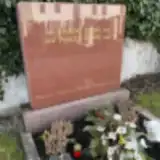 Maria Frank 1893 – 1975
- Michael Frank 1919 – 1993
- Michael Frank 1897 – 1969
- Pauline Frank 1924 – 2016
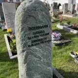 Anneliese Herrmann 1940 – 2022
- Thomas Herrmann 1962 – 2017
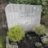 Fritz Hessenberger 1903 – 1965
- Rosa Hessenberger 1916 – 2010
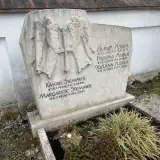 Johann Huber 1929 – 2010
- Pauline Huber 1929 – 1997
- Ulrich Huber 1955 – 1971
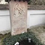 Joseph Kaiser 1872 – 1965
- Therese Kaiser 1879 – 1957
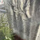 Franz Kraus 1875 – 1945
- Franz Kraus 1908 – 1941
- Maria Kraus 1883 – 1939
- Therese Kraus 1914 – 1994
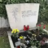 Apollonia Krebs 1931 – 2017
- Kurt Krebs 1927 – 1983
 Franziska Lechner ? – 1972
- Gertrud Lechner 1923 – 2021
- Hugo Lechner 1891 – 1947
- Hugo Lechner 1923 – 1995
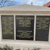 Agnes Lorber 1838 – 1919
- Anna Lorber 1908 – 1975
- Anton Lorber 1876 – 1951
- Anton Lorber 1902 – 1979
- Josef Lorber 1832 – 1909
- Maria Lorber 1873 – 1953
- Maria Lorber 1863 – 1904
 Elisabeth Mayer 1897 – 1978
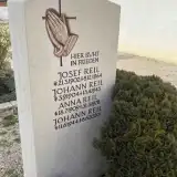 Anna Reil 1909 – 1978
- Johann Reil 1944 – 2020
Looking for someone who isn't listed? Request a photo.
Nearby cemeteries
The closest other burial grounds listed on EveryStone.
- Neuried New Cemetery 660 m away · Neuried
- Tischlerstraße Cemetery War Graves, Munich 1.3 km away · München · 101 records
- Neuried New Jewish Cemetery 1.5 km away · Neuried
- St. Martin Churchyard, Martinsried 1.9 km away · Planegg
- Munich Woodland Cemetery - New Section 1.9 km away · München
- Munich Italian Military Cemetery 1.9 km away · München · 1 record
- Munich Woodland Cemetery 2.3 km away · München · 114 records
- Holy Cross Cemetery, Forstenried 2.3 km away · Forstenried
- Planegg Cemetery 2.6 km away · Planegg
- Grosshadern Cemetery 2.7 km away · Munich · 79 records
Contribute with the app
Our website works smoothly on both desktop and mobile devices. Prefer a native app? Check it out below.
- Capture clear headstone photos
- Save GPS grave locations automatically
- Transcribe inscriptions with our AI
- Suggest corrections to existing records
Common questions
How big is Neuried Churchyard?
Neuried Churchyard covers about 1,860 m² (0.5 acres), about the size of 7 tennis courts. It is the 1,792nd smallest of the 5,401 cemeteries we list in Bavaria.
What is the oldest grave in this cemetery?
The oldest grave among the records we hold for Neuried Churchyard is that of Maria Lorber, who died on September 12, 1904 at the age of 40.