
267
documented records
≈ 520–1,000
approx. capacity (graves)
0.026 km²
cemetery area
Nov 6, 2026
last modified
About this cemetery
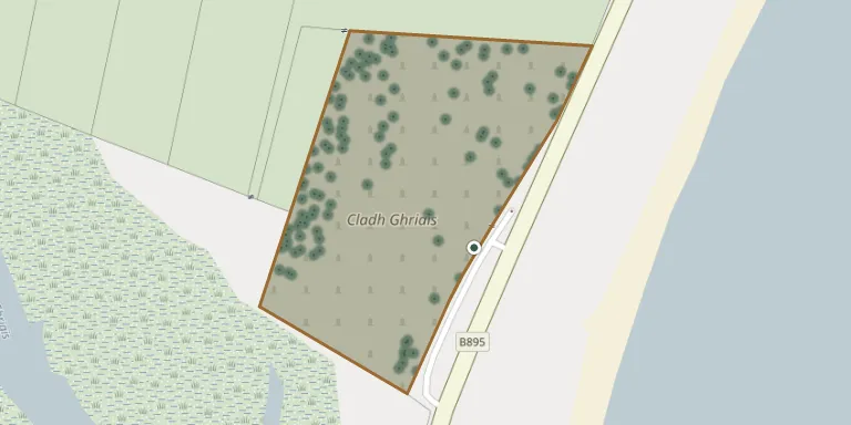
Griais (Gress in English) Old Churchyard lies beside the B895 road linking Stornoway with North Tolsta on the east coast of Lewis. The older part, nearest the road, contains a ruined church, while newer graves lie further back. It includes First World War and other war graves recorded by the Commonwealth War Graves Commission.
Cemetery location
GPS coordinates: 58.290924° N, 6.282991° W Directions in Google Maps (opens in a new tab)
Memorials
Showing the first 50 of 267, A–Z by surname. Search all records
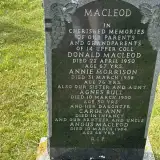 MacLeod Angus ? – 1984
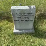 Catherine Auchincloss 1909 – 1986
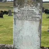 George Beaton ? – 1912
- Mary Beaton 1854 – 1929
- Agnes Bull ? – 1950
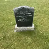 Catherine Burnside 1900 – 1964
- Robert Burnside 1923 – 1987
 Alexina Campbell ? – 2009
 Catherine Campbell 1916 – 1978
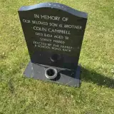 Colin Campbell 1979 – 2011
- Dolina Campbell ? – 1872
 Christine Christie ? – 2000
 Dolina Cumming 1909 – 1993
- D.W. Cumming ? – 2018
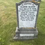 Marion Davidson 1863 – 1950
- Smith Davidson ? – 1958
 Catherine Ferguson ? – 1852
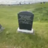 Christina Ferguson ? – 1996
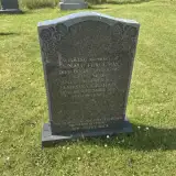 Donald Ferguson 1908 – 1987
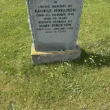 George Ferguson ? – 1988
- Mary Ferguson 1905 – 1995
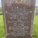 Isabella Finlayson ? – 1968
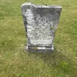 Margaret Finlayson 1921 – 1998
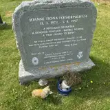 Joanne Fotheringham 1973 – 1997
- Dolina Graham ? – 1993
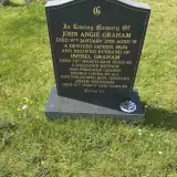 Ishbel Graham ? – 2019
- Jamesina Graham ? – 2012
- John Graham ? – 2008
- John Graham 1965 – 2020
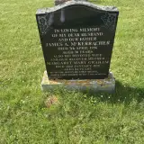 Margaret Graham ? – 2010
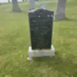 Mary Graham ? – 1964
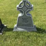 Murdo Graham 1957 – 2007
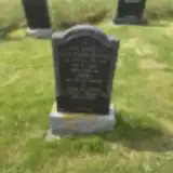 Robert Gribbon ? – 1990
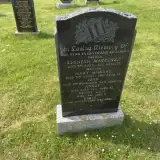 Dan Kenny ? – 1926
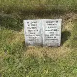 Annie MacAskill ? – 1985
 Norman Macaulay 1915 – 1975
 Alexander Macdonald 1924 – 2001
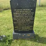 Donald Macdonald ? – 2001
- Malcolm Macdonald 1938 – 1987
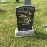 Margaret Macdonald 1934 – 2021
 Allan MacDonald ? – 1960
- John MacDonald ? – 1974
- Norman MacDonald ? – 1971
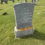 Alexander Macgregor ? – 1908
- Kenneth Macgregor 1873 – 1929
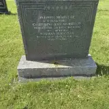 Catherine Macinnes 1927 – 1995
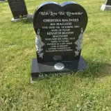 Christina Macinnes 1946 – 1984
- Kenneth MacInnes ? – 2018
- Norman MacInnes ? – 1996
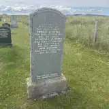 Catherine Maciver 1880 – 1954
Looking for someone who isn't listed? Request a photo.
Nearby cemeteries
The closest other burial grounds listed on EveryStone.
- North Tolsta Cemetery 8.3 km away · North Tolsta
- St Columba's Churchyard 9.3 km away · Aignish
- Eye Cemetery Aignish 9.5 km away · Isle of Lewis
- Cladh Shanndabhaig 11 km away · Sandwick · 32 records
- Old Sandwick Stornoway Cemetery 11 km away · Sandwick
- Sandwick Cemetery 11 km away · Sandwick
- Barvas Cemetery 17 km away · Barvas
- Cladh Mhuire 17 km away · Barvas
- Cladh Bharabhais 17 km away · Barvas
- Cladh Ghabhsainn 19 km away · South Galson
Contribute with the app
Our website works smoothly on both desktop and mobile devices. Prefer a native app? Check it out below.
- Capture clear headstone photos
- Save GPS grave locations automatically
- Transcribe inscriptions with our AI
- Suggest corrections to existing records
Common questions
How big is Griais Old Churchyard?
Griais Old Churchyard covers about 26,000 m² (6.5 acres), about the size of 4 soccer fields. It is the 6th largest of the 47 cemeteries we list in Outer Hebrides.
What is the oldest grave in this cemetery?
The oldest grave among the records we hold for Griais Old Churchyard is that of Catherine Ferguson, who died on October 31, 1852.