
14
documented records
≈ 370–750
approx. capacity (graves)
0.019 km²
cemetery area
Oct 18, 2026
last modified
About this cemetery
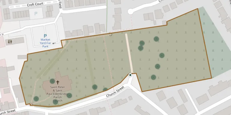
Edenbridge Cemetery on Church Street is maintained and managed by Edenbridge Town Council as the Burial Authority. In 2026 the town's churchyard and cemeteries were recognised with a Gold Award, having previously held a Silver-Gilt award. The cemetery is also listed by the Commonwealth War Graves Commission.
Cemetery location
GPS coordinates: 51.196239° N, 0.068000° E Directions in Google Maps (opens in a new tab)
Memorials
14 memorials, A–Z by surname.
 David Andrews 1891 – 1982
 William Bowman 1856 – 1887
 Florence Cook 1899 – 1984
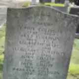 Jack Gillitt 1914 – 1996
 Cyril Glendinning 1900 – 1952
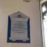 Frank Holmden 1833 – 1910
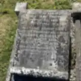 Wilfred Humphrey 1899 – 1994
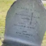 William Jenner 1872 – 1958
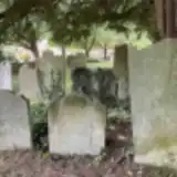 Michael Ray 1737 – 1805
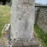 Florence Scott 1862 – 1939
- Mackay Scott 1865 – 1945
 Mary Whibley 1773 – 1857
- William Whibley 1809 – 1833
 Richard Winter 1822 – 1842
Looking for someone who isn't listed? Request a photo.
Nearby cemeteries
The closest other burial grounds listed on EveryStone.
- St Peter and St Paul Churchyard 130 m away · Edenbridge
- St Pauls Church, Four Elms 3.2 km away · Edenbridge · 3 records
- St Peter Churchyard 3.3 km away · Hever · 1 record
- Holy Trinity Churchyard 4.4 km away · Markbeech
- Crockham Hill Cemetery 4.6 km away · Crockham Hill
- St Mary Churchyard 5.6 km away · Chiddingstone
- Chiddingstone Churchyard Extension 5.7 km away · Chiddingstone
- St John the Evangelist Churchyard 6.0 km away · Dormansland · 13 records
- Cowden Cemetery 6.0 km away · Cowden
- St Peter and St Paul Churchyard 6.1 km away · Lingfield · 42 records
Contribute with the app
Our website works smoothly on both desktop and mobile devices. Prefer a native app? Check it out below.
- Capture clear headstone photos
- Save GPS grave locations automatically
- Transcribe inscriptions with our AI
- Suggest corrections to existing records
Common questions
How big is Edenbridge Cemetery?
Edenbridge Cemetery covers about 19,000 m² (4.6 acres), about the size of 3 soccer fields. It is the 45th largest of the 475 cemeteries we list in Kent.
What is the oldest grave in this cemetery?
The oldest grave among the records we hold for Edenbridge Cemetery is that of Michael Ray, who died in 1805 at the age of 68.