
Cemetery #25002
Kalajoki Cemetery
Local name: Kalajoen hautausmaa
Also known as Vuorenkallion hautausmaa
201
documented records
≈ 590–1,200
approx. capacity (graves)
0.030 km²
cemetery area
Nov 4, 2026
last modified
About this cemetery
The Kalajoki parish has four cemeteries, two of them in Kalajoki, one in Himanka and one in Rautio. The cemetery belongs to the parish's Kalajoki church grounds.
Cemetery location
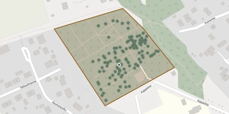
GPS coordinates: 64.256607° N, 23.924091° E Directions in Google Maps (opens in a new tab)
Memorials
Showing the first 50 of 201, A–Z by surname. Search all records
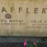 Hilja Afflekt 1925 – 2012
- Toivo Afflekt 1918 – 1991
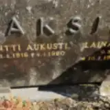 Laina Aksila 1918 – 1991
- Pentti Aksila 1916 – 1980
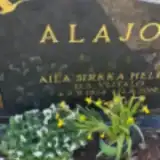 Aila Alajoki 1934 – 2019
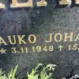 Kauko Alasuvanto 1948 – 1996
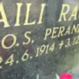 Aili Ängeslevä 1914 – 1986
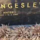 Aimo Ängeslevä 1941 – 1989
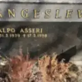 Alpo Ängeslevä 1939 – 1998
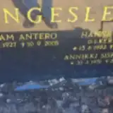 Annikki Ängeslevä 1951 – 2013
- Benjam Ängeslevä 1927 – 2005
- Hanna Ängeslevä 1932 – 2012
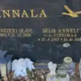 Jukka Annala 1964 – 2010
- Seija Annala 1967 – 2003
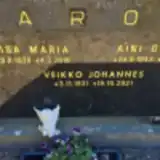 Aini Aro 1943 – 1995
- Liisa Aro 1930 – 2018
- Veikko Aro 1931 – 2021
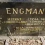 Heikki Engman 1899 – 1980
- Irja Engman 1944 – 2007
- Lydia Engman 1901 – 1972
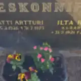 Ilta Eskonniemi 1921 – 1988
- Matti Eskonniemi 1926 – 1973
 Mirjam Hautala 1923 – 1985
- Veli Hautala ? – 1952
- Vilho Hautala 1915 – 1965
 Akseli Helala 1908 – 1989
- Anna Helala 1913 – 2008
 Aaro Helenius 1913 – 1969
- Annikki Helenius 1919 – 1997
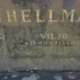 Viljo Hellman 1918 – 1975
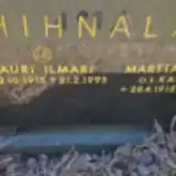 Lauri Hihnala 1915 – 1993
- Martta Hihnala 1915 – 2000
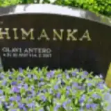 Olavi Himanka 1937 – 2017
 Bror Inkilä 1890 – 1968
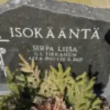 Sirpa Isokääntä 1960 – 2017
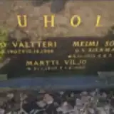 Juho Juhola 1907 – 1988
- Martti Juhola 1950 – 1950
- Meimi Juhola 1911 – 2008
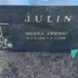 Hilkka Julin 1951 – 1969
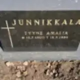 Tyyne Junnikkala 1900 – 1986
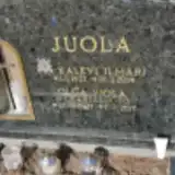 Kalevi Juola 1927 – 2014
 Kauno Juola 1927 – 2000
- Olga Juola 1927 – 2017
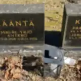 Mauri Kääntä 1928 – 2006
- Paavo Kääntä 1941 – 1941
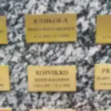 Vesa Kääntä 1957 – 2021
 Jukka Kärjä 1949 – 1949
- Liisa Kärjä 1922 – 2017
- Mauno Kärjä 1916 – 2004
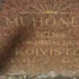 Elma Koivisto 1924 – 1941
Looking for someone who isn't listed? Request a photo.
Nearby cemeteries
The closest other burial grounds listed on EveryStone.
- Kalajoen kirkkomaa 730 m away · Kalajoki · 289 records
- Rahja Cemetery 11 km away · Kalajoki · 11 records
- Koissuo Cemetery, Alavieska 20 km away · Alavieska village · 211 records
- Tikkanen Cemetery, Alavieska 21 km away · Alavieska
- Merijärvi Cemetery 21 km away · Merijärvi
- Rautio Cemetery 24 km away · Kalajoki
- Himanka Heroes' Cemetery, Himanka 25 km away · Himanka · 4 records
- Himanka Churchyard 25 km away · Himanka · 4 records
- Merijärvi Cemetery 26 km away · Merijärvi · 198 records
- Himanka Cemetery 26 km away · Kalajoki · 155 records
Contribute with the app
Our website works smoothly on both desktop and mobile devices. Prefer a native app? Check it out below.
- Capture clear headstone photos
- Save GPS grave locations automatically
- Transcribe inscriptions with our AI
- Suggest corrections to existing records
Common questions
How big is Kalajoki Cemetery?
Kalajoki Cemetery covers about 30,000 m² (7.3 acres), about the size of 4 soccer fields. It is the 22nd largest of the 118 cemeteries we list in North Ostrobothnia.
What is the oldest grave in this cemetery?
The oldest grave among the records we hold for Kalajoki Cemetery is that of Briita Maria Yli-Untinen, who died on April 4, 1892 at the age of 51.