
70
documented records
≈ 95–190
approx. capacity (graves)
4,770 m²
cemetery area
Nov 4, 2026
last modified
About this cemetery
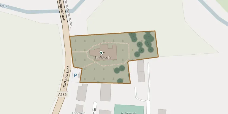
St Michael's churchyard is the burial ground of the parish church at St Michael's on Wyre, Lancashire. Its burial registers, indexed by the Lancashire Online Parish Clerk Project, cover the period 1662 to 1948.
Cemetery location
GPS coordinates: 53.862804° N, 2.819543° W Directions in Google Maps (opens in a new tab)
Memorials
Showing the first 50 of 70, A–Z by surname. Search all records
 Amy Batty ? – 1967
- Frances Batty 1911 – 1980
- Harry Batty ? – 1989
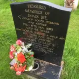 Doris Bee ? – 1994
- James Bee 1920 – 1983
- Thomas Bee ? – 1943
 George Bingham ? – 1948
- Margaret Bingham 1882 – 1959
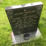 Harry Catterall ? – 1976
- John Catterall 1902 – 1984
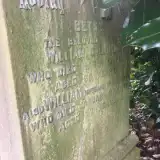 Betsy Collinson ? – 1913
- William Collinson 1839 – 1916
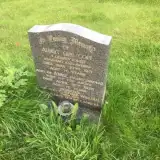 Albert Cope ? – 1971
- Annie Cope 1900 – 1975
- Clifford Cope ? – 2012
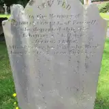 Ellen Cowell 1781 – 1857
- Thomas Cowell ? – 1840
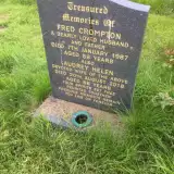 Audrey Crompton ? – 2016
- Fred Crompton 1931 – 1987
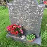 Mary Fairclough ? – 1999
- Olive Fairclough 1899 – 1974
- Richard Fairclough ? – 1964
- Richard Fairclough ? – 1960
- William Fairclough ? – 1943
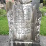 Frank Flintoff ? – 1959
- Grace Flintoff ? – 1959
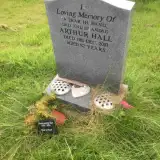 Arthur Hall 1928 – 2010
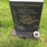 Dorothy Hall 1926 – 1987
- Joseph Hall ? – 1984
- Muriel Hall 1930 – 2024
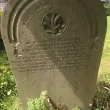 Elizabeth Hardicker ? – 1893
- Thomas Hardicker ? – 1875
- William Hardicker 1815 – 1873
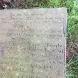 Edmund Hornby ? – 1818
- John Hornby ? – 1845
- William Hornby 1809 – 1847
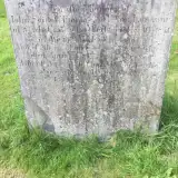 Ann Longworth ? – 1845
- John Longworth ? – 1821
- Thomas Longworth 1767 – 1837
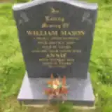 Annie Mason 1921 – 2012
- William Mason ? – 2001
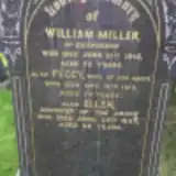 Ellen Miller 1875 – 1957
- Peggy Miller ? – 1919
- William Miller ? – 1915
 Ellen Moon ? – 1851
- Thomas Moon 1755 – 1838
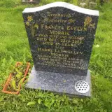 Frances Morris 1919 – 2002
- Harry Morris ? – 2007
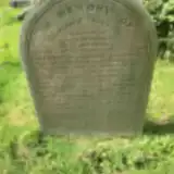 Jane Newsham 1847 – 1864
- Jane Newsham ? – 1879
Looking for someone who isn't listed? Request a photo.
Nearby cemeteries
The closest other burial grounds listed on EveryStone.
- St. Helen's Churchyard 2.6 km away · Kirkland
- Inskip, St Peters Church 3.1 km away · Inskip · 4 records
- Inskip Baptist Churchyard 3.1 km away · Inskip · 30 records
- St Mary Roman Catholic Churchyard 3.5 km away · Great Eccleston
- Kirkland Strict and Particular Baptist Chapel 3.7 km away · Nateby · 17 records
- Garstang (Saint Thomas Church of England) Churchyard 5.0 km away · Garstang
- St Mary & St Michael's RC Church, Bonds 5.0 km away · Bonds
- St. John’s Churchyard 5.2 km away · Out Rawcliffe
- St. Hilda's Churchyard 5.2 km away · Bilsborrow · 13 records
- St. Lawrence Churchyard 6.6 km away · Barton · 12 records
Contribute with the app
Our website works smoothly on both desktop and mobile devices. Prefer a native app? Check it out below.
- Capture clear headstone photos
- Save GPS grave locations automatically
- Transcribe inscriptions with our AI
- Suggest corrections to existing records
Common questions
How big is St Michael's on Wyre?
St Michael's on Wyre covers about 4,770 m² (1.2 acres), about half the size of a soccer field. It is the 144th largest of the 298 cemeteries we list in Lancashire.
What is the oldest grave in this cemetery?
The oldest grave among the records we hold for St Michael's on Wyre is that of Edmund Hornby, who died on March 15, 1818.