
Cemetery #25285
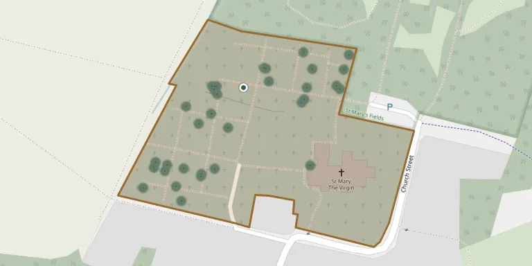
Kidlington Parish Burial Ground
Also known as Kidlington (Saint Mary the Virgin) Churchyard · St Mary the Virgin Church, Kidlington
39
documented records
≈ 370–750
approx. capacity (graves)
0.019 km²
cemetery area
Oct 29, 2026
last modified
About this cemetery
This burial ground was opened in November 1940 and was used by the R.A.F. Station at Kidlington. It is one of two burial grounds maintained by Kidlington Town Council, and it contains war graves.
Cemetery location
GPS coordinates: 51.830212° N, 1.280880° W Directions in Google Maps (opens in a new tab)
Memorials
39 memorials, A–Z by surname.
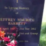 Jeffrey Barrett 1927 – 2012
 Audrey Beacham 1917 – 1996
- Ian Beacham 1917 – 1999
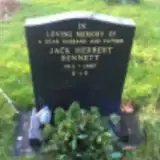 Jack Bennett 1913 – 1987
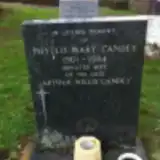 Phyllis Candey 1901 – 1984
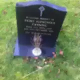 Denis Canning 1906 – 1984
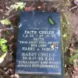 Faith Childs 1922 – 1995
- Harry Childs 1917 – 2003
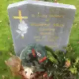 Winifred Cowley 1912 – 2001
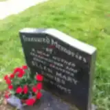 Ellen Davies 1904 – 1995
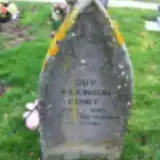 Guy Denby 1923 – 1995
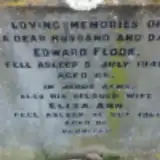 Edward Flook ? – 1949
- Eliza Flook 1885 – 1966
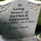 Patrick Goodwin 1929 – 2012
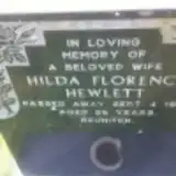 Hilda Hewlett 1899 – 1984
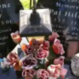 Emma Hillier 1979 – 2004
- Pat Hillier 1952 – 2010
 John Holt 1925 – 1967
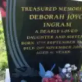 Deborah Ingram 1965 – 2006
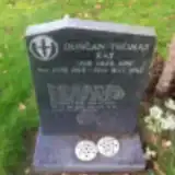 Duncan Kay 1965 – 1983
 Sydney Mace 1884 – 1971
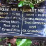 Ernest Nield 1909 – 1998
- Rose Nield 1909 – 1996
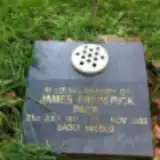 James Page 1911 – 1995
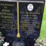 John Pember 1946 – 2008
 Arthur Penny 1909 – 1983
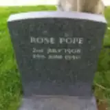 Rose Pope 1908 – 1950
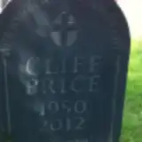 Cliff Price 1950 – 2012
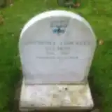 Anthony Salmon 1914 – 2001
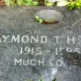 Raymond Slay 1915 – 1995
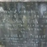 Agnes Smith 1895 – 1958
- Herbert Smith ? – 1941
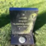 Clarence Soden 1904 – 1973
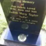 Judith Taylor 1938 – 2004
 Frances Waller 1874 – 1950
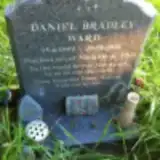 Daniel Ward 1999 – 2001
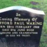 Clifford Waring 1928 – 2002
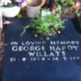 George Willats 1924 – 1995
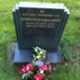 Gordon Williams 1927 – 2001
Looking for someone who isn't listed? Request a photo.
Nearby cemeteries
The closest other burial grounds listed on EveryStone.
- St Mary the Virgin Church, Hampton Poyle 670 m away · Kidlington
- Kidlington Cemetery 1.9 km away · Kidlington · 9 records
- St Giles Church, Hampton Gay 2.0 km away · Shipton-on-Cherwell
- Holy Cross Churchyard 2.3 km away · Shipton-on-Cherwell · 4 records
- St. Michael's Churchyard 3.0 km away · Begbroke · 3 records
- St. Nicholas' Churchyard 3.1 km away · Islip
- Bletchington St Giles Churchyard and Extension 3.3 km away · Bletchingdon
- St. Bartholomew's Churchyard 3.7 km away · Yarnton
- Yarnton Cemetery 3.9 km away · Yarnton · 10 records
- Wolvercote Cemetery 4.4 km away · Oxford · 63 records
Contribute with the app
Our website works smoothly on both desktop and mobile devices. Prefer a native app? Check it out below.
- Capture clear headstone photos
- Save GPS grave locations automatically
- Transcribe inscriptions with our AI
- Suggest corrections to existing records
Common questions
How big is Kidlington Parish Burial Ground?
Kidlington Parish Burial Ground covers about 19,000 m² (4.6 acres), about the size of 3 soccer fields. It is the 16th largest of the 377 cemeteries we list in Oxfordshire.
What is the oldest grave in this cemetery?
The oldest grave among the records we hold for Kidlington Parish Burial Ground is that of Herbert Smith, who died on February 21, 1941.