
30
documented records
≈ 120–230
approx. capacity (graves)
5,860 m²
cemetery area
Nov 5, 2026
last modified
About this cemetery
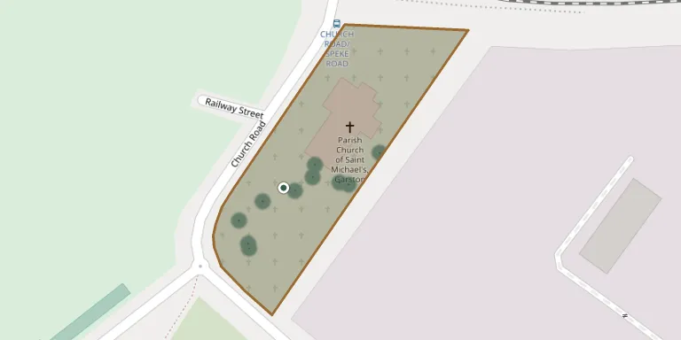
St Michael's is an Anglican parish church in Church Road, Garston, Liverpool, and its churchyard is recorded by the Commonwealth War Graves Commission. The present Grade II listed building is the third church on the site and was consecrated on 29 November 1877. Burial registers survive from 1813 to 1847, with 848 records indexed.
Cemetery location
GPS: GPS coordinates: 53.351841° N, 2.897380° W Directions in Google Maps (opens in a new tab)
Memorials
30 memorials, A–Z by last name.
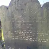 John Batson 1821 – 1893
- Martha Batson ? – 1893
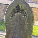 James Bentham ? – 1887
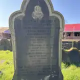 Clara Chambers ? – 1937
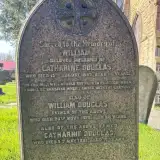 Catharine Douglas 1820 – 1891
- William Douglas ? – 1878
- William Douglas ? – 1887
- Francis Ellis ? – 1924
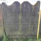 Agnes Gandy 1768 – 1820
- Richard Gandy ? – 1820
 Emma Jones 1874 – 1931
- Flora Murray 1856 – 1942
 Eliza Pemberton ? – 1859
- Mary Pemberton ? – 1891
- Thomas Pemberton 1831 – 1880
- Jane Phillips ? – 1869
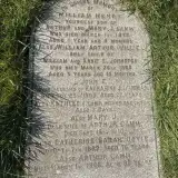 John Taubman 1876 – 1903
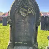 Elizabeth Weston 1857 – 1927
- Annie Whitfield ? – 1913
- Charles Whitfield ? – 1914
- Ernest Whitfield 1888 – 1906
- Joseph Whitfield ? – 1918
- Olive Whitfield ? – 1880
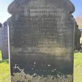 Eleanor Williams ? – 1882
- Margaret Williams ? – 1868
- Margaret Williams 1833 – 1871
- William Williams ? – 1872
- William Williams ? – 1869
- James Wood ? – 1901
- Mary Wood ? – 1898
Looking for someone who isn't listed? Request a photo.
Nearby cemeteries
The closest other burial grounds listed on EveryStone.
- Allerton Cemetery 1.7 km away · Liverpool · 89 records
- Springwood Crematorium, Allerton 2.1 km away · Allerton
- Springwood Jewish Cemetery 2.2 km away · Liverpool · 3 records
- All Saints Churchyard 2.7 km away · Speke
- St. Mary's Churchyard 3.1 km away · Woolton
- St. Peter's Churchyard 3.3 km away · Woolton
- Mayfields Woodland Remembrance Park 4.9 km away · Wirral
- Holy Trinity Churchyard 4.9 km away · Wavertree
- All Saints Churchyard 4.9 km away · Childwall
- St. Nicholas Churchyard 5.0 km away · Halewood
Contribute with the app
Our website works smoothly on both desktop and mobile devices. Prefer a native app? Check it out below.
- Capture clear headstone photos
- Save GPS grave locations automatically
- Transcribe inscriptions with our AI
- Suggest corrections to existing records
Common questions
How big is Saint Michael's Church?
Saint Michael's Church covers about 5,860 m² (1.4 acres), about the size of a soccer field. It is the 46th smallest of the 107 cemeteries we list in Merseyside.
What is the oldest grave in this cemetery?
The oldest grave among the records we hold for Saint Michael's Church is that of Agnes Gandy, who died on February 10, 1820 at the age of 52.