
Cemetery #26314
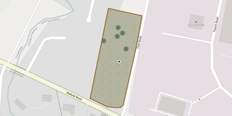
Mallusk Cemetery
28
documented records
≈ 130–260
approx. capacity (graves)
6,600 m²
cemetery area
Nov 5, 2026
last modified
About this cemetery
Mallusk Cemetery stands on Park Road in Mallusk and serves Newtownabbey and the surrounding area. Antrim and Newtownabbey Borough Council is responsible for its management and burial records. The Commonwealth War Graves Commission also lists it.
Cemetery location
GPS coordinates: 54.681099° N, 6.006200° W Directions in Google Maps (opens in a new tab)
Memorials
28 memorials, A–Z by surname.
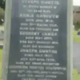 Gertrude Greenwood ? – 1920
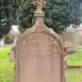 Eliza Greer 1843 – 1931
- Eliza Greer ? – 1899
- George Greer ? – 1880
- John Greer ? – 1867
- Joseph Greer ? – 1925
- Robert Greer 1796 – 1888
- Robert Greer ? – 1875
- William Greer ? – 1893
- Annie Haworth 1842 – 1914
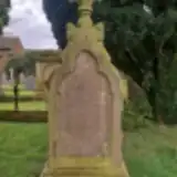 Emily Horner ? – 1911
- Jane Horner ? – 1881
- Margaret Horner ? – 1875
- Mary Horner 1835 – 1917
- Robert Horner ? – 1905
- William Horner ? – 1880
- Herbert Hunter 1884 – 1914
- Joseph Hunter ? – 1922
- Joseph Hunter 1907 – 1908
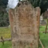 John McIlraith ? – 1874
- Sarah McIlraith ? – 1882
- Thomas McIlraith ? – 1857
- Sarah McLLRAITH 1820 – 1904
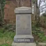 David Wilson ? – 1908
- David Wilson 1873 – 1956
- Elizabeth Wilson ? – 1899
- Elizabeth Wilson ? – 1902
- Mabel Wilson ? – 1930
Looking for someone who isn't listed? Request a photo.
Nearby cemeteries
The closest other burial grounds listed on EveryStone.
- Carnmoney Jewish Cemetery, Glengormley 4.2 km away · Newtownabbey
- Carnmoney Church Of The Holy Evangelists Graveyard 4.2 km away · Newtownabbey
- Umgall Cemetery 4.4 km away · Antrim · 204 records
- Carnmoney Cemetery 4.4 km away · Newtownabbey · 19 records
- Carnmoney East Cemetery 4.7 km away · Newtownabbey · 48 records
- Our Lady’s Acre Cemetery 5.8 km away · Newtownabbey
- Ballylinney Presbyterian Graveyard 5.9 km away · Newtownabbey · 3 records
- Old Ballylinney Graveyard 6.1 km away · Ballyclare
- Templepatrick Church of Ireland 6.3 km away · Antrim
- Templeton Mausoleum 6.4 km away · Parkgate · 11 records
Contribute with the app
Our website works smoothly on both desktop and mobile devices. Prefer a native app? Check it out below.
- Capture clear headstone photos
- Save GPS grave locations automatically
- Transcribe inscriptions with our AI
- Suggest corrections to existing records
Common questions
How big is Mallusk Cemetery?
Mallusk Cemetery covers about 6,600 m² (1.6 acres), about the size of a soccer field. It is the 58th largest of the 177 cemeteries we list in County Antrim.
What is the oldest grave in this cemetery?
The oldest grave among the records we hold for Mallusk Cemetery is that of Thomas McIlraith, who died on September 18, 1857.