
Cemetery #26503
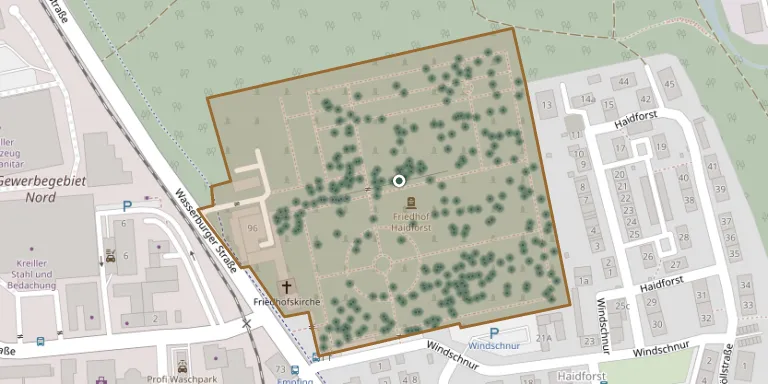
Traunstein Cemetery
Local name: Friedhof Traunstein
Also known as Friedhof Traunstein - Haidforst · Waldfriedhof, Empfing · Waldfriedhof Wasserburger Straße 94 in Traunstein · Traunstein Woodland Cemetery, Wasserburger Straße 94
571
documented records
≈ 1,300–2,600
approx. capacity (graves)
0.064 km²
cemetery area
Nov 5, 2026
last modified
About this cemetery
The town of Traunstein is responsible for burials at the cemetery and for the care and maintenance of the whole grounds. It is also a war graves site, where the dead include 57 victims of the bombing raid on the town on 18 April 1945. You can reach the cemetery on +49 861 4654 or through traunstein.de.
Cemetery location
GPS coordinates: 47.884754° N, 12.634991° E Directions in Google Maps (opens in a new tab)
Memorials
Showing the first 50 of 571, A–Z by surname. Search all records
 Heinz Auer 1940 – 2011
 Johann Billmann 1879 – 1967
- Margarete Billmann 1883 – 1978
 Anna Buzás 1882 – 1965
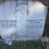 Rosemarie Enne 1931 – 2016
 Franz Fischer 1882 – 1943
- Franz Fischer 1909 – 1944
- Johanna Fischer 1887 – 1952
 Gerti Frank 1947 – 1997
 Frieda Fritzenwenger 1927 – 1991
 Ottilie Galneder 1903 – 1991
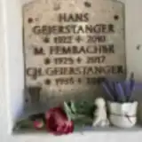 Hans Geierstanger 1922 – 2010
 Karl Geilert 1903 – 1987
 Irmengard Geiss 1939 – 2011
- Kaspar Glonecker 1908 – 1980
- Regina Glonecker 1909 – 1997
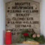 Renate Glonecker 1938 – 2021
 Max Gnadl 1931 – 1980
 Gertrud Götz 1919 – 2010
 Josef Gulder 1879 – 1941
- Kunigunde Gulder 1898 – 1976
 Maria Haberlander 1922 – 1995
 Helga Hachinger 1963 – 2017
 Peter Hackl 1909 – 1969
 Josefa Hammer 1893 – 1978
 Ludwig Hämmerle 1873 – 1968
 Valentin Haßlberger 1912 – 1991
 Annemarie Haunerdinger 1938 – 2022
 Friedrich Hegenbart 1898 – 1965
 Magdalena Hille 1924 – 2003
 Wolfgang Hirtler 1963 – 1991
 Hans Hofmann 1905 – 1998
 Anna Hogger 1919 – 2014
- Hans Hogger 1912 – 1981
- Hansi Hogger 1945 – 1959
 Josef Holzhauser 1913 – 1995
 Johann Huber 1908 – 1943
 Veronika Huber 1922 – 2005
 Waltraud Huber 1942 – 2007
 Bruno Jaeger 1904 – 1979
- Herbert Kaidl 1929 – 1929
- Alfred Kaindl 1923 – 1942
- Hildegard Kaindl 1924 – 2016
- Nikolaus Kaindl 1898 – 1957
- Regina Kaindl 1896 – 1991
 Maria Kammelmacher 1885 – 1976
 Marianne Karmann 1922 – 2006
 Wolfgang Keilhofer 1887 – 1929
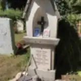 Maria Kern 1905 – 1999
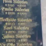 Julius Kiderlen 1897 – 1916
Looking for someone who isn't listed? Request a photo.
Nearby cemeteries
The closest other burial grounds listed on EveryStone.
- Traunstein War Cemetery 2.0 km away · Hallabruck
- Haslach Cemetery (Annunciation of Mary) 2.8 km away · Traunstein · 113 records
- Vachendorf Cemetery 5.2 km away · Vachendorf
- Surberg Cemetery 5.7 km away · Surberg
- Traunwalchen Cemetery 6.8 km away · Hölzl
- Siegsdorf Cemetery 6.8 km away · Siegsdorf
- Obermoosen Cemetery 6.8 km away · Obermoosen
- Chieming Municipal Cemetery 7.3 km away · Chieming
- Otting Cemetery 7.5 km away · Otting
- Grabenstätt Churchyard 8.4 km away · Grabenstätt
Contribute with the app
Our website works smoothly on both desktop and mobile devices. Prefer a native app? Check it out below.
- Capture clear headstone photos
- Save GPS grave locations automatically
- Transcribe inscriptions with our AI
- Suggest corrections to existing records
Common questions
How big is Traunstein Cemetery?
Traunstein Cemetery covers about 64,000 m² (16 acres), about the size of 9 soccer fields. It is the 74th largest of the 5,401 cemeteries we list in Bavaria.
What is the oldest grave in this cemetery?
The oldest grave among the records we hold for Traunstein Cemetery is that of Wally Müller, who died on April 1, 1881 at the age of 0.