
Cemetery #26927
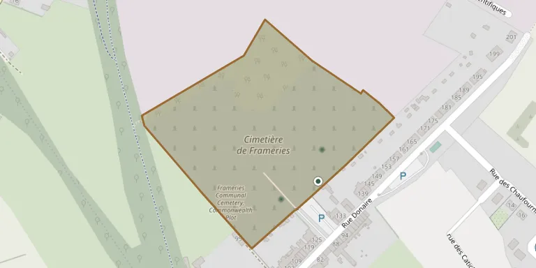
Frameries Communal Cemetery
Local name: Cimetière de Frameries
Also known as Begraafplaats van Frameries
4
documented records
≈ 840–1,700
approx. capacity (graves)
0.042 km²
cemetery area
Oct 29, 2026
last modified
About this cemetery
Frameries Communal Cemetery is the municipal cemetery of Frameries in Hainaut, Belgium. Its Commonwealth war graves lie in the Belgian military area, in plots 9 and 39. They are largely those of soldiers who fell in August 1914.
Cemetery location
GPS coordinates: 50.413139° N, 3.906830° E Directions in Google Maps (opens in a new tab)
Memorials
4 memorials, A–Z by surname.
 Marguerite Foncez 1917 – 2002
- Mariette Foncez 1920 – 2012
- Georges Quenon 1913 – 1962
 Jean-Baptiste Rousseau 1860 – 1913
Looking for someone who isn't listed? Request a photo.
Nearby cemeteries
The closest other burial grounds listed on EveryStone.
- Frameries Communal Cemetery, Commonwealth Plot 110 m away · Frameries
- Noirchain Cemetery 1.9 km away · Noirchain
- La Bouverie Cemetery 2.0 km away · La Bouverie, Frameries
- Eugies Cemetery 2.5 km away · Eugies, Frameries · 7 records
- Cuesmes Cemetery 2.6 km away · Cuesmes
- Ciply Cemetery 2.6 km away · Ciply
- Genly Cemetery 2.9 km away · Quévy
- Paturages Cemetery 3.1 km away · Colfontaine · 11 records
- Flénu Cemetery 3.4 km away · Flénu
- Asquillies Cemetery 3.6 km away · Asquillies
Contribute with the app
Our website works smoothly on both desktop and mobile devices. Prefer a native app? Check it out below.
- Capture clear headstone photos
- Save GPS grave locations automatically
- Transcribe inscriptions with our AI
- Suggest corrections to existing records
Common questions
How big is Frameries Communal Cemetery?
Frameries Communal Cemetery covers about 42,000 m² (10 acres), about the size of 6 soccer fields. It is the 16th largest of the 566 cemeteries we list in Hainaut.
What is the oldest grave in this cemetery?
The oldest grave among the records we hold for Frameries Communal Cemetery is that of Jean-Baptiste Rousseau, who died on February 8, 1913 at the age of 52.