
37
documented records
≈ 370–750
approx. capacity (graves)
0.019 km²
cemetery area
Oct 29, 2026
last modified
About this cemetery
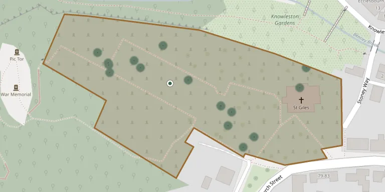
The churchyard surrounds St Giles' Church in Matlock, Derbyshire, a Grade II* listed Church of England parish church. The building has an ancient tower with pinnacles decorated with grotesque gargoyles. The churchyard has many graves and memorials, and its wall and gatepiers are listed by Historic England.
Cemetery location
GPS: GPS coordinates: 53.134357° N, 1.553396° W Directions in Google Maps (opens in a new tab)
Memorials
37 memorials, A–Z by surname.
 Elizabeth Birch ? – 1906
- William Birch 1852 – 1917
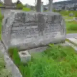 Sydney Cavine 1928 – 2006
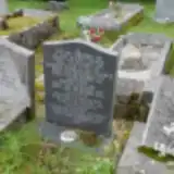 Alice Cooke 1880 – 1955
- Joseph Cooke 1879 – 1961
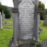 Anne Fisher ? – 1861
- John Fisher ? – 1859
- William Fisher 1859 – 1890
- Sydney Gavine 1883 – 1923
- Violet Gavine 1888 – 1946
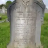 Edward Gregory 1811 – 1885
- Harriet Gregory 1815 – 1887
 Gilbert Hall 1891 – 1916
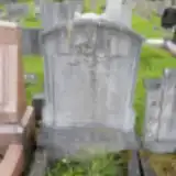 Mary Hall 1854 – 1930
- Robert Hall 1889 – 1890
- Samuel Hall ? – 1940
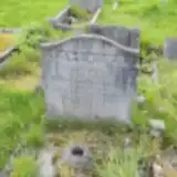 Norman Holmes 1904 – 1929
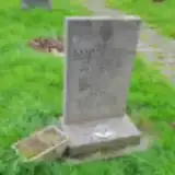 George Kurnatowski 1920 – 1979
- Iris Kurnatowski 1929 – 2013
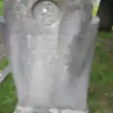 William Marshall 1843 – 1885
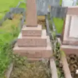 David Pearson ? – 1932
- Matilda Pearson ? – 1930
- Nellie Pearson 1865 – 1941
- Sarah Pearson ? – 1934
 James Platts ? – 1895
- Sarah Platts 1819 – 1901
- Maude Pursglove 1923 – 2013
 James Slack 1890 – 1946
 Sarah Standall 1806 – 1892
- William Standall 1842 – 1862
- William Standall ? – 1843
 Elizabeth Statham 1812 – 1833
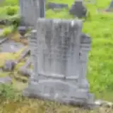 Hannah Taylor 1851 – 1930
- Henry Taylor ? – 1926
- Sonia Taylor 1923 – 2003
- William Wilson 1934 – 2007
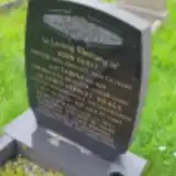 James Wragg 1903 – 1985
Looking for someone who isn't listed? Request a photo.
Nearby cemeteries
The closest other burial grounds listed on EveryStone.
- Holy Trinity Churchyard 2.0 km away · Matlock Bath
- Holy Trinity Churchyard 2.3 km away · Tansley · 4 records
- St. Mark's Churchyard 3.1 km away · Cromford · 20 records
- St Mary the Virgin's Church, South Darley 3.6 km away · Darley Dale · 33 records
- Cemetery near Matlock 3.8 km away · Matlock
- Darley Dale Cemetery 4.2 km away · Darley Dale
- Steeple Arch Cemetery, Wirksworth 4.3 km away · Wirksworth
- Middleton by Wirksworth Cemetery 4.3 km away · Middleton · 12 records
- St. Helen's Churchyard 4.6 km away · Darley Dale · 15 records
- Holy Trinity Churchyard 4.6 km away · Middleton by Wirksworth
Contribute with the app
Our website works smoothly on both desktop and mobile devices. Prefer a native app? Check it out below.
- Capture clear headstone photos
- Save GPS grave locations automatically
- Transcribe inscriptions with our AI
- Suggest corrections to existing records
Common questions
How big is St. Giles' Churchyard?
St. Giles' Churchyard covers about 19,000 m² (4.6 acres), about the size of 3 soccer fields. It is the 25th largest of the 319 cemeteries we list in Derbyshire.
What is the oldest grave in this cemetery?
The oldest grave among the records we hold for St. Giles' Churchyard is that of Elizabeth Statham, who died on April 8, 1833 at the age of 21.