
Cemetery #27489
Buxton Cemetery
275
documented records
≈ 960–1,900
approx. capacity (graves)
0.048 km²
cemetery area
Nov 6, 2026
last modified
About this cemetery
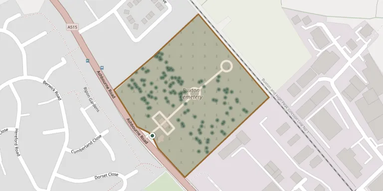
Buxton Cemetery in Derbyshire is one of four cemeteries owned by High Peak Borough Council. Among its monuments, the tombstone of Micah Salt is Grade II listed.
Cemetery location
GPS coordinates: 53.244682° N, 1.901391° W Directions in Google Maps (opens in a new tab)
Memorials
Showing the first 50 of 275, A–Z by surname. Search all records
 Frank Anderson ? – 1969
 Audrey Bell ? – 1993
- Donald Bell ? – 2003
 Daisy Bradbury 1905 – 1957
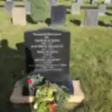 Kathryn Bradley 1947 – 1979
 Aubrey Brunt 1926 – 2010
- Mary Brunt 1930 – 2013
 Emily Copling ? – 1912
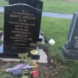 Eric Downs ? – 2022
- Ruth Downs ? – 2023
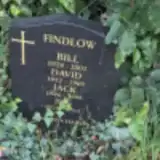 Bill Findlow 1928 – 2001
- David Findlow 1952 – 1969
- Jack Findlow 1946 – 1999
- Peg Findlow 1928 – 2015
 George Fisher ? – 2008
- George Fisher 1889 – 1969
- Mabel Fisher ? – 1953
 John Flanagan 1942 – 2008
- Letizia Flanagan 1938 – 2011
 Eva Foster 1890 – 1943
- John Foster ? – 1960
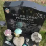 Tyler Furness 2011 – 2012
 Mary Gallagher ? – 1953
 John Gilbert 1879 – 1958
- Sarah Gilbert ? – 1956
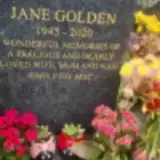 Jane Golden 1945 – 2020
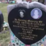 Clare Gould 1950 – 2016
- Cyril Gould 1934 – 2006
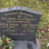 John Gould 1934 – 2021
- Sylvia Gould 1937 – 2006
- Elizabeth Hall ? – 1947
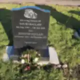 David Hallam 1939 – 2022
- Jennifer Hallam 1939 – 2023
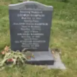 Ann Hampson ? – 1935
- George Hampson ? – 1934
- Michael Hampson ? – 2020
- Vivienne Hampson 1927 – 2020
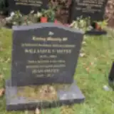 William Hayes 1919 – 2002
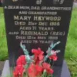 Mary Heywood 1917 – 1988
- Reginald Heywood ? – 1989
 Olive Hills ? – 1970
 Annie Hobson 1871 – 1955
- Edward Hobson 1899 – 1965
- Edward Hobson 1864 – 1944
 Joyce Hodgson 1915 – 1997
 Ada Hodskinson 1910 – 1999
- Dorothy Hodskinson 1916 – 1966
- Vincent Hodskinson 1911 – 1999
 Kenneth Holmes 1933 – 1999
 Richard Holmes 1940 – 1951
Looking for someone who isn't listed? Request a photo.
Nearby cemeteries
The closest other burial grounds listed on EveryStone.
- Harpur Hill, St James Churchyard 880 m away · High Peak · 3 records
- Harpur Hill Methodist Churchyard 900 m away · High Peak · 32 records
- St John the Baptist Churchyard 1.9 km away · High Peak · 10 records
- St Peter's Churchyard 2.2 km away · High Peak · 102 records
- Christ Church Churchyard 2.5 km away · High Peak · 49 records
- Christ Church, King Sterndale 2.7 km away · King Sterndale · 10 records
- Holy Trinity Church, Peak Dale 4.9 km away · Upper End · 54 records
- St. John the Baptist Churchyard 5.2 km away · Chelmorton · 12 records
- St. Michael and All Angels Churchyard 5.4 km away · Earl Sterndale · 4 records
- St Margaret's Church, Wormhill 6.2 km away · Wormhill · 9 records
Contribute with the app
Our website works smoothly on both desktop and mobile devices. Prefer a native app? Check it out below.
- Capture clear headstone photos
- Save GPS grave locations automatically
- Transcribe inscriptions with our AI
- Suggest corrections to existing records
Common questions
How big is Buxton Cemetery?
Buxton Cemetery covers about 48,000 m² (12 acres), about the size of 7 soccer fields. It is the 7th largest of the 319 cemeteries we list in Derbyshire.
What is the oldest grave in this cemetery?
The oldest grave among the records we hold for Buxton Cemetery is that of Harry Lomas, who died on May 21, 1900.