
50
documented records
≈ 710–1,400
approx. capacity (graves)
0.036 km²
cemetery area
Nov 5, 2026
last modified
About this cemetery
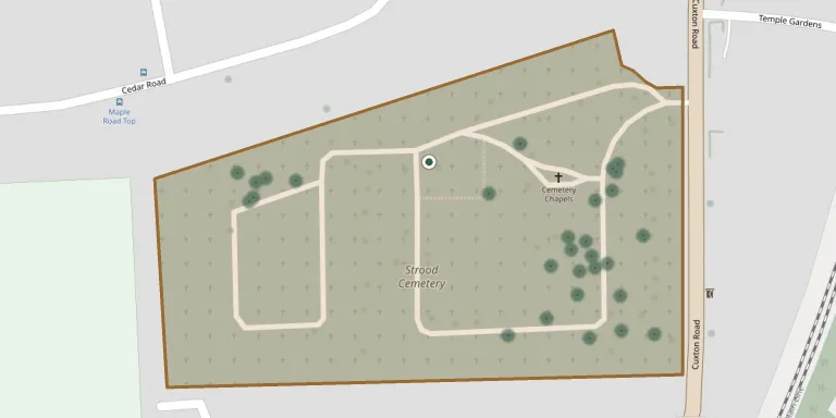
Strood Cemetery lies on high ground about three-quarters of a mile south of the town centre, on Cuxton Road. The original site covered 6 acres. It is one of the cemeteries managed by Medway Council. The cemetery can be reached by phone on +44 1634 306000.
Cemetery location
GPS coordinates: 51.389778° N, 0.482250° E Directions in Google Maps (opens in a new tab)
Memorials
50 memorials, A–Z by surname.
 Rita Harrold 1956 – 2006
 Mary Hegarty ? – 1961
 Annie Hetterley 1898 – 1990
- Lydia Hetterley ? – 1906
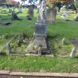 Walter Hinge 1862 – 1883
 Archie Holliday ? – 1970
- Rose Holliday 1900 – 1980
 Iris Hollings 1894 – 1940
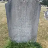 Louisa Honey 1883 – 1962
 Charles Jarrett 1864 – 1922
 Agnes Lemon 1870 – 1907
- Edward Lemon 1840 – 1930
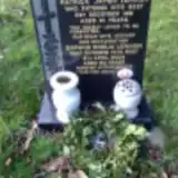 Daphne Lennon ? – 2008
- Patrick Lennon 1920 – 1981
 Charles Morris ? – 1989
- Elizabeth Morris ? – 1984
- John Morris ? – 1984
- Louisa Morris 1895 – 1964
- Minnie Morris ? – 1984
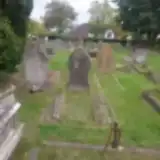 George Neaves 1874 – 1902
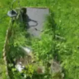 Heidi Parris 1988 – 2000
 Ellen Payne 1859 – 1933
- Harry Payne ? – 1941
- Henry Payne ? – 1926
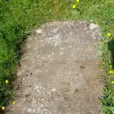 Isabella Payne 1870 – 1886
 James Percival 1883 – 1900
 Winefred Peters 1914 – 1995
 Jane Picnot 1840 – 1909
 Denis Pierson 1926 – 1928
- Sydney Pierson ? – 1941
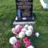 Anthony Reynolds 1947 – 2008
- Anthony Reynolds 1807 – 1872
- Mary Reynolds ? – 1997
- Annie Smith 1888 – 1973
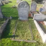 James Sweet 1830 – 1899
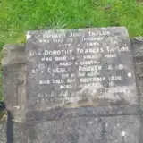 Chesley Taylor ? – 1930
- Dorothy Taylor 1899 – 1900
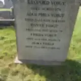 Adolphus Voigt ? – 1935
- Alma Voigt ? – 2003
- Fanny Voigt ? – 1953
- Freda Voigt 1910 – 1986
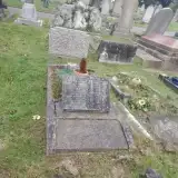 Edith Wadhams 1893 – 1964
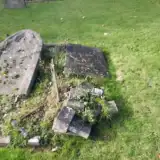 Maria Wenborn 1840 – 1888
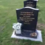 Graham Williams 1958 – 2019
 Kathleen Wilson ? – 1997
- Sydney Wilson 1908 – 1964
 Kyla Woodcock Thompson 2022 – 2022
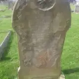 Ernest Wright 1870 – 1891
- Hannah Wright ? – 1884
- Thomas Wright ? – 1886
Looking for someone who isn't listed? Request a photo.
Nearby cemeteries
The closest other burial grounds listed on EveryStone.
- St Nicholas with St Mary Churchyard 1.0 km away · Strood · 3 records
- St Margaret Churchyard 1.3 km away · Rochester · 1 record
- Rochester Castle Moat Burial Ground 1.4 km away · Rochester
- Rochester Cathedral 1.5 km away · Rochester
- St Nicholas Churchyard 1.5 km away · Rochester · 3 records
- St Margaret Cemetery, Rochester 2.0 km away · Rochester · 10 records
- All Saints Churchyard 2.0 km away · Frindsbury
- Fort Pitt Military Cemetery 2.5 km away · Rochester
- St. Michael and All Angels Churchyard 2.8 km away · Cuxton · 7 records
- St Mary Churchyard 2.9 km away · Chatham
Contribute with the app
Our website works smoothly on both desktop and mobile devices. Prefer a native app? Check it out below.
- Capture clear headstone photos
- Save GPS grave locations automatically
- Transcribe inscriptions with our AI
- Suggest corrections to existing records
Common questions
How big is Strood Cemetery?
Strood Cemetery covers about 36,000 m² (8.8 acres), about the size of 5 soccer fields. It is the 31st largest of the 475 cemeteries we list in Kent.
What is the oldest grave in this cemetery?
The oldest grave among the records we hold for Strood Cemetery is that of Anthony Reynolds, who died on April 15, 1872 at the age of 65.