
Cemetery #2762
St. Michael's Churchyard
Also known as Saint Michael's Parish Church, Mytholmroyd
98
documented records
≈ 98–150
approx. capacity (graves)
3,760 m²
cemetery area
Nov 5, 2026
last modified
About this cemetery
St Michael's Church has stood in Mytholmroyd, West Yorkshire, since the mid-19th century, beside the River Calder. The church is a Grade II listed building, and its churchyard is also listed by the Commonwealth War Graves Commission.
Cemetery location
GPS coordinates: 53.730080° N, 1.981434° W Directions in Google Maps (opens in a new tab)
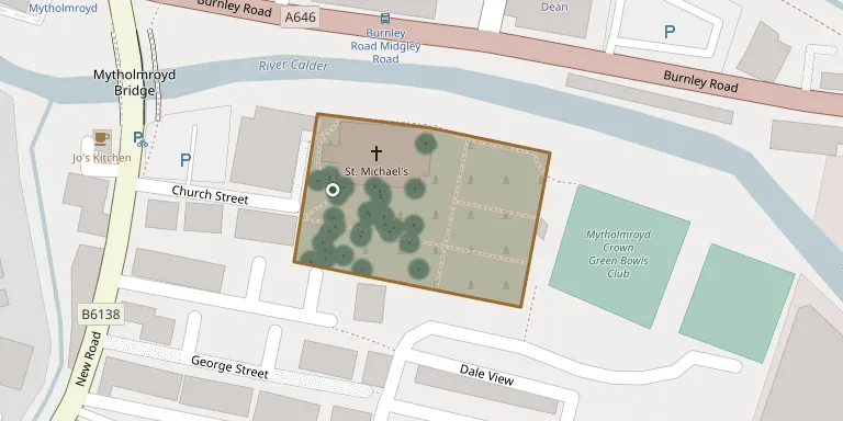
Memorials
Showing the first 50 of 98, A–Z by surname. Search all records
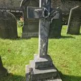 George Barker 1880 – 1904
- Thomas Barker ? – 1917
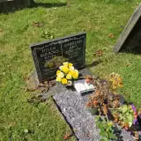 Helen Borrows 1971 – 1972
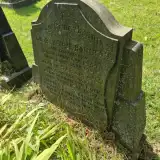 Arthur Boulton 1859 – 1916
- Harry Boulton ? – 1892
- Sarah Boulton 1859 – 1937
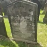 Martha Broadbent 1852 – 1865
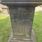 Bertha Cockcroft ? – 1959
- Doris Cockcroft 1914 – 2014
- James Cockcroft ? – 1912
- Harrison Coneron 2006 – 2006
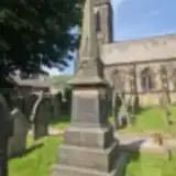 Jane Crossley ? – 1939
- John Crossley 1867 – 1931
- Maggie Crossley ? – 1890
- Margaret Crossley ? – 1890
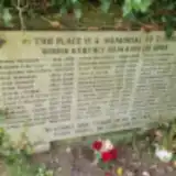 J Dean 1933 – 2004
- Norman Dempsey 1936 – 2004
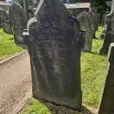 Susan Eastwood ? – 1852
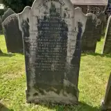 Elizabeth Farrar ? – 1859
- Isaac Farrar ? – 1875
- Martha Farrar 1821 – 1897
- Sally Farrar ? – 1862
- Sarah Farrar ? – 1860
- William Farrar ? – 1886
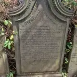 Albert Fletcher ? – 1884
- Elizabeth Fletcher ? – 1880
- Hannah Fletcher ? – 1876
- John Fletcher ? – 1894
- Mary Fletcher 1836 – 1908
- Edward Garnett 1909 – 1970
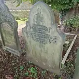 Joseph Grave ? – 1894
- Mary Grave 1831 – 1878
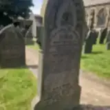 Clarence Greenwood ? – 1939
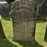 Greenwood Greenwood ? – 1915
- Hannah Greenwood 1826 – 1900
- James Greenwood ? – 1934
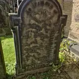 Mabel Greenwood ? – 1896
- Mary Greenwood 1844 – 1887
- Nellie Greenwood ? – 1955
- Sarah Greenwood ? – 1884
- William Greenwood ? – 1864
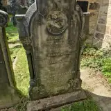 Mary Heyhirst 1874 – 1895
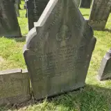 Eliza Horsfall ? – 1917
- Sarah Horsfall ? – 1892
- William Horsfall 1851 – 1920
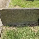 Percy Ingham 1871 – 1950
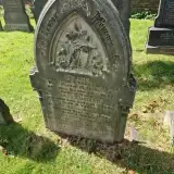 Albert Johnson ? – 1890
- Effie Johnson ? – 1892
- Frank Johnson ? – 1888
- Sarah Johnson 1850 – 1921
Looking for someone who isn't listed? Request a photo.
Nearby cemeteries
The closest other burial grounds listed on EveryStone.
- Mytholmroyd Methodist Chapelyard 290 m away · Mytholmroyd
- Birchcliffe Baptist Cemetery 2.3 km away · Hebden Bridge
- Cross Lanes Methodist Church Graveyard 2.8 km away · Hebden Bridge · 28 records
- Steep Lane Baptist Chapel Cemetery 2.8 km away · Sowerby Bridge
- Luddenden Cemetery 2.8 km away · Luddenden
- St Mary Churchyard 2.8 km away · Luddenden
- St. John the Baptist in the Wilderness Churchyard 3.0 km away · Cragg Vale · 17 records
- Wainsgate Baptist Church Graveyard 3.2 km away · Hebden Bridge
- Luddenden Dean Wesleyan Methodist Chapelyard 3.2 km away · Luddenden
- St. James The Great - Parish Church of Hebden Brid 3.2 km away · Mytholm
Contribute with the app
Our website works smoothly on both desktop and mobile devices. Prefer a native app? Check it out below.
- Capture clear headstone photos
- Save GPS grave locations automatically
- Transcribe inscriptions with our AI
- Suggest corrections to existing records
Common questions
How big is St. Michael's Churchyard?
St. Michael's Churchyard covers about 3,760 m² (0.9 acres), about half the size of a soccer field. It is the 115th smallest of the 340 cemeteries we list in West Yorkshire.
What is the oldest grave in this cemetery?
The oldest grave among the records we hold for St. Michael's Churchyard is that of Susan Eastwood, who died on August 10, 1852.