
35
documented records
≈ 140–280
approx. capacity (graves)
6,910 m²
cemetery area
Oct 18, 2026
last modified
About this cemetery
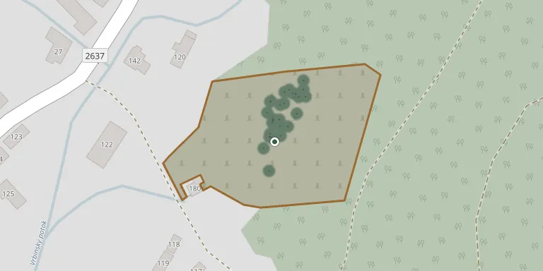
The local cemetery of Kotmanová, a village in the Lučenec District of the Banská Bystrica Region, has been digitally mapped by the municipality.
Cemetery location
GPS coordinates: 48.483473° N, 19.580622° E Directions in Google Maps (opens in a new tab)
Memorials
35 memorials, A–Z by surname.
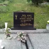 Pavel Bobáľ 1925 – 1993
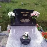 Dušan Brada 1951 – 2005
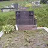 Pavel Brada 1929 – 1981
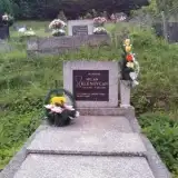 Milan Klenovčan 1937 – 1993
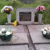 Štefan Klenovčan 1910 – 1959
- Dorota Klenovčanová 1915 – 1990
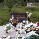 Ondrej Korim 1919 – 2003
- Elena Korimová 1921 – 2008
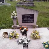 Juraj Kúdeľa 1891 – 1984
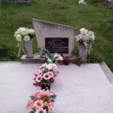 Ondrej Kúdeľa 1925 – 1974
- Anna Kúdeľová 1897 – 1972
- Anna Kúdeľová 1930 – 1994
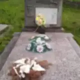 Ondrej Kuric 1897 – 1972
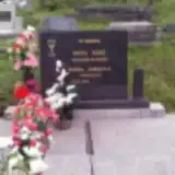 Pavel Kuric 1934 – 2000
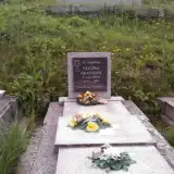 Pavlína Oravcová 1908 – 1988
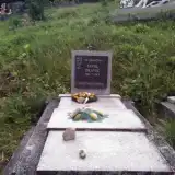 Pavol Oravec 1901 – 1969
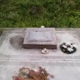 Ján Pančík 1903 – 1959
- Elena Pančíková 1906 – 1989
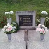 Pavel Petrek 1910 – 1991
- Elena Petreková 1911 – 2002
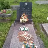 Juraj Petrus 1913 – 1969
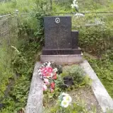 Ján Salaj 1943 – 1965
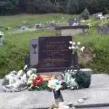 Ondrej Salaj 1913 – 1994
- Elena Salajová 1919 – 1996
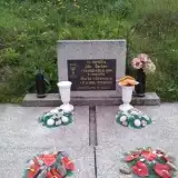 Ján Šarkan 1922 – 1994
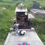 Pavel Šarkan 1952 – 1999
- Marta Šarkanová 1928 – 2001
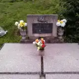 Juraj Šoltés 1905 – 1982
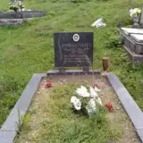 Ondrej Šoltés 1952 – 1989
 Pavel Šoltés 1909 – 1970
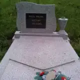 Pavel Šoltés 1947 – 2001
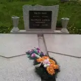 Pavel Šoltés 1925 – 2002
- Alžbeta Šoltésová 1928 – 2000
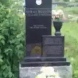 Juraj Šoltýs 1927 – 1946
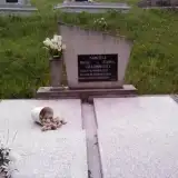 Pavol Uradník 1928 – 1988
Looking for someone who isn't listed? Request a photo.
Nearby cemeteries
The closest other burial grounds listed on EveryStone.
- Mýtna Cemetery 2.3 km away · Mýtna · 574 records
- Divín Svätá Anna 5.4 km away · Divín
- Divín Cemetery 5.7 km away · Divín · 12 records
- Cinobaňa Cemetery 6.2 km away · Cinobaňa
- Ružiná Cemetery 6.6 km away · Ružiná
- Brestiná Cemetery 6.8 km away · Brestiná
- Lovinobaňa Municipal Cemetery 7.3 km away · Lovinobaňa
- Málinec Cemetery 7.3 km away · Málinec
- Čechánky Cemetery 7.4 km away · Čechánky
- Ozdín Cemetery 7.6 km away · Ozdín
Contribute with the app
Our website works smoothly on both desktop and mobile devices. Prefer a native app? Check it out below.
- Capture clear headstone photos
- Save GPS grave locations automatically
- Transcribe inscriptions with our AI
- Suggest corrections to existing records
Common questions
How big is Kotmanová Cemetery?
Kotmanová Cemetery covers about 6,910 m² (1.7 acres), about the size of a soccer field. It is the 244th largest of the 557 cemeteries we list in Region of Banská Bystrica.
What is the oldest grave in this cemetery?
The oldest grave among the records we hold for Kotmanová Cemetery is that of Juraj Šoltýs, who died on June 24, 1946 at the age of 18.