
Cemetery #284624
Národná ul. Cemetery, Modra
Local name: Cintorín Národná ul., Modra
Also known as Národná ul.
88
documented records
≈ 230–450
approx. capacity (graves)
0.011 km²
cemetery area
Oct 7, 2026
last modified
About this cemetery
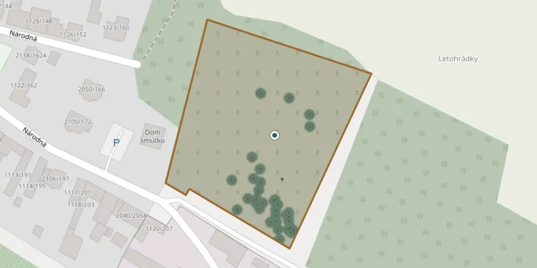
Národná ul. Cemetery, Modra lies in Region of Bratislava, Slovakia.
Cemetery location
GPS coordinates: 48.348565° N, 17.333015° E Directions in Google Maps (opens in a new tab)
Memorials
Showing the first 50 of 88, A–Z by surname. Search all records
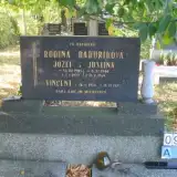 Vincent Baďurik 1933 – 1979
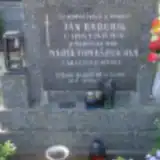 Ján Baďurík 1914 – 1978
- Jozef Baďurík 1903 – 1974
- Justína Baďuríková 1900 – 1969
- Mária Baďuríková 1921 – 1983
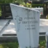 Monika Bartošová 1975 – 1985
 Vincent Bittner 1924 – 1924
 Ján Černák 1887 – 1909
- Ján Černák 1864 – 1913
- Katarína Černáková 1861 – 1938
 Michal Čvirik 1868 – 1939
 Vincenc Čvirik 1897 – 1959
- Katarína Čviriková 1901 – 1962
- Mária Čviriková 1871 – 1940
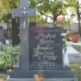 Štefan Dudo 1912 – 1975
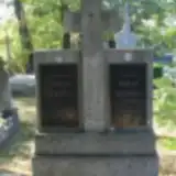 Štefan Dudo 1886 – 1924
- Mária Dudová 1880 – 1950
- Monika Dudová 1915 – 1997
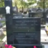 František Fiala 1901 – 1951
- Beáta Fialová 1907 – 1973
 Anton Fraňo 1947 – 2008
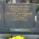 Edko Gavorník 1936 – 1938
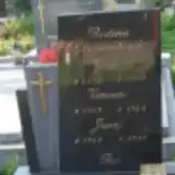 Jozef Gavorník 1930 – 1999
- Jozef Gavorník 1911 – 1977
- Juraj Gavorník 1957 – 1957
- Vincent Gavorník 1959 – 1964
- Hedviga Gavorníková 1913 – 1996
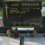 Ivan Idešic 1935 – 1992
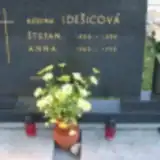 Štefan Idešic 1905 – 1996
- Anna Idešicová 1909 – 1998
- Ľudmila Idešicová 1933 – 2025
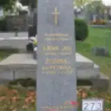 Ján Juran 1906 – 1973
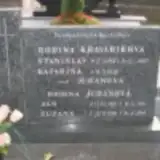 Ján Juran 1903 – 1998
 Ján Juran 1929 – 1930
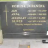 Ján Juran 1917 – 1997
- Jaroslav Juran 1953 – 1954
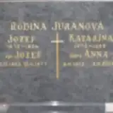 Jozef Juran 1903 – 1977
- Jozef Juran 1872 – 1934
- Oliver Juran 1975 – 1996
- Anna Juranová 1912 – 2001
- Anna Juranová 1924 – 1995
- Katarína Juranová 1876 – 1965
- Mária Juranová 1909 – 1930
- Zuzana Juranová 1900 – 1969
- Zuzana Juranová 1911 – 1992
- Stanislav Kravárik 1927 – 1997
- Katarína Kraváriková 1928 – 2009
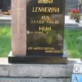 Ján Lenner 1925 – 1983
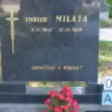 Imrich Milata 1943 – 1989
 Pavol Milata 1865 – 1925
Looking for someone who isn't listed? Request a photo.
Nearby cemeteries
The closest other burial grounds listed on EveryStone.
- Dubová Cemetery 1.6 km away · Dubová
- Dolná ul. Cemetery, Modra 2.6 km away · Modra · 322 records
- Píla Cemetery 4.5 km away · Píla
- Vištuk Cemetery 4.9 km away · Vištuk · 86 records
- Píla Jewish Cemetery 5.1 km away · Píla
- Vinosady Cemetery 5.1 km away · Vinosady
- Častá Jewish Cemetery 5.4 km away · Častá
- Šenkvice Upper Cemetery 5.4 km away · Šenkvice
- Šenkvice Lower Cemetery 5.9 km away · Šenkvice
- Budmerice Cemetery 6.1 km away · Budmerice · 129 records
Contribute with the app
Our website works smoothly on both desktop and mobile devices. Prefer a native app? Check it out below.
- Capture clear headstone photos
- Save GPS grave locations automatically
- Transcribe inscriptions with our AI
- Suggest corrections to existing records
Common questions
How big is Národná ul. Cemetery, Modra?
Národná ul. Cemetery, Modra covers about 11,000 m² (2.8 acres), about the size of 2 soccer fields. It is the 30th largest of the 138 cemeteries we list in Region of Bratislava.
What is the oldest grave in this cemetery?
The oldest grave among the records we hold for Národná ul. Cemetery, Modra is that of Ján Černák, who died on April 8, 1909 at the age of 22.