
23
documented records
≈ 330–650
approx. capacity (graves)
0.016 km²
cemetery area
Nov 5, 2026
last modified
About this cemetery
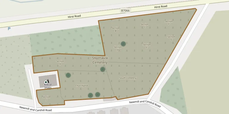
Shottskirk Cemetery on Shottsburn Road, Salsburgh, was opened for burials around 1876 and covers 1.78 hectares. It is managed by North Lanarkshire Council. The name is also used for the Kirk o' Shotts graveyard, which contains stones dating from as early as 1624 beside the category B listed church.
Cemetery location
GPS coordinates: 55.845798° N, 3.849900° W Directions in Google Maps (opens in a new tab)
Memorials
23 memorials, A–Z by surname.
 Agnes Chalmers ? – 1893
- Janet Chalmers ? – 1874
- Jeanie Chalmers ? – 1894
- John Chalmers ? – 1911
- Robert Chalmers ? – 1913
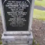 Catherine Durkin ? – 1934
- James Ferguson ? – 1896
- James Ferguson ? – 1951
 Alexander Forsyth ? – 1913
- Ann Forsyth 1825 – 1886
- James Forsyth ? – 1880
- William Forsyth ? – 1901
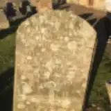 George Hill 1840 – 1846
- Jane Hill 1842 – 1843
- Jane Hill 1843 – 1844
- Jane Hill 1850 – 1851
- Annie Mulvey ? – 1968
- Annie Mulvey ? – 2012
- Michael Mulvey 1875 – 1950
- Jane Pearson 1840 – 1913
- Catherine Pollock ? – 1929
 John Wilson ? – 1893
- Mary Wilson 1829 – 1901
Looking for someone who isn't listed? Request a photo.
Nearby cemeteries
The closest other burial grounds listed on EveryStone.
- Kirk o’ Shotts 70 m away · Shotts
- South Cemetery 110 m away · Salsburgh
- Benhar Cemetery 4.4 km away · Shotts
- Calderhead Churchyard 4.5 km away · Shotts
- Shotts (Stane) Cemetery 5.7 km away · Shotts · 9 records
- Clarkston Churchyard 6.7 km away · Airdrie
- Holytown Cemetery 7.3 km away · Holytown · 12 records
- Cambusnethan Cemetery 8.5 km away · Cambusnethan · 9 records
- Wellwynd Churchyard 8.6 km away · Airdrie
- Greenhead Cemetery 8.8 km away · Wishaw
Contribute with the app
Our website works smoothly on both desktop and mobile devices. Prefer a native app? Check it out below.
- Capture clear headstone photos
- Save GPS grave locations automatically
- Transcribe inscriptions with our AI
- Suggest corrections to existing records
Common questions
How big is Shottskirk Cemetery?
Shottskirk Cemetery covers about 16,000 m² (4 acres), about the size of 2 soccer fields. It is the 3rd largest of the 7 cemeteries we list in Lanarkshire.
What is the oldest grave in this cemetery?
The oldest grave among the records we hold for Shottskirk Cemetery is that of Jane Hill, who died on March 11, 1843 at the age of 1.