
54
documented records
≈ 78–160
approx. capacity (graves)
3,920 m²
cemetery area
Nov 5, 2026
last modified
About this cemetery
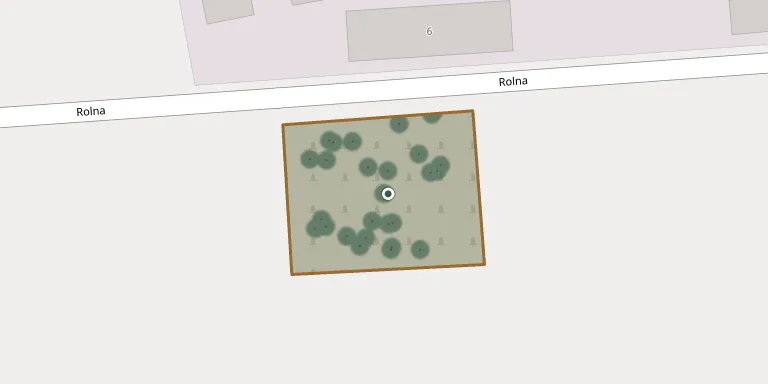
This is the churchyard cemetery around the parish church of St Michael the Archangel in Błociszewo, near Śrem. The date of its origin is hard to determine. The area around the church, the former churchyard, is fenced with a wooden fence and is recorded as a Roman Catholic churchyard cemetery in the Polish heritage register.
Cemetery location
GPS: GPS coordinates: 52.080799° N, 16.890900° E Directions in Google Maps (opens in a new tab)
Memorials
Showing the first 50 of 54, A–Z by last name. Search all records
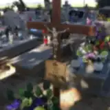 Jan Adamczyk 1947 – 2017
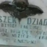 Tomaszek Dziadzio 1983 – 1983
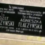 Agnieszka Flaczyńska 1879 – 1973
- Józef Flaczynski 1873 – 1956
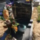 Józef Jaensch 1933 – 1985
- Leszek Jaensch 1958 – 2004
- Stanisława Jaensch 1929 – 2014
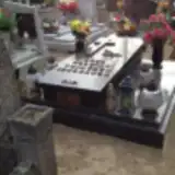 Cecylia Jenczak 1928 – 1998
- Ludwik Jenczak 1893 – 1974
- Marian Jenczak 1930 – 2014
- Zofia Jenczak 1892 – 1973
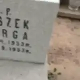 Leszek Jurga 1953 – 1953
 Stefan Jurga 1909 – 1976
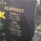 Marianna Kempinska 1924 – 2007
- Janka Kempińska 1955 – 1977
- Jan Kempiński 1918 – 1994
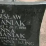 Marianna Kunc 1911 – 1974
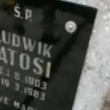 Ludwik Latos 1903 – 1983
- Janina Latosi 1916 – 1999
 Cecylia Majsner 1875 – 1965
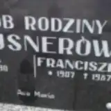 Franciszek Majsner 1907 – 1987
- Józefa Majsner 1906 – 1990
- Rafał Majsner 1875 – 1956
- Rafał Majsner 1912 – 2006
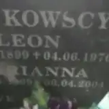 Marianna Mańkowska 1909 – 2004
- Leon Mańkowski 1899 – 1976
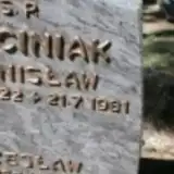 Czesław Marciniak 1955 – 2009
- Stanisława Marciniak 1927 – 2016
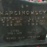 Anna Marcinowska 1875 – 1959
- Stefania Marcinowska 1921 – 2006
- Jan Marcinowski 1857 – 1937
- Ludwik Marcinowski 1911 – 1977
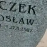 Lechosław Mroczek 1943 – 1987
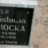 Stanisława Ochocka 1889 – 1979
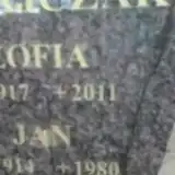 Jan Ratajczak 1914 – 1980
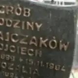 Rozalia Ratajczak 1894 – 1971
- Wojciech Ratajczak 1899 – 1984
- Zofia Ratajczak 1917 – 2011
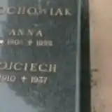 Anna Rochowiak 1908 – 1992
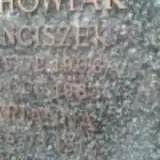 Franciszek Rochowiak 1906 – 1983
- Marianna Rochowiak 1914 – 1999
- Wojciech Rochowiak 1910 – 1937
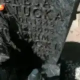 Teresa Statucka 1946 – 2005
- Hieronim Statucki 1940 – 2011
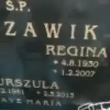 Regina Szczawik 1930 – 2007
- Roman Szczawik 1916 – 1990
- Urszula Szczawik 1961 – 2013
- Anna Urbaniak 1935 – 2006
- Stanisław Urbaniak 1927 – 1998
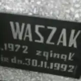 Piotr Waszak 1972 – 1992
Looking for someone who isn't listed? Request a photo.
Nearby cemeteries
The closest other burial grounds listed on EveryStone.
- Rąbiń Parish Cemetery 4.5 km away · Rąbiń · 29 records
- Manieczki Cemetery 4.7 km away · Manieczki · 28 records
- Dalewo St. Adalbert Parish Cemetery 6.2 km away · Dalewo · 51 records
- Brodnica Parish Cemetery 6.3 km away · Brodnica · 74 records
- Śrem Municipal Cemetery 6.8 km away · Śrem · 399 records
- Wyskoć St. Andrew the Apostle Parish Cemetery 7.2 km away · Wyskoć · 97 records
- Łuszkowo Cemetery 7.3 km away · Łuszkowo · 29 records
- Stary Gołębin Parish Cemetery 7.4 km away · Stary Gołębin · 17 records
- Górczyn Old Town Parish Cemetery 8.4 km away · Śrem · 137 records
- Mórka Blessed Virgin Mary Parish Cemetery 8.9 km away · Mórka · 53 records
Contribute with the app
Our website works smoothly on both desktop and mobile devices. Prefer a native app? Check it out below.
- Capture clear headstone photos
- Save GPS grave locations automatically
- Transcribe inscriptions with our AI
- Suggest corrections to existing records
Common questions
How big is Błociszewo Parish Cemetery?
Błociszewo Parish Cemetery covers about 3,920 m² (1 acre), about half the size of a soccer field. It is the 424th smallest of the 1,233 cemeteries we list in Greater Poland Voivodeship.
What is the oldest grave in this cemetery?
The oldest grave among the records we hold for Błociszewo Parish Cemetery is that of Jan Marcinowski, who died in 1937 at the age of 80.