
94
documented records
≈ 470–940
approx. capacity (graves)
0.024 km²
cemetery area
Nov 5, 2026
last modified
About this cemetery
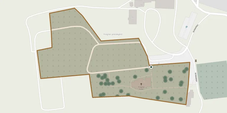
Frogner churchyard lies beside Frogner church in Lier municipality, Buskerud, and is one of four burial grounds administered by Lier church council. The present cruciform stone church dates from 1694. It replaced a medieval stone church, probably from the 1100s, that had stood southwest of Lierbyen.
Cemetery location
GPS coordinates: 59.779175° N, 10.224006° E Directions in Google Maps (opens in a new tab)
Memorials
Showing the first 50 of 94, A–Z by surname. Search all records
 Synnøve Aasland 1911 – 2002
 Nora Andresen 1900 – 1976
- Ottar Andresen 1894 – 1979
 Harriet Askerud 1903 – 1998
- Thv. Askerud 1897 – 1972
- Severin Åsland 1898 – 1976
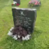 Ragnhild Berg 1885 – 1965
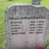 Bergit Drag 1931 – 2003
- Gerd Drag 1910 – 1991
- Rasmus Drag 1874 – 1963
- Thora Drag 1874 – 1967
- Verner Drag 1908 – 1984
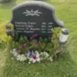 Johann Dugstad 1923 – 1999
- Kari Dugstad 1922 – 2020
- Gabriel Engen 1894 – 1987
- Ingeborg Engen 1891 – 1978
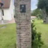 Anne Eriksrud 1952 – 1961
- Gunhild Eriksrud 1846 – 1890
- Karen Eriksrud 1899 – 1991
- Reinhart Eriksrud 1847 – 1918
- Retar Eriksrud 1887 – 1969
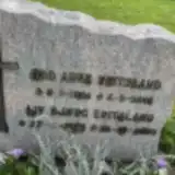 Liv Eritsland 1945 – 2020
- Odd Eritsland 1944 – 2016
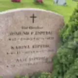 Aase Espedal 1916 – 1946
- Edmund Espedal 1925 – 1948
- Karina Espedal 1874 – 1968
 Ingrid Fanuelsen 1909 – 1988
- Kaare Fanuelsen 1909 – 1992
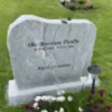 Ole-Kristian Fladby 1944 – 2021
 Olav Gussgård 1903 – 1986
- Ragna Gussgård 1909 – 2001
 Einar Hafskjold 1882 – 1948
- Ella Hafskjold 1916 – 1941
- Margit Hafskjold 1914 – 1933
- Sigrid Hafskjold 1882 – 1965
 Henry Håkonsen 1905 – 1987
- Selma Håkonsen 1915 – 1998
- Roar Helgesen 1971 – 2003
 Ingeborg Hennum 1901 – 1951
- Olaf Hennum 1892 – 1974
 Erico Kagiavas 1967 – 1995
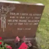 Helene Klausen 1918 – 2005
- Terje Klausen 1916 – 1965
 Konrad Korneliussen 1910 – 1996
- Solveig Kornelussen 1914 – 1996
 Andreas Leret 1865 – 1932
- Annette Leret 1900 – 1990
- Marie Leret 1867 – 1958
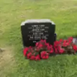 Åge Lund 1923 – 1989
- Gerd Lund 1928 – 1943
Looking for someone who isn't listed? Request a photo.
Nearby cemeteries
The closest other burial grounds listed on EveryStone.
- Bragernes Churchyard 3.8 km away · Drammen · 13 records
- Tranby Churchyard 4.0 km away · Tranby
- Bragernes Lower Churchyard 4.0 km away · Drammen
- Strømsgodset Churchyard 4.6 km away · Drammen
- Strømsø Cemetery 4.9 km away · Strømsø · 105 records
- Tangen Cemetery 6.1 km away · Tangen
- Åssiden Churchyard 6.5 km away · Drammen
- Konnerud Old Churchyard 8.0 km away · Drammen · 125 records
- Røyken Churchyard 9.8 km away · Røyken · 64 records
- Skoger Churchyard 10 km away · Drammen · 161 records
Contribute with the app
Our website works smoothly on both desktop and mobile devices. Prefer a native app? Check it out below.
- Capture clear headstone photos
- Save GPS grave locations automatically
- Transcribe inscriptions with our AI
- Suggest corrections to existing records
Common questions
How big is Frogner Cemetery?
Frogner Cemetery covers about 24,000 m² (5.8 acres), about the size of 3 soccer fields. It is the 11th largest of the 79 cemeteries we list in Buskerud.
What is the oldest grave in this cemetery?
The oldest grave among the records we hold for Frogner Cemetery is that of Gunhild Eriksrud, who died on December 25, 1890 at the age of 44.