
Cemetery #29036
Pant Cemetery
160
documented records
≈ 1,600–3,200
approx. capacity (graves)
0.080 km²
cemetery area
Nov 6, 2026
last modified
About this cemetery
Pant Cemetery, also listed by the CWGC as Merthyr Tydfil (Pant) Cemetery, is a Victorian burial ground established in 1860, about three miles north of Merthyr Tydfil town centre on the road to Pontsticill. Its gates have notable ironwork. The council has begun a process of reclaiming burial spaces.
Cemetery location
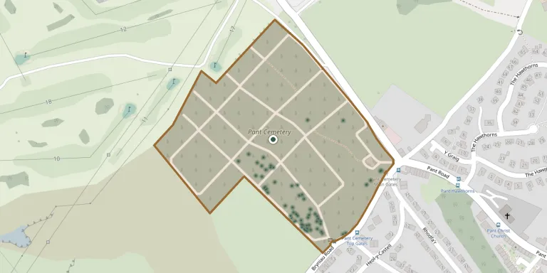
GPS coordinates: 51.774200° N, 3.364000° W Directions in Google Maps (opens in a new tab)
Memorials
Showing the first 50 of 160, A–Z by surname. Search all records
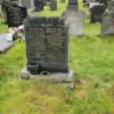 Nora Cooper ? – 1976
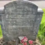 William Cowhig ? – 1929
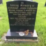 Astley Farrow ? – 1961
- Edward Farrow ? – 1980
- Maggie Farrow 1904 – 1994
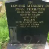 Ellen Ferriter 1900 – 1972
- John Ferriter ? – 1946
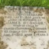 Helen Fitzgerald 1895 – 1939
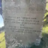 Ann Griffiths ? – 1910
- David Griffiths ? – 1876
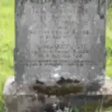 Jane Griffiths 1874 – 1955
- Margaret Griffiths ? – 1906
- Thomas Griffiths 1877 – 1877
- Thomas Griffiths ? – 1879
- William Griffiths ? – 1925
 Ada Hagerty 1918 – 2012
- Bernard Hagerty 1913 – 1987
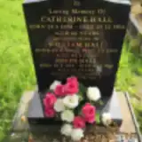 Catherine Hall 1896 – 1956
 Charles Hall 1925 – 2012
- Joseph Hall 1928 – 2011
- William Hall 1880 – 1964
 Mary Harrington ? – 1945
- Michael Harrington 1879 – 1952
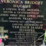 Terence Hughes ? – 2007
- Veronica Hughes 1930 – 2001
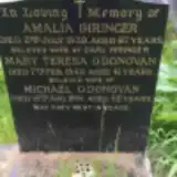 Amalia Ihringer ? – 1939
 Annie Jenkins ? – 1917
- David Jenkins ? – 1974
- Edward Jenkins 1923 – 1924
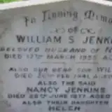 Helen Jenkins ? – 1970
- Mary Jenkins ? – 1901
- Nancy Jenkins ? – 1977
- William Jenkins ? – 1958
- William Jenkins 1932 – 1941
 Alice Jones 1862 – 1921
 Daniel Jones ? – 1857
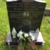 Jason Jones ? – 1994
- Rebecca Jones ? – 1936
- Sophia Jones 1874 – 1940
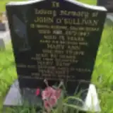 Mary Kemp ? – 1981
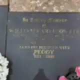 Peggy Lee 1921 – 2008
- William Lee ? – 1996
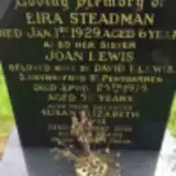 Joan Lewis ? – 1975
- Susan Lewis 1961 – 2016
 Daniel Lorden ? – 1865
 Joaquina Losada ? – 1950
- John Losada ? – 1943
- Venerando Losada 1878 – 1950
 Daniel McCarthy 1874 – 1946
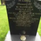 Edward McCarthy 1923 – 1998
Looking for someone who isn't listed? Request a photo.
Nearby cemeteries
The closest other burial grounds listed on EveryStone.
- St Gwynnos Church, Vaynor 1.5 km away · Vaynor
- St. Gwendoline Churchyard, Vaynor 1.5 km away · Merthyr Tydfil · 3 records
- Twynyrodyn Cemetery 3.4 km away · Merthyr Tydfil
- Cefn Coed Cemetery 3.5 km away · Merthyr Tydfil · 68 records
- Merthyr Tydfil Jewish Cemetery 3.5 km away · Trefechan
- Ffrwd Cemetery Penderyn 3.6 km away · Merthyr Tydfil · 54 records
- Beacons Park Natural Burial Ground 3.6 km away · Merthyr Tydfil
- Rhymney Cemetery 4.8 km away · Rhymney
- Llwyn-onn Cemetery 5.0 km away · Llwyn-onn
- Saint David's Church, Rhymney 5.3 km away · Rhymney
Contribute with the app
Our website works smoothly on both desktop and mobile devices. Prefer a native app? Check it out below.
- Capture clear headstone photos
- Save GPS grave locations automatically
- Transcribe inscriptions with our AI
- Suggest corrections to existing records
Common questions
How big is Pant Cemetery?
Pant Cemetery covers about 80,000 m² (20 acres), about the size of 11 soccer fields. It is the largest of the 14 cemeteries we list in Merthyr Tydfil.
What is the oldest grave in this cemetery?
The oldest grave among the records we hold for Pant Cemetery is that of Daniel Jones, who died in 1857.