
Cemetery #30058
Rochford District Council Cemetery
Also known as Rayleigh Cemetery
93
documented records
≈ 410–830
approx. capacity (graves)
0.021 km²
cemetery area
Nov 5, 2026
last modified
About this cemetery
This cemetery on Hockley Road in Rayleigh dates back to the 1880s. It is owned and managed by Rochford District Council, which runs two cemeteries in the district, the other being at Hall Road, Rochford.
Cemetery location
GPS: GPS coordinates: 51.593651° N, 0.613560° E Directions in Google Maps (opens in a new tab)
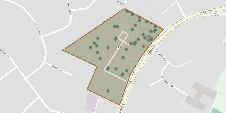
Memorials
Showing the first 50 of 93, A–Z by last name. Search all records
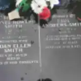 Paul Andrews-Smith 1957 – 2005
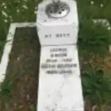 George Binger 1934 – 1982
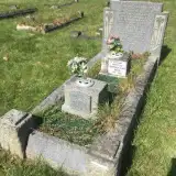 Arthur Bishop ? – 1936
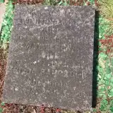 Hilda Chapman 1896 – 1981
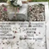 Elaine Fell 1954 – 1997
- Mary Firman ? – 1939
- May Gill 1892 – 1967
- Winifred Gill 1896 – 1978
 Eric Giller 1900 – 1983
- Mary Giller 1894 – 1988
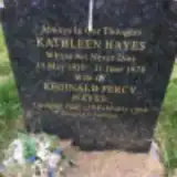 Kathleen Hayes 1910 – 1978
- Reginald Hayes 1920 – 1964
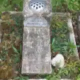 Doris Haysman 1912 – 2012
- Stephen Haysman ? – 1985
 Arthur Hood 1894 – 1973
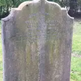 William Knights 1878 – 1897
 Susan Law 1853 – 1938
 Richard Lewis 1914 – 1986
 May Lloyd 1912 – 1989
 Angus MacPherson 1912 – 1945
- Doris MacPherson 1910 – 1945
 Harry Marchant ? – 1995
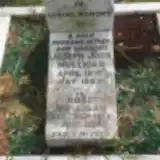 Joseph Mulligan 1910 – 1983
- Rose Mulligan 1914 – 2008
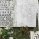 Harold Newman 1922 – 1992
- Louisa Newman 1922 – 2010
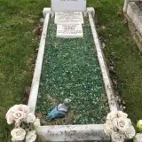 Gillian Nunn 1955 – 2010
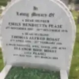 Emily Pease 1895 – 1970
 Joel Risidore 1917 – 1988
- Eleanor Roast 1925 – 2019
- Thomas Roast 1926 – 1991
 Beatrice Robertson 1916 – 2011
- Edward Robertson 1902 – 1990
- Frederick Rollingson 1921 – 1990
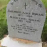 Ivy Romang 1919 – 2013
- Josephine Romang 1877 – 1962
- Maud Romang 1889 – 1987
 Andrew Rose 1961 – 1977
- Francis Rose 1926 – 2004
- Hilda Rothon 1909 – 1986
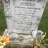 Freda Royce ? – 2000
- Sidney Royce 1915 – 2008
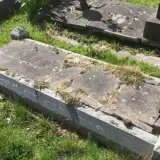 Agnes Salmon 1868 – 1935
 Ivy Salmon 1910 – 1985
- Robert Salmon ? – 1981
 Nellie Sargenti 1904 – 2001
- Salvatore Sargenti 1907 – 1975
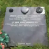 Emma Saunders 1979 – 1980
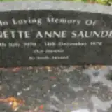 Jeannette Saunders 1970 – 1978
- Joseph Saunders 1919 – 1981
Looking for someone who isn't listed? Request a photo.
Nearby cemeteries
The closest other burial grounds listed on EveryStone.
- Holy Trinity Churchyard 720 m away · Rayleigh
- St Peter and St Paul Churchyard 2.4 km away · Hockley
- Daws Heath Cemetery 2.9 km away · Daws Heath
- Rawreth (St. Nicholas) Churchyard 3.6 km away · Rawreth
- Woodside Cemetery 3.9 km away · South Benfleet · 3 records
- St Peter Churchyard 4.0 km away · Thundersley
- Hall Road Cemetery 4.4 km away · Rochford
- St James the Less Churchyard 4.5 km away · Hadleigh
- St Marys Church, Hawkwell 4.9 km away · Hawkwell · 19 records
- All Saints Churchyard 5.2 km away · North Benfleet
Contribute with the app
Our website works smoothly on both desktop and mobile devices. Prefer a native app? Check it out below.
- Capture clear headstone photos
- Save GPS grave locations automatically
- Transcribe inscriptions with our AI
- Suggest corrections to existing records
Common questions
How big is Rochford District Council Cemetery?
Rochford District Council Cemetery covers about 21,000 m² (5.1 acres), about the size of 3 soccer fields. It is the 38th largest of the 484 cemeteries we list in Essex.
What is the oldest grave in this cemetery?
The oldest grave among the records we hold for Rochford District Council Cemetery is that of William Knights, who died on August 5, 1897 at the age of 18.