
50
documented records
≈ 180–370
approx. capacity (graves)
9,140 m²
cemetery area
Nov 6, 2026
last modified
About this cemetery
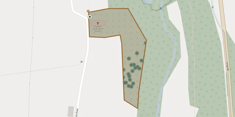
St James' Church stands on a slope above the River Goyt in the hamlet of Taxal, within the Peak District National Park. It is one of two church buildings in the parish of Whaley Bridge, and is Grade II* listed. The graveyard was possibly established in the 16th century.
Cemetery location
GPS coordinates: 53.315327° N, 1.991884° W Directions in Google Maps (opens in a new tab)
Memorials
50 memorials, A–Z by surname.
 Albert Brown ? – 1981
- Mary Brown 1898 – 1978
 Francis Clarke 1919 – 2003
- Lilian Clarke 1925 – 2003
- Nigel Clarke ? – 1979
 Amelia Garlick 1885 – 1959
- John Garlick 1882 – 1963
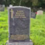 Lance Gwilliam 1983 – 2018
- Margaret Hewitt 1884 – 1949
- Percy Hewitt 1893 – 1963
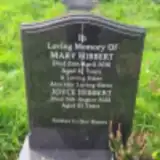 Joyce Hibbert 1937 – 2022
- Mary Hibbert ? – 2016
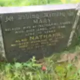 Mary Hibbert 1878 – 1948
- Nathaniel Hibbert ? – 1968
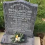 Hilda Lawford 1922 – 2007
- Ronald Lawford 1924 – 2014
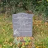 Brian Light 1930 – 2013
- Elaine Light 1930 – 2020
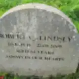 Robert Lindsey 1945 – 2009
 George Lomas ? – 1965
- Jessie Lomas 1909 – 1986
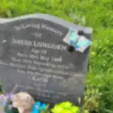 David Longden 1966 – 2019
- Kath Longden 1942 – 2020
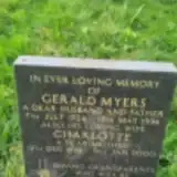 Charlotte Myers 1928 – 2000
- Gerald Myers 1924 – 1996
 Fred Pearson 1896 – 1978
- May Pearson ? – 1977
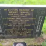 Florrie Rawlinson 1901 – 1994
- Redvers Rawlinson 1900 – 1987
 Dorothy Sharpley ? – 2007
- Harold Sharpley ? – 2010
- Peter Sharpley 1956 – 1957
- Pamela Shasha 1917 – 2023
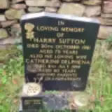 Catherine Sutton ? – 1999
- Harry Sutton 1908 – 1981
- Jennifer Sutton 1950 – 2003
 James Swindells 1911 – 1984
- Roy Swindells 1955 – 2011
- Henry Travis 1866 – 1947
- Jos Travis ? – 1918
- Sarah Travis ? – 1951
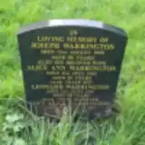 Alice Warrington ? – 1964
- Joseph Warrington ? – 1959
- Leonard Warrington ? – 1987
- Lucy Warrington 1917 – 2003
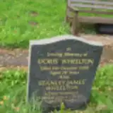 Doris Wheelton ? – 1994
- Stanley Wheelton 1920 – 2012
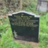 Jessie Wilson ? – 1987
- Thomas Wilson 1920 – 1991
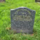 Stuart Winter 1943 – 2002
Looking for someone who isn't listed? Request a photo.
Nearby cemeteries
The closest other burial grounds listed on EveryStone.
- Fernilee Methodist Church 1.4 km away · High Peak
- St. James Churchyard 2.8 km away · High Peak · 43 records
- St. John the Evangelist Churchyard 3.9 km away · Ginclough
- Errwood Hall Cemetery 5.1 km away · High Peak
- St Thomas A Beckett Churchyard 5.2 km away · High Peak · 99 records
- Chinley Independent Chapelyard 5.4 km away · High Peak · 33 records
- Town End Methodist Church, Chapel-en-le-Frith 5.6 km away · Chapel-en-le-Frith · 56 records
- St. George's Churchyard 5.6 km away · New Mills
- Saint Mary's Parish Church, Disley 5.7 km away · Disley
- New Mills Wesleyan Cemetery 6.0 km away · New Mills
Contribute with the app
Our website works smoothly on both desktop and mobile devices. Prefer a native app? Check it out below.
- Capture clear headstone photos
- Save GPS grave locations automatically
- Transcribe inscriptions with our AI
- Suggest corrections to existing records
Common questions
How big is St. James Churchyard?
St. James Churchyard covers about 9,140 m² (2.3 acres), about the size of a soccer field. It is the 75th largest of the 319 cemeteries we list in Derbyshire.
What is the oldest grave in this cemetery?
The oldest grave among the records we hold for St. James Churchyard is that of Jos Travis, who died on July 5, 1918.