
Cemetery #3036
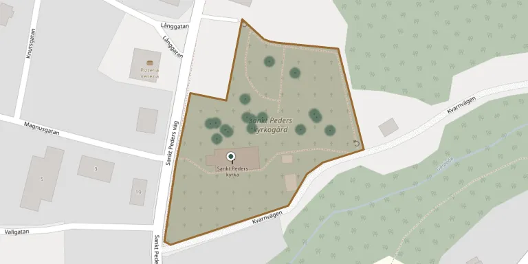
S:t Peders Churchyard
Local name: S:t Peders Kyrkogård
Also known as Sankt Peders kyrkogård
27
documented records
≈ 200–390
approx. capacity (graves)
9,790 m²
cemetery area
Nov 5, 2026
last modified
About this cemetery
The churchyard belongs to Sankt Peder church in the Lödöse area of Västra Götaland. The church has medieval origins and received its present appearance in 1846, and the parish has been an annex parish of Skepplanda since 1864.
Cemetery location
GPS: GPS coordinates: 58.031281° N, 12.156215° E Directions in Google Maps (opens in a new tab)
Memorials
27 memorials, A–Z by surname.
 Edon Alkinge 1931 – 2005
 Anders Andersson ? – 1957
- Ingeborg Andersson 1939 – 1971
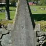 Kerstin Börjesdotter 1808 – 1819
 Bror Edström 1909 – 1967
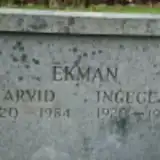 Arvid Ekman 1920 – 1984
- Ingegerd Ekman 1920 – 1995
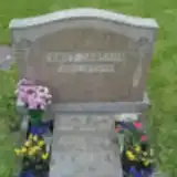 Arne Jansson 1931 – 2008
 Axel Johansson 1898 – 1980
- Inger Johansson 1923 – 2006
- Tekla Johansson 1897 – 1987
 Erik Jonasson 1900 – 1973
- Sara Jonasson 1897 – 1934
 Verner Jonson ? – 1950
- Hlma Jonsson 1879 – 1957
 Ellen Karlsson 1919 – 1974
- Jan-Olof Karlsson 1950 – 2002
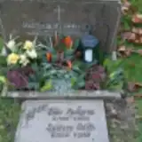 Edith Kjellgren 1903 – 1993
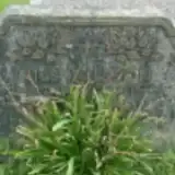 Irma Nilsson 1904 – 1977
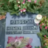 Henry Olsson 1901 – 1977
- Jenny Olsson 1898 – 1982
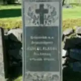 Samuel Olsson 1838 – 1905
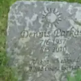 Dennis Parkås 1957 – 2010
- Karin Svensson 1909 – 1955
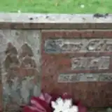 Lars Wall 1926 – 1991
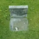 Olga Weber ? – 1996
- Willy Weber 1903 – 1981
Looking for someone who isn't listed? Request a photo.
Nearby cemeteries
The closest other burial grounds listed on EveryStone.
- Ale-Skövde Churchyard 4.5 km away · Lilla Edet · 12 records
- Skepplanda Churchyard 6.0 km away · Skepplanda · 63 records
- Västerlanda Churchyard 6.9 km away · Lilla Edet · 99 records
- Hålanda Churchyard 7.7 km away · Ale
- Starrkärr Churchyard 11 km away · Älvängen · 74 records
- Fuxerna Churchyard 11 km away · Lilla Edet · 44 records
- Kilanda Churchyard 11 km away · Älvängen · 4 records
- Högstorp Churchyard 11 km away · Lilla Edet · 77 records
- Ucklums Churchyard 13 km away · Stenungsund · 80 records
- Romelanda Churchyard 14 km away · Kungälv · 58 records
Contribute with the app
Our website works smoothly on both desktop and mobile devices. Prefer a native app? Check it out below.
- Capture clear headstone photos
- Save GPS grave locations automatically
- Transcribe inscriptions with our AI
- Suggest corrections to existing records
Common questions
How big is S:t Peders Churchyard?
S:t Peders Churchyard covers about 9,790 m² (2.4 acres), about the size of a soccer field. It is the 263rd largest of the 672 cemeteries we list in Västra Götaland.
What is the oldest grave in this cemetery?
The oldest grave among the records we hold for S:t Peders Churchyard is that of Kerstin Börjesdotter, who died on November 2, 1819 at the age of 11.