
0
documented records
≈ 190–380
approx. capacity (graves)
9,550 m²
cemetery area
Oct 6, 2026
last modified
About this cemetery
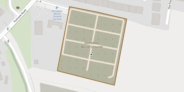
Donabate Cemetery lies in County Dublin, Ireland.
Cemetery location
GPS coordinates: 53.490158° N, 6.138741° W Directions in Google Maps (opens in a new tab)
Memorials
No records yet
Photograph a headstone and add it to the archive.
Looking for someone who isn't listed? Request a photo.
Nearby cemeteries
The closest other burial grounds listed on EveryStone.
- Donabate Old Graveyard 890 m away · Donabate
- St Patrick's Graveyard (RC) 900 m away · Donabate · 4 records
- Saint Catherine's Churchyard 1.8 km away · Portraine
- St. Ita's Hospital Cemetery 2.3 km away · Portraine
- Kilcrea Cemetery 2.5 km away · Seafield
- Whitestown Cemetery 3.3 km away · Rush
- Ballymadrough Graveyard 3.6 km away · Seafield
- Saint Macculind's 4.4 km away · Lusk
- Lusk Castle Churchyard Cemetery 4.4 km away · Lusk
- Malahide Cemetery 4.7 km away · Malahide
Contribute with the app
Our website works smoothly on both desktop and mobile devices. Prefer a native app? Check it out below.
- Capture clear headstone photos
- Save GPS grave locations automatically
- Transcribe inscriptions with our AI
- Suggest corrections to existing records
Common questions
How big is Donabate Cemetery?
Donabate Cemetery covers about 9,550 m² (2.4 acres), about the size of a soccer field. It is the 37th largest of the 172 cemeteries we list in County Dublin.