
Cemetery #3071
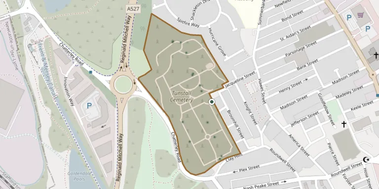
Tunstall Cemetery
Also known as Tunstall Municipal Cemetery
30
documented records
≈ 1,600–3,200
approx. capacity (graves)
0.080 km²
cemetery area
Nov 5, 2026
last modified
About this cemetery
Tunstall Cemetery on Jacqueline Street in Tunstall, Stoke-on-Trent, was opened in 1868 on land that had been part of Tunstall Farm. It is managed by the city council and stands on steep ground above Chatterley Valley. Its original cemetery chapel has since been demolished.
Cemetery location
GPS coordinates: 53.061329° N, 2.218640° W Directions in Google Maps (opens in a new tab)
Memorials
30 memorials, A–Z by surname.
 Sarah Bamford 1910 – 1993
 Emma Bourne 1858 – 1915
- Henry Bourne 1855 – 1915
 Martha Cartlidge 1894 – 1990
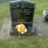 Katherine Neate 1919 – 1993
- Norman Neate 1919 – 1985
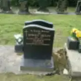 Bertha Pedley 1901 – 1977
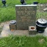 Bernard Pointon 1940 – 2004
- George Pointon 1905 – 1968
- Mary Pointon 1915 – 1968
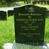 Hannah Ray 1893 – 1937
- William Ray 1893 – 1956
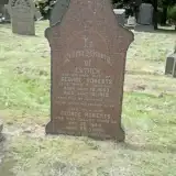 Esther Roberts 1843 – 1919
- George Roberts ? – 1924
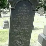 Cladys Rowland ? – 1973
- Ethel Rowland ? – 1947
- James Rowland 1857 – 1937
- Mary Rowland ? – 1927
- Annie Roycroft 1886 – 1968
- Harry Roycroft 1883 – 1939
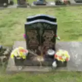 Marjorie Sayer 1929 – 2005
- Norman Sayer 1928 – 1996
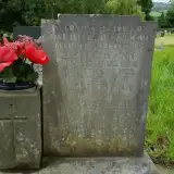 Daniel Swingewood 1894 – 1925
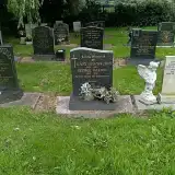 George Walton 1907 – 1995
- Mary Walton 1909 – 1954
 George Webb ? – 1968
- Rose Webb 1900 – 1975
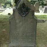 John Williams ? – 1887
- Martha Williams 1824 – 1910
- Winifred Williams ? – 1925
Looking for someone who isn't listed? Request a photo.
Nearby cemeteries
The closest other burial grounds listed on EveryStone.
- Stoke-on-Trent (Saint John) Churchyard 2.6 km away · Stoke-on-Trent · 45 records
- Kidsgrove Cemetery 3.0 km away · Stoke-on-Trent
- St. James the Apostle Churchyard 3.0 km away · Newchapel · 9 records
- Commonwealth War Graves Cemetery, Stoke-on-Trent 3.2 km away · Stoke-on-Trent
- Smallthorne Cemetery 3.2 km away · Ford Green
- Attwood Street Methodist Cemetery 3.3 km away · Kidsgrove
- Kidsgrove Cemetery 3.3 km away · Kidsgrove · 2 records
- Burslem Cemetery 3.4 km away · Burslem
- St Margaret Churchyard 3.5 km away · Wolstanton · 68 records
- Chesterton Cemetery 3.6 km away · Newcastle-under-Lyme
Contribute with the app
Our website works smoothly on both desktop and mobile devices. Prefer a native app? Check it out below.
- Capture clear headstone photos
- Save GPS grave locations automatically
- Transcribe inscriptions with our AI
- Suggest corrections to existing records
Common questions
How big is Tunstall Cemetery?
Tunstall Cemetery covers about 80,000 m² (20 acres), about the size of 11 soccer fields. It is the 7th largest of the 244 cemeteries we list in Staffordshire.
What is the oldest grave in this cemetery?
The oldest grave among the records we hold for Tunstall Cemetery is that of John Stant Williams, who died on March 16, 1887.