
Cemetery #30732
Ravenna War Cemetery
Local name: Cimitero di Guerra di Ravenna
Also known as Cimitero di Guerra del Commonwealth Ravenna
0
documented records
≈ 220–440
approx. capacity (graves)
0.011 km²
cemetery area
Oct 18, 2026
last modified
About this cemetery
Located near the village of Piangipane, this war cemetery has held the fallen of the surrounding area since 1945. It contains 955 Commonwealth burials of the Second World War, 63 of them unidentified, along with remains of First World War casualties moved from other cemeteries. Many soldiers of the Jewish Brigade who died in the fighting around Ravenna are buried here. For more information, see cwgc.org.
Cemetery location
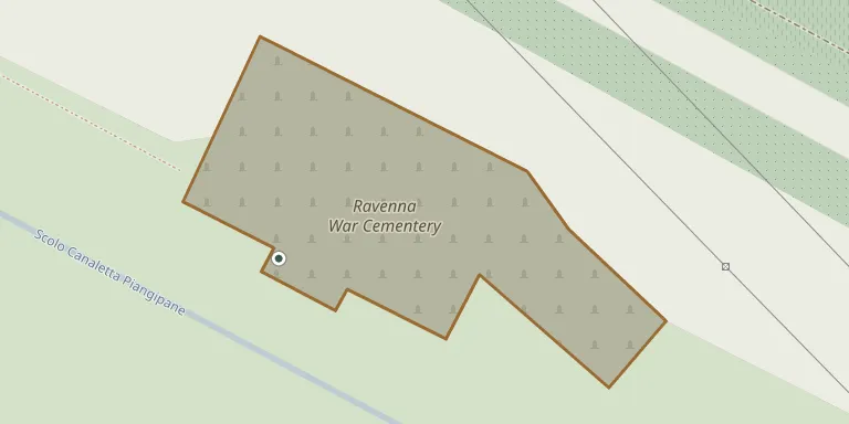
GPS coordinates: 44.441525° N, 12.107673° E Directions in Google Maps (opens in a new tab)
Memorials
No records yet
Photograph a headstone and add it to the archive.
Looking for someone who isn't listed? Request a photo.
Nearby cemeteries
The closest other burial grounds listed on EveryStone.
- Caduti del Gruppo di Combattimento “Cremona” 2.1 km away · CàDi Guardia
- Piangipane Cemetery 3.5 km away · Piangipane
- Santerno Cemetery 3.6 km away · Santerno
- Mezzano Cemetery 4.1 km away · Borgo Masotti
- Villanova Canadian War Cemetery 4.6 km away · Villanova
- Villanova Cemetery 4.7 km away · Località della Chiesa
- Godo Cemetery 6.9 km away · Godo
- Traversara Cemetery 7.4 km away · Traversara
- San Marco Cemetery 8.0 km away · San Marco
- Alfonsine Cemetery 8.1 km away · Alfonsine
Contribute with the app
Our website works smoothly on both desktop and mobile devices. Prefer a native app? Check it out below.
- Capture clear headstone photos
- Save GPS grave locations automatically
- Transcribe inscriptions with our AI
- Suggest corrections to existing records
Common questions
How big is Ravenna War Cemetery?
Ravenna War Cemetery covers about 11,000 m² (2.7 acres), about the size of 2 soccer fields. It is the 161st largest of the 1,833 cemeteries we list in Emilia-Romagna.