
Cemetery #307997
Lhota u Konice Cemetery
Local name: Hřbitov ve Lhotě u Konice
Also known as Opuštěný Hřbitov Lhota u Konice
0
documented records
≈ 24–49
approx. capacity (graves)
1,210 m²
cemetery area
Oct 18, 2026
last modified
About this cemetery
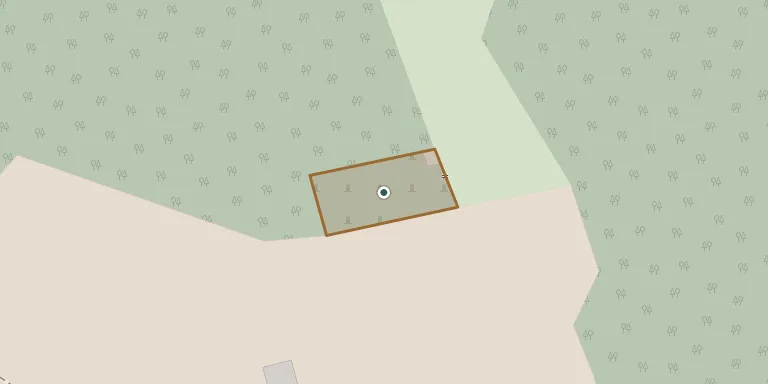
This abandoned German cemetery lies on the northern edge of Lhota u Konice, at the edge of a forest and reached by a path of several hundred metres through the woods. It ceased to be used in the second half of the 20th century. It is now overgrown with grass and saplings, and the gravestones are devastated.
Cemetery location
GPS: GPS coordinates: 49.562038° N, 16.855671° E Directions in Google Maps (opens in a new tab)
Memorials
No records yet
Photograph a headstone and add it to the archive.
Looking for someone who isn't listed? Request a photo.
Nearby cemeteries
The closest other burial grounds listed on EveryStone.
- Brodek u Konice Cemetery 2.1 km away · Brodek u Konice · 61 records
- Suchdol Cemetery 2.7 km away · Suchdol · 349 records
- Skřípov Cemetery 3.5 km away · Skřípov · 28 records
- Konice Cemetery 4.0 km away · Konice · 248 records
- Horní Štěpánov Cemetery 5.0 km away · Horní Štěpánov · 61 records
- Šubířov Cemetery 5.3 km away · Šubířov
- Jesenec Cemetery 5.4 km away · Jesenec
- Stražisko Cemetery 5.9 km away · Stražisko · 29 records
- Úsobrno Cemetery 7.8 km away · Nový Dvůr
- Přemyslovice Cemetery 7.9 km away · Přemyslovice · 139 records
Contribute with the app
Our website works smoothly on both desktop and mobile devices. Prefer a native app? Check it out below.
- Capture clear headstone photos
- Save GPS grave locations automatically
- Transcribe inscriptions with our AI
- Suggest corrections to existing records
Common questions
How big is Lhota u Konice Cemetery?
Lhota u Konice Cemetery covers about 1,210 m² (0.3 acres), about the size of 5 tennis courts. It is the 63rd smallest of the 413 cemeteries we list in Olomouc Region.