
0
documented records
≈ 42–83
approx. capacity (graves)
2,080 m²
cemetery area
Oct 18, 2026
last modified
About this cemetery
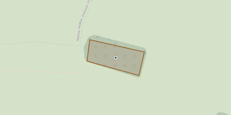
The Jewish cemetery was founded before 1640 by the Jewish religious community established in Jistebnice in the first quarter of the 17th century. It lies on a slope near the village of Pohoří, a few kilometres west of Jistebnice. The last burial took place in 1943, and around 200 gravestones survive.
Cemetery location
GPS: GPS coordinates: 49.482683° N, 14.505625° E Directions in Google Maps (opens in a new tab)
Memorials
No records yet
Photograph a headstone and add it to the archive.
Looking for someone who isn't listed? Request a photo.
Nearby cemeteries
The closest other burial grounds listed on EveryStone.
- Jistebnice Cemetery 1.5 km away · Jistebnice · 32 records
- Nadějkov Cemetery 3.2 km away · Nadějkov
- Hodušín Cemetery 5.9 km away · Hodušsín
- Květuš Jewish Cemetery 6.5 km away · Květuš
- Borotín Cemetery 7.0 km away · Kostelec
- Chyšky Cemetery 7.3 km away · Chyšky · 26 records
- Dražice Cemetery 7.4 km away · Dražice
- Balkova Lhota Cemetery 8.2 km away · Balkova Lhota
- Borotín Cemetery 8.2 km away · Borotín
- Dražice Cemetery 8.3 km away · Dražice
Contribute with the app
Our website works smoothly on both desktop and mobile devices. Prefer a native app? Check it out below.
- Capture clear headstone photos
- Save GPS grave locations automatically
- Transcribe inscriptions with our AI
- Suggest corrections to existing records
Common questions
How big is Jistebnice Jewish Cemetery?
Jistebnice Jewish Cemetery covers about 2,080 m² (0.5 acres), about the size of 8 tennis courts. It is the 167th smallest of the 395 cemeteries we list in South Bohemian Region.